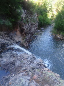
Tabeguache Creek (North Fork)
| Rating: | |||||||||||||||||||||||||||||||
|---|---|---|---|---|---|---|---|---|---|---|---|---|---|---|---|---|---|---|---|---|---|---|---|---|---|---|---|---|---|---|---|
| | Raps:3, max ↨140ft
Red Tape:No permit required Shuttle: Vehicle:4WD Rock type:Granite | ||||||||||||||||||||||||||||||
| Start: | |||||||||||||||||||||||||||||||
| Parking: | |||||||||||||||||||||||||||||||
| Condition Reports: | |||||||||||||||||||||||||||||||
| Best season: | Jun-Sep
|
||||||||||||||||||||||||||||||
| Regions: | |||||||||||||||||||||||||||||||
Introduction[edit]
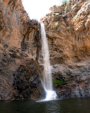
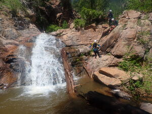
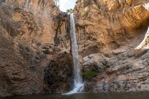
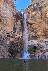
The 140ft Tabeguache Falls (pronounced TAB-a-watch) and the few waterfalls above it carve through a short section of Precambrian Granite on the West side of the Uncompahgre Plateau.
Approach[edit]
Drive West on Copper King / S38 Road from the Nucla-Delta Road for 6.2 miles. Park at the end of the road, which is the Copper King Trailhead.
Hike North for 1.55 miles on the Copper King Trail until the trail crosses North Fork Tabeguache Creek. Begin the descent down the streamcourse.
Descent[edit]
DC: 10'
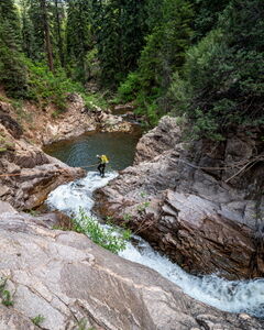
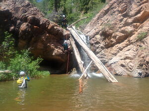
R1: 140' from webbing anchor around a rock. A 175' pull rope is required to pull from the far, dry side of the pool at the bottom of the drop.
R2: 20' from a slung rock in the streamcourse over an overhung ledge into a pool below.
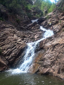
DC: 20' on Canyon Left to skirt a low angle waterfall.
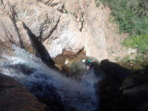
R3: 140' Tabeguache Falls from a tree on Canyon Left. Rappel a 25' initial drop onto a ledge with a pothole on Rappeller's Right. The rope angle from the anchor may stick a rope when pulling it down. Consider the last person descending on Rappeller's Left of the pothole, which is out of the flow but should aid rope retrieval.
Further downstream from R3 is another short waterfall, but exits below this point are unknown.
Exit[edit]
Shortly after R3, take off wetsuits at a large flat rocky area before following game trails up the initially steep dirt slope on Canyon Left to intersect the hiking trail used on the approach. Return to the cars.
Red tape[edit]
Beta sites[edit]
Trip reports and media[edit]
2024-06-08 First known descent. Ira Lewis, Andrew Tanasescu, Cassie Taylor, Jim Rickard. Photo credit: Ira, Andrew, Cassie.
