The Alley
| Rating: | |||||||||||||||||||||||||||||||
|---|---|---|---|---|---|---|---|---|---|---|---|---|---|---|---|---|---|---|---|---|---|---|---|---|---|---|---|---|---|---|---|
| | Raps:7, max ↨100ft
Red Tape:No permit required Shuttle:None Vehicle:Passenger Rock type:Granite | ||||||||||||||||||||||||||||||
| Start: | |||||||||||||||||||||||||||||||
| Parking: | |||||||||||||||||||||||||||||||
| Condition Reports: | |||||||||||||||||||||||||||||||
| Best season: | Spring, Fall, Winter
|
||||||||||||||||||||||||||||||
| Regions: | |||||||||||||||||||||||||||||||
Introduction[edit]
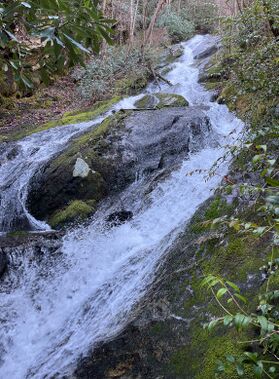
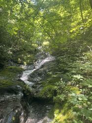
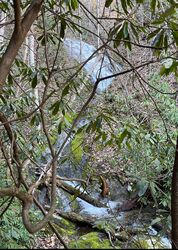
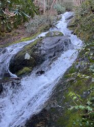
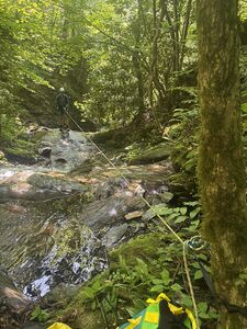
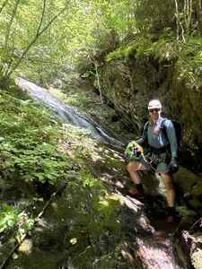
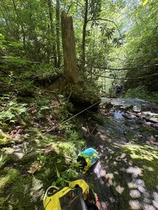
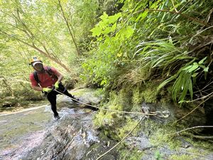
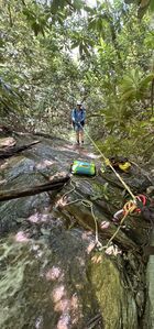
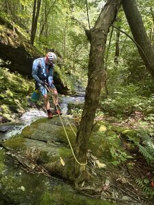
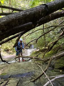
A hidden gem if water is moderate An unnamed creek Tumbles rapidly down 2000 feet off the Appalachian Trail just below the Jump up losing 400 feet in less than 1/4 fit 7 technical descents. All sloping rappels No free hangs here Do Not Go with low flow in Summer, otherwise it’ll be a wet rock rappel 3 Continuous rappels of over 280’ in watercourse, spicy given normal conditions A total of 7 rappels in 1/4 mile
Note: Special Considerations if Flow is Too High or Raging This will be unrunable as anchors 3,,4,5 are in a near continuous run of waterfalls for approximately 280 feet” so judge carefully before starting the 2nd rappel as once in the Alley it will be very difficult to escape.
Approach[edit]
Park on HWY 19 in one of the pull next to river near picnic tables and bridge and be mindful not to trespass. The canyon is on the other side of the river how you cross is up to you. Once across the Nantahala river make a left (note stay off the tracks) for just over 1/2 mile til you reach the start of the canyon here (35.32754,-83.63148) From here it’s a semi Tough uphill 1/4 mile Bushwhack Very Steep Creek walk in beginning and then after bout 1/8 up start your side hill Bushwhack Canyon Left, til you get to the drop in point here (35.32809,-83.63445) in creek bed Then climb the river right to top of 30’ Waterfall Potentially one could skip rap #1 and just continue the descent down the alley in 2 minutes but it’s a great spot to set up don wetsuits and take a break to relax for a bit. Up at the top for a practice 30 footer before the challenge begins.
Descent[edit]
Top of Canyon Start Descend here (35.32826,-8363472)
Rap #1 30 foot waterfall
Tree above water course DCR Rigged 80 ft rappel sloping down a rockface to a 90 degree bend Fantastic cool spot at bottom
Walk 100’ down canyon DCR Rap# 2 ring bolts DCL 50’ sloping rappel
Then Starts”The Alley” Multi Stage Rappels in the Alley
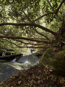
Rap #3 ring bolts down low DCR wall 90’ hidden under Rododendron branches out of watercourse Be careful not to stick a rope here in the start of “The Alley”
Rap #4 ring bolts DCR wall 100’ to a butt slide
Rap # 5 Immediate DCR Bolts 90’ butt slide 15 ft to walk DC creek walk a few minutes
Rap # 6 slanted rappel ghosted or slung tree DCR just out of water course 40’
Rap #7 40’ Walk 20’ webbing anchor off tree above watercourse
Exit[edit]
Once done with rappel #7 continue downstream either butt slide and/or creek walk out .1 to the exit then hang a left hike .6 to near the bridge and cross Nantahala to HWY 19 and car.
Red tape[edit]
Once across the Nantahala, please stay off tracks on other side of river due to private property considerations
Beta sites[edit]
https://waterdata.usgs.gov/monitoring-location/USGS-03505550/
Trip reports and media[edit]
Background[edit]
Seriously consider how you approach the Nantahala River, as water is released mid-morning for the rafting companies and even then it treacherous to cross or have other alternatives such as canoe, pack raft or walking.
