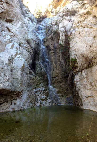
Vogel Canyon (Left Fork)
| Rating: | |||||||||||||||||||||||||||||||
|---|---|---|---|---|---|---|---|---|---|---|---|---|---|---|---|---|---|---|---|---|---|---|---|---|---|---|---|---|---|---|---|
| | Difficulty:3B IV (v3a2 IV) Raps:7, max ↨145ft
Red Tape:No permit required Shuttle:None | ||||||||||||||||||||||||||||||
| Location: | |||||||||||||||||||||||||||||||
| Condition Reports: | 15 Sep 2024
"Smooth sailing down to R1 but encountered extreme bushwhacking with sticker bushes between R1 and R6 (special challenges). R5 and R6 were very beautif |
||||||||||||||||||||||||||||||
| Best season: | Oct-April
|
||||||||||||||||||||||||||||||
| Regions: | |||||||||||||||||||||||||||||||
Introduction[edit]
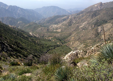
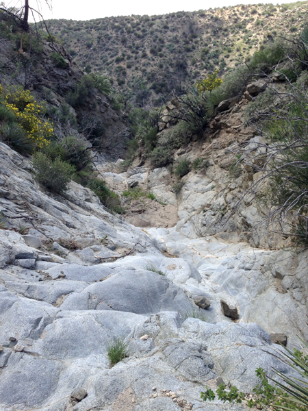
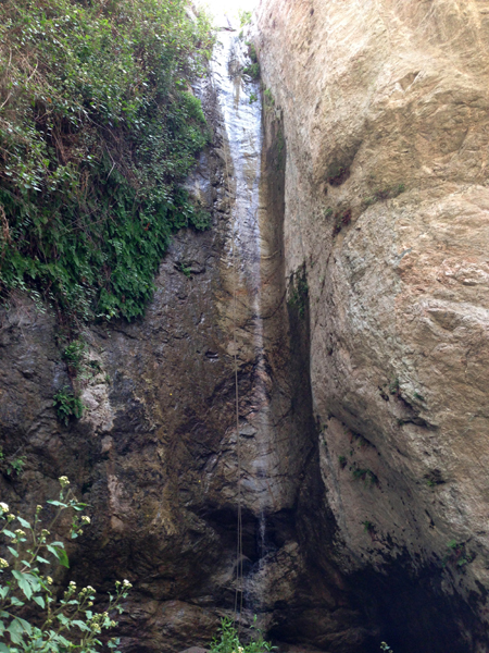
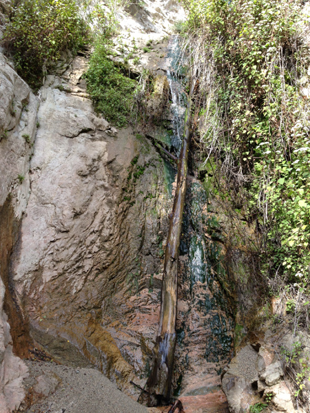
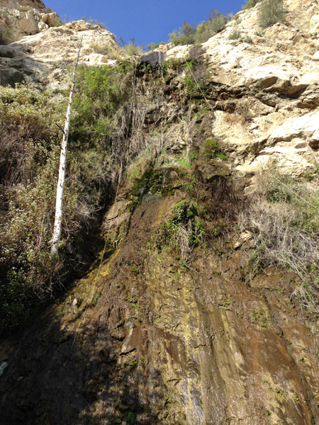
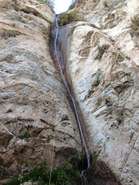
A really pretty canyon in an infrequently explored area of the Big Tujunga. The price is high to run this one; long approach hike, long stretches of down-climbing, some unpleasant bushwhacking, avoidable PO. The middle technical section makes it all worth it, several unique and beautiful waterfalls. Much of the technical section is serpentine and slotty.
Approach[edit]
Park your car on the south side of Big Tujunga Road here: 34.2875, -118.2250 Look for seven 4' tall rusted metal pylons (debris flow moderator) on the north side of the road, the Condor Peak trail starts here. You will be hiking the Condor Peak Trail for about 4.6 miles, (2.5-3.0 hours) until you arrive at the south side of Fox Peak. Here you will drop-in to the Left Fork of Vogel anywhere in the vicinity of 34.31261, -118.19994.
Descent[edit]
The drop-in can be steep in places, but easily 'down-climbable' for most.
R1--30'
R2--65'
R3--30'
R4--25'
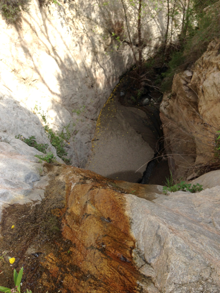
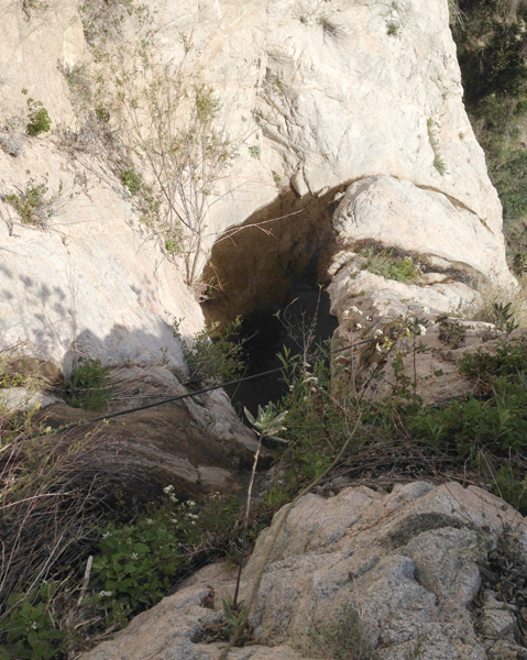
R5--145' Approx 25' down to a deep hanging pothole, which can be carefully avoided on DCR, then a dogleg to the right for the final 120'
R6--115'
R7--50'
Exit[edit]
After R7 follow the stream back to Big Tujunga Road, turn left/east to get back to your vehicle.
