Vogel Canyon (Sunyata Fork)
| Rating: | |||||||||||||||||||||||||||||||
|---|---|---|---|---|---|---|---|---|---|---|---|---|---|---|---|---|---|---|---|---|---|---|---|---|---|---|---|---|---|---|---|
| | Difficulty:3B III (v3a2 III) Raps:5-8, max ↨50ft
Red Tape:No permit required Shuttle:None | ||||||||||||||||||||||||||||||
| Location: | |||||||||||||||||||||||||||||||
| Condition Reports: | 10 Jul 2022
"1:00 approach on a warm morning with temperatures climbing to the low 90s. Upper reaches of Sunyata were nontechnical and bushwhacky with none of the |
||||||||||||||||||||||||||||||
| Best season: | oct-may
|
||||||||||||||||||||||||||||||
| Regions: | |||||||||||||||||||||||||||||||
Introduction[edit]
A lonely canyoning zone in the Big Tujunga region of the San Gabriel Mtns.
Approach[edit]
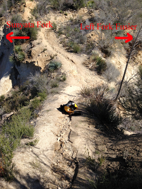
Park your car on the south side of Big Tujunga Road here: 34.2875, -118.2250 Look for a six 4' tall rusted metal pylons (debris flow moderator) on the north side of the road, the Condor Peak trail starts here. Hike the trail for approximately 1 hour until you reach a saddle at 34.2979, -118.2132 drop-in here. This is the same saddle to access Fusier Canyon-left fork. Fusier Canyon (Left Fork)
Condor Peak Trail drop-in saddle:
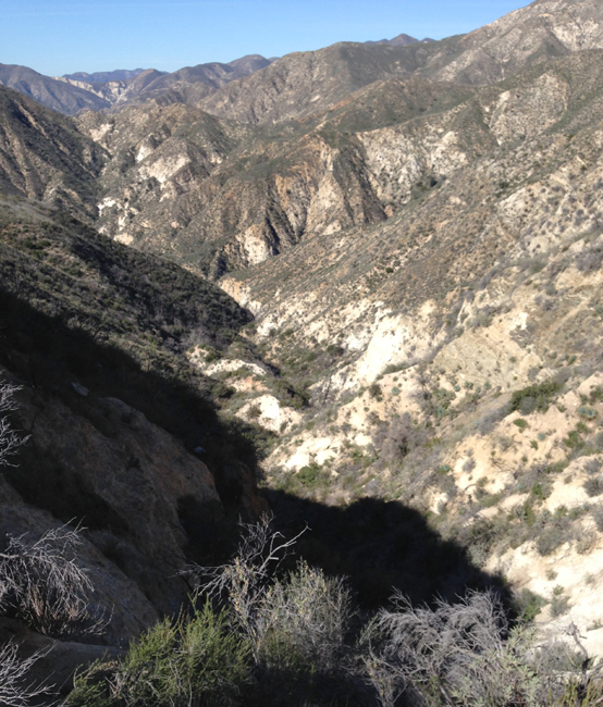
View from drop-in, looking down Sunyata Fork:
Descent[edit]
Initially a steep drop-in with several non-mandatory raps in the 10-20' range.
R1--10' R2--25' R3--20' R4--20' R5--50'
Enter Vogel Canyon R1--50'
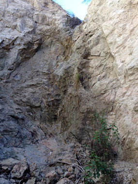
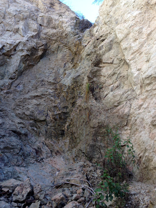
R5 Sunyata Fork:
Exit[edit]
After the only rappel you will encounter in Vogel Canyon, continue downstream until Big Tujunga Canyon Road, cross it to the south side and walk a short distance east to your vehicle.
Red tape[edit]
Beta sites[edit]
Trip reports and media[edit]
Background[edit]
First canyoneering descent 3/29/2015 by Jane Fontana, Mark Fitzsimmons, Sonny and Calius Lawrence, others. Large pot grow infrastructure present at that time, but looked abandoned. Removed some tools and other litter.


