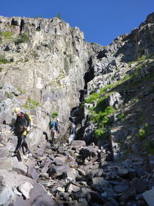
Arrastra Creek
| Rating: | |||||||||||||||||||||||||||||||
|---|---|---|---|---|---|---|---|---|---|---|---|---|---|---|---|---|---|---|---|---|---|---|---|---|---|---|---|---|---|---|---|
| | Raps:5-6, max ↨200ft
Red Tape:No permit required Shuttle:None Vehicle:4WD | ||||||||||||||||||||||||||||||
| Location: | |||||||||||||||||||||||||||||||
| Condition Reports: | |||||||||||||||||||||||||||||||
| Best season: | Aug-Oct
|
||||||||||||||||||||||||||||||
| Regions: | |||||||||||||||||||||||||||||||
Introduction[edit]
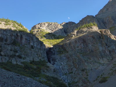
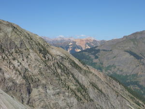
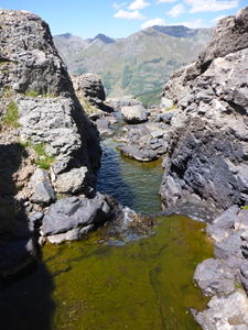
A fun high alpine canyon with amazing views. Before dropping in to the watercourse, be sure to hike a couple hundred meters further to see the immensely beautiful, placid Silver Lake nestled amongst these high peaks. Surrounding the lake you will find yourself in an untouched piece of American history amongst tons of mining relics and a rare view of the real American west. Leave this history preserved and take only photos.
Approach[edit]
Follow Country Road 2 East out of Silverton along the Animas River. Turn South on County Road 52 shortly out of town and cross the Animas River. There are several campsite locations along this road. Follow the road left when it forks slightly and take the hard 90 deg left at the top of a hill, then go right at the next intersection. Follow this road until it switchbacks sharply to go up toward Arrastra and Silver Lake. Park here. Driving up higher doesn't help for Woodchuck Creek and complicates turning around.
Follow the switchback to the East. While the first section looks easily drivable, it's better to hike it. In 2014, there was a rock too big to move in the middle of the road higher up and you'll have your car nearly at the bottom of the final rappel sequence in this location.
From the top of the switchbacks, continue past what would be the last parking lot for 4x4 vehicles, walk over the rusted mining equipment and locate the trail switchbacks that follow. If you go too early in the season there is a snowpatch that may be treacherous with an unfavorable runout. The rest of the trail is well traveled including fixed lines to work your way through a cliff band.
Descent[edit]
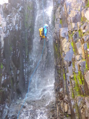
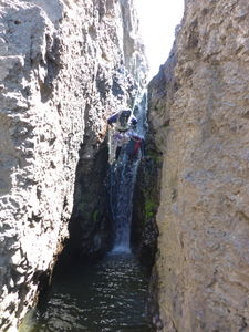
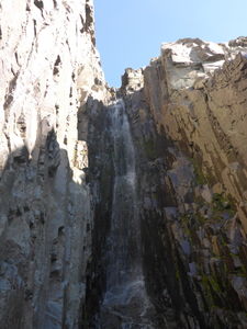
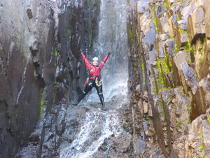
Beware of stuck ropes on several long rappels. Suggestion: ensure your joining knot is past the first lip.
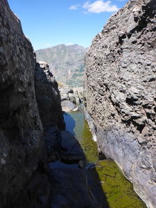
This canyon bottlenecks. Suggestion: group sizes of ~6 or less are advised.
Exit[edit]
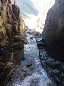
Downclimb the last few obstacles and stream walk 5 minutes back to your car.
Red tape[edit]
Beta sites[edit]
Trip reports and media[edit]
July 25, 2014 First half descended, Ira Lewis and Chris Hood
Sept 1, 2014 First full descent, Ira Lewis, Logan DeGrand, Pat Dunlap, Steve Abercrombie, Laura Mitchell, Sarah Doelger and Diane Thompson
July 4, 2015 Too early in the season to descend.
