Bilk Creek
| Rating: | |||||||||||||||||||||||||||||||
|---|---|---|---|---|---|---|---|---|---|---|---|---|---|---|---|---|---|---|---|---|---|---|---|---|---|---|---|---|---|---|---|
| | Raps:6, max ↨150ft
Red Tape:No permit required Shuttle:None Vehicle:Passenger Rock type:Shale, Limestone | ||||||||||||||||||||||||||||||
| Location: | |||||||||||||||||||||||||||||||
| Condition Reports: | 1 Sep 2024
"Felt like R2 was closer to 80 and not 65. Good canyon although most raps were set out of the flow. |
||||||||||||||||||||||||||||||
| Best season: | Jul-Sep
|
||||||||||||||||||||||||||||||
| Regions: | |||||||||||||||||||||||||||||||
Introduction[edit]
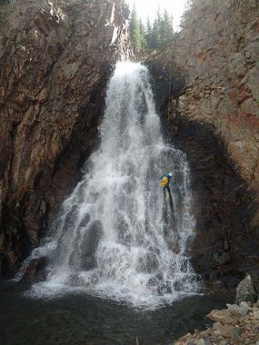
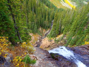
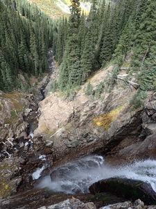
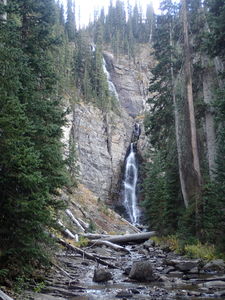
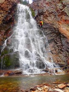
6 good rappels including 2-stages down the 220+ foot Upper Falls make a noteworthy destination close to Telluride shared with ice climbers in winter.
Approach[edit]
The dirt road was well-graded in 2018. A carefully driven passenger car could likely negotiate a few deeper ruts and puddles. High clearance 2WD would be preferred at minimum. Park at the Wilson Mesa Trailhead. Several groups were camped at the trailhead. No facilities.
From the Wilson Mesa Trailhead, hike west on the Mesa Trail. The Mesa Trail is open to ATVs, dirt bikes, horses, and mountain bikes.
Soon the Mesa Trail splits to the right. Continue Left on the MorningStar Trail, where only hikers, mountain bikes, and horses are allowed to continue for the next portion of the trail.
These trails follow an old railroad grade and are quite easy, wide, and flat.
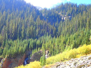
As the MorningStar trail nears Bilk Creek, additional cascades can be heard downhill to the right.
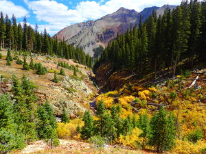
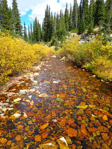
Cross Bilk Creek at a large talus field (canyon right). An old mining structure will be visible on canyon left. Gauge the water level here. Photos are currently from 2018, which was a drought year with low snow pack. Rappel anchors in Bilk Creek are set to avoid the notches that contain all the flow, such as R4.
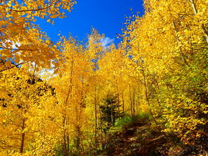
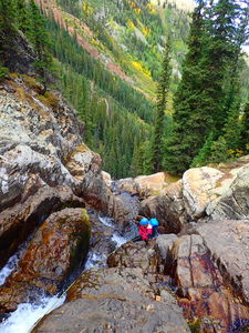
Continue on the Lizard Head Trail upstream on canyon left. Shortly after a well-established backcountry campsite, begin switchbacking uphill initially through aspen groves. One switchback gets quite close to Bilk Creek at R5, a low-angle rappel suggested off a tree on canyon right. Continue uphill for several more switchbacks, a few of which seem to take you too far in the wrong direction, but on turning back toward the headwall give better views of R2 & R3 of the Upper Falls.
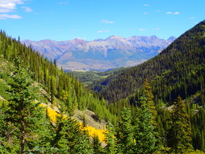
Continue on the Lizard Head Trail eventually paralleling an unnamed tributary which will come in on your left. Depart the trail when a crossing of the tributary seems easiest. The GPS track heads South from the trail when the Lizard Head Trail is East-West and takes advantage of a low prow and an easy gully on the far side. Hike across the tributary and follow game trails over the saddle to the east targeting Bilk Creek. Stay in the forest as possible to avoid the marsh above the canyon.
Approach: 4.6miles +1940'
Descent[edit]
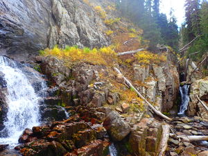
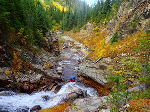
Upon entering the creek, most of the upper section can be down climbed. However webbing on large log protects the straight through the falls descent over the slippery limestone.
R1: 100' off log in canyon center
Get off rappel in the pool before the large Upper Falls and carefully down climb the slope to a tree canyon left
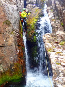
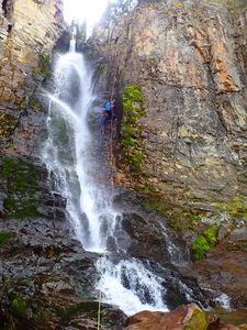
R2: 65' Tree CL =Stage 1 of 2 for the Upper Bilk Creek Falls. Rappel down slabs to another tree on canyon left.
R3: 150' Tree CL =Stage 2 of 2 for the Upper Bilk Creek Falls. (135' to a shelf that could be down climbed)
At the bottom of the Upper Bilk Creek Falls is the confluence with the unnamed tributary crossed earlier on the approach.
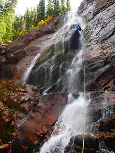
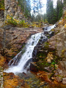
R4: 140' Tree CL
Shortly after R4 a cairn notes a possible exit trail on canyon left, but continue down stream for two more rappels.
R5: 50' low angle from Tree CR. Suggested use of a releasable anchor due to the visibility of the obvious anchor tree from a switchback on the approach.
A bit more stream walking takes you to the final rappel.
R6: 80' Tree CL. The rock is quite chossy and unstable in this final layer. Have the first person clean the route if possible. Beware of rope placement and resulting rock fall.
Exit[edit]
After R6, bushwhack 500ft through the willows veering left to regain the approach trail as soon as possible. From this point, retrace your steps back 2.3 miles to your vehicle along the flat trail.
Red tape[edit]
Beta sites[edit]
Bilk Creek Ice Climbing information:
https://www.mountainproject.com/route/114055038/bilk-creek-falls
This article notes climbing R2&R3 as the Upper Falls (WI4) and R4 as the Lower Falls (WI3)
Trip reports and media[edit]
Sept 2018: photos and kml track added, beta populated by Ira Lewis and Lisa Purdy. 2018 was a drought year with lower water flow.
Explored as a canyon descent by Logan DeGrand and Andrew Humphreys
