Blaine Basin Gorge
| Rating: | |||||||||||||||||||||||||||||||
|---|---|---|---|---|---|---|---|---|---|---|---|---|---|---|---|---|---|---|---|---|---|---|---|---|---|---|---|---|---|---|---|
| | Raps:4, max ↨110ft
Red Tape:No permit required Shuttle:None Vehicle:High Clearance Rock type:Sandstone | ||||||||||||||||||||||||||||||
| Start: | |||||||||||||||||||||||||||||||
| Parking: | |||||||||||||||||||||||||||||||
| Condition Reports: | |||||||||||||||||||||||||||||||
| Best season: | Jul-Sep, BEST Aug-Sep
|
||||||||||||||||||||||||||||||
| Regions: | |||||||||||||||||||||||||||||||
Introduction[edit]
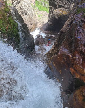
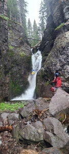
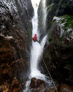
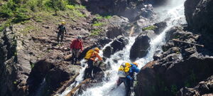
Wilson Creek cuts a deep slot through a similar sandstone layer as canyons found in nearby Ouray. Wilson Creek holds more water flow than nearby canyons, but the flow is broken up in this wide cut full of large boulders.
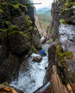
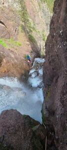
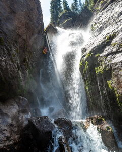
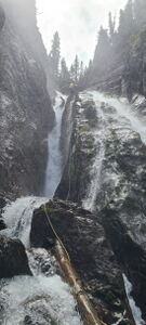
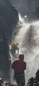
The attraction to Blaine Basin Gorge is the back to back rappels through bigger but manageable flow with a good trail for access.
Note that Wilson Creek is incorrectly drawn on all the topo maps.
Approach[edit]
Drive: West out of Ridgway and turn South on County Road 7 for 8.9 miles and Park at the Blue Lakes Trailhead.
If planning this canyon on a weekend, arrive very early as the popularity of the Blue Lakes hike fills this parking lot quickly.
Hike: the Dallas Trail 2.3 miles to a trail junction to continue up to Blain Basin. When the trail encounters Wilson Creek at the top, depart it and head North on the East side of Wilson Creek to the start of the canyon.
Descent[edit]
While walking downstream on the right side of Wilson Creek, which is incorrectly drawn on all topo maps, the first several small cascades can be skipped.
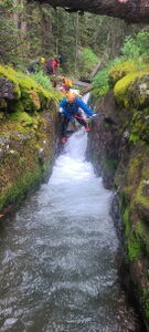
Start the canyon by downclimbing into a short fast moving chute.
R1: 40' from a tree DCR
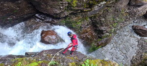
R2: 70' from bolts DCR
A rabbit hole between the boulders near the anchor may be possible to rappel through
R3: 110' from bolts DCL
R4: 110' from bolts DCR
Exit[edit]
Cross the watercourse to the left side and proceed down a talus slope into the forest below. When the slope flattens out, cross the watercourse to the right and a trail leads shortly back to the approach trail. Follow this back to the parking lot.
Red tape[edit]
Beta sites[edit]
Ice Climb: https://www.mountainproject.com/route/125436123/blaine-falls
Trip reports and media[edit]
2024-07-26 first known summer descent by Ira Lewis, Wayne Herrick, Andrew Tanasescu, Carl Bern, Ben Smith, Dawson Furner
