Buttermilk Creek
| Rating: | |||||||||||||||||||||||||||||||
|---|---|---|---|---|---|---|---|---|---|---|---|---|---|---|---|---|---|---|---|---|---|---|---|---|---|---|---|---|---|---|---|
| | Difficulty:POI 1A I (v1a1 I) Raps:
Red Tape: Shuttle:Optional Vehicle:Passenger Rock type:Shale | ||||||||||||||||||||||||||||||
| Start: | |||||||||||||||||||||||||||||||
| Parking: | |||||||||||||||||||||||||||||||
| Shuttle: | |||||||||||||||||||||||||||||||
| Condition Reports: | |||||||||||||||||||||||||||||||
| Best season: | all year
|
||||||||||||||||||||||||||||||
| Regions: | |||||||||||||||||||||||||||||||
Introduction[edit]
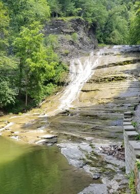
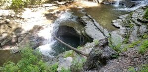
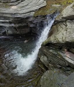
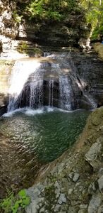
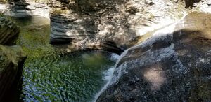
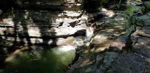
Buttermilk Falls State Park was established to protect the several falls in Buttermilk Creek. Like Watkins Glen, a great hiking path has been built to admire the falls carving through more of the Finger Lakes shale layer. Buttermilk does not have as deep a gorge or have as large or steep waterfalls as Watkins Glen.
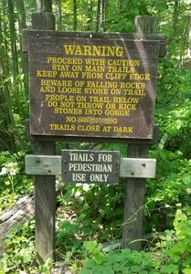
Canyoning is not allowed
Canyoning is off limits like the other nearby New York State Parks, however there are a few designated areas in Buttermilk Creek where swimming is allowed.
Hiking the Gorge Trail bottom up[edit]
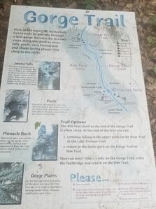
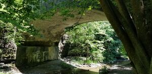
From the lower parking area, hike up the Gorge Trail, which starts up canyon right next to the 126' Buttermilk Falls in two drops. Cross a bridge at the top and return downhill via the Rim Trail.
An Upper Parking location is also available at (42.40949, -76.51228).
Red tape[edit]
Beta sites[edit]
New York Parks: Buttermilk Falls State Park
Trip reports and media[edit]
Photos and kml map added from a 2021 trip
