Cañon El Zarco
| Rating: | |||||||||||||||||||||||||||||||
|---|---|---|---|---|---|---|---|---|---|---|---|---|---|---|---|---|---|---|---|---|---|---|---|---|---|---|---|---|---|---|---|
| | Difficulty:3A I (v3a2 II) Raps:2, max ↨82ft
Red Tape:No permit required Shuttle:None Vehicle:Passenger Rock type:Riolite | ||||||||||||||||||||||||||||||
| Location: | |||||||||||||||||||||||||||||||
| Condition Reports: | |||||||||||||||||||||||||||||||
| Best season: | Jun-Oct
|
||||||||||||||||||||||||||||||
| Regions: | |||||||||||||||||||||||||||||||
Introduction[edit]
This short and easy canyon is nice to do during the rainy season when the other canyons have too high of a flood risk.
Approach[edit]
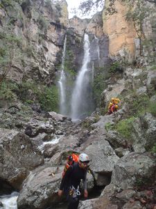
Take the highway north out of Guadlajara towards Tesistan, and continue on towards the town of Huaxtla. Just before the arroyo that is the main entrance into the Huaxtla canyon park on the right side of the road. Hike up from the parking area to the top of the ridge and over the mesa at top before dropping down into the arroyo. One can hike the whole arroyo, but most just drop in midway down, just below a 15m downclimb, and 150m above the first rapel.
Descent[edit]
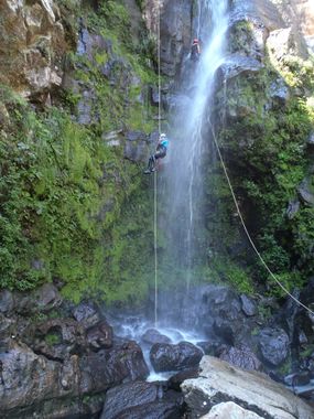
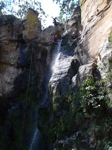
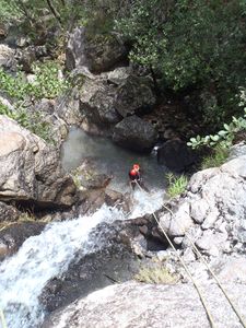
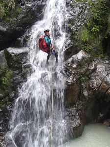
apart from the optional 15m down climb there is just 2 rappels. R1 of 25m, which is easy to climb back up and repeat, and R2, a ramp of 15m rigged off a tree.
Exit[edit]
Continue down the same arroyo, almost back to the road, then cut across the arroyo and follow a trail through the trees that goes right back to the parking area.
Red tape[edit]
Beta sites[edit]
 JaliscoVertical.Weebly.com : EL ZARCO
 Cañonismo.com : El Zarco
Trip reports and media[edit]
Background[edit]
this canyon was first descended around 2009 by Luis Medina, Manuel Gomez and others, only rigging 2 poorly placed bolts on the first rappel. Two sets of new bolts were added in Sept 2013 by Jalisco Vertical to avoid a rub point and provide 2 nice hangs right in the main water flows.
