Cañon Los Azules
| Rating: | |||||||||||||||||||||||||||||||
|---|---|---|---|---|---|---|---|---|---|---|---|---|---|---|---|---|---|---|---|---|---|---|---|---|---|---|---|---|---|---|---|
| | Difficulty:3B II (v3a2 II) Raps:5, max ↨230ft
Red Tape: Shuttle:None Vehicle:Passenger Rock type:Basalt | ||||||||||||||||||||||||||||||
| Location: | |||||||||||||||||||||||||||||||
| Condition Reports: | |||||||||||||||||||||||||||||||
| Best season: | Anytime
|
||||||||||||||||||||||||||||||
| Regions: | |||||||||||||||||||||||||||||||
Introduction[edit]
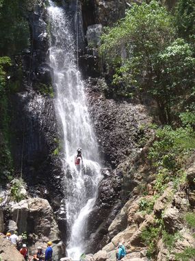
This is a short canyon with spring fed waters that run all year round and is just north of the town of Tequila. The approach hike is through fields of blue agave (from which Tequila comes from) before dropping over the edge of large Rio Santiago canyon and into tropical vegetation. The pools below each cascade are popular swimming holes for local people.
Approach[edit]
From Guadalajara, take the highway to the town of Tequila, and continue thru town until getting to the pedestrian bridge across the highway, next to a Farmacias Guadalajara. Turn right in front of the Farmacia and go 3 blocks, to a right turn, 1 block later turn left, and follow that road 880m to the last houses and park on the side of the road. continue walking on the same road another 880m til crossing a small dry arroyo, which is the Los Azules arroyo. One can enter here and drop the first rappel, but it is Not recommended due to loose rocks.
Descent[edit]
Follow the hiking trail over the edge of the canyon (it is paved cobblestones in the first part) and take a thin track to the left just after the cobblestones end. It is very steep and drops to the arroyo just above the 2 rappel.
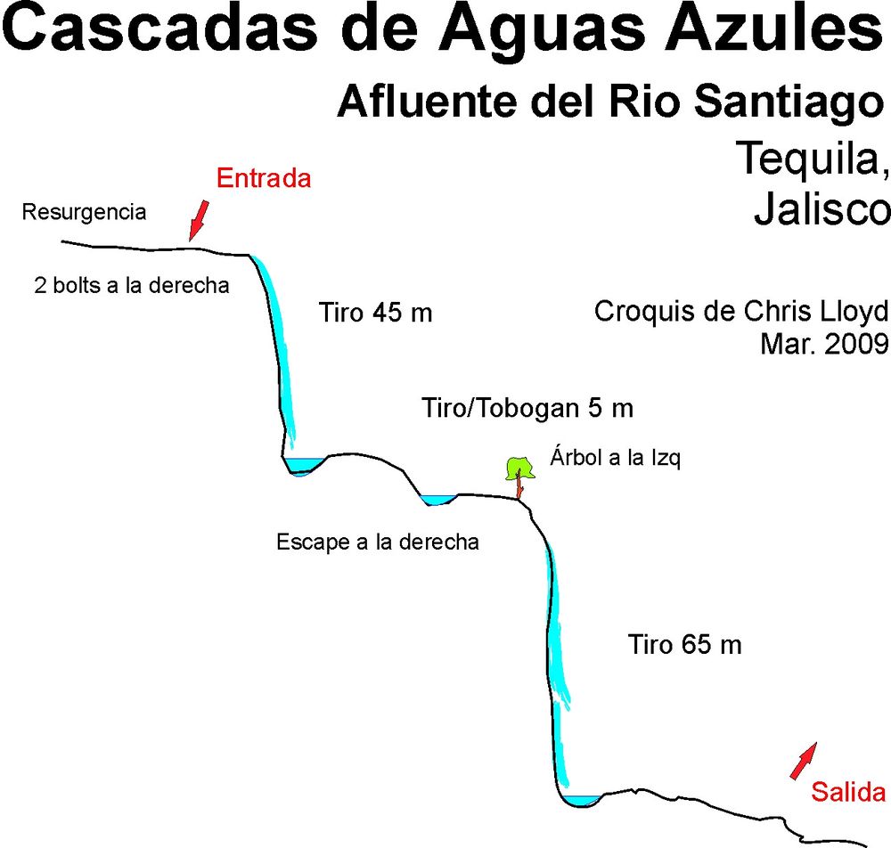
R1 - 50m – 2 bolts l.(Note it is Not recommended to do the 1st rappel due to loose rocks);
S1 2m - jump;
R2 - 45m - 2 bolts r. & 2 bolts l.;
R3 – 6m – 1 bolt r. – this is a ramp, and can be climbed around on the left.;
R4 - 6m - 1 bolt – can by-pass this on the left,
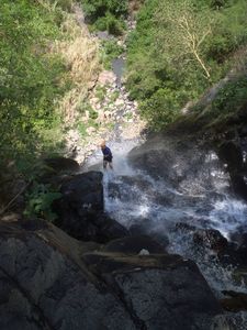
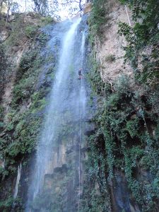
R5 - 70m – 3 bolts l. or use the large tree, but be very careful of rope rub on this long drop.
Exit[edit]
After the last rappel R5, walk downstream about 60m and then take the trail up on the right. Stay right on this trail as it climbs up through old coffee plants and mango tree. Eventually you come back to the same cobblestone section and continue back to the car.
Red tape[edit]
Beta sites[edit]
 Barranquismo.net : Aguas Azules
 JaliscoVertical.Weebly.com : LOS AZULES
Trip reports and media[edit]
Background[edit]
These cascade have been popular swimming holes for ages, and at least the 2nd rappel (1st one wet) was being rappelled back in the 1980's by scout groups and outdoors group. Bolts started appearing in the mid 2000's, and had to be replaced many times after being chopped by parties unknown, though that seems to have passed now.
