Cañon Santa Rosa
| Rating: | |||||||||||||||||||||||||||||||
|---|---|---|---|---|---|---|---|---|---|---|---|---|---|---|---|---|---|---|---|---|---|---|---|---|---|---|---|---|---|---|---|
| | Difficulty:3B III (v4a3 IV) Raps:16, max ↨177ft
Red Tape:No permit required Shuttle:Required 50 min Vehicle:Passenger Rock type:Lahar;Riolite | ||||||||||||||||||||||||||||||
| Location: | |||||||||||||||||||||||||||||||
| Condition Reports: | 26 Mar 2021
"Nice canyon with three scenic narrow parts. Be careful C50 is hard to pull (we went right hand of the river) We heard it’s better to go left hand of |
||||||||||||||||||||||||||||||
| Best season: | Anytime
|
||||||||||||||||||||||||||||||
| Regions: | |||||||||||||||||||||||||||||||
Introduction[edit]
This canyon is located in the Sierra de Quila, a protected cloud forest area about 2 hours south of Guadalajara. It has water all year round and can be done in the rainy season as the full forest cover blunts flooding. It is also popular as it has three distinct sections that can be done as separate / individual trips.
Approach[edit]
Take the main highway south out of Guadalajara, and take the route that goes to the town of Tecolotlan. From there take the cobblestone road that goes west up to the town of Quila for 4.3km to where you cross the lower part of the arroyo Santa Rosa. Three curves on the road higher, is the exit from the canyon and where to park the lower car. Continue another 10km uphill to a small right turn that leads 0.7km to the put in of the stream. Leave other car there.
Descent[edit]
r1 - 2m – can be passed on the right.
El Sistema Digestivo
R1 - 8m –tree r.
R2 - 6m -1 bolt for handline, 1 bolt for rappel, very narrow slot
R3 - 6m - 1 bolt r.
S1 - 4m - jump.
R4 - 25m – tree r.
R5 - 20m – 1 bolt l. and 2 bolts r.
R6 - 6m – 1 bolt l.
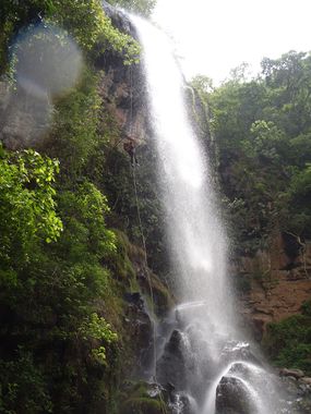
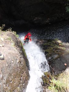
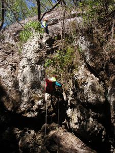
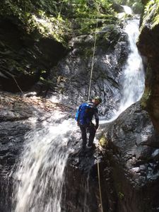
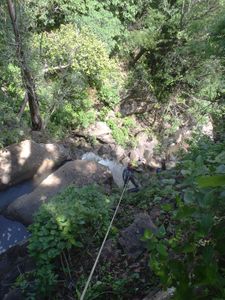
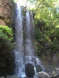
R7 - 53m – 2 bolts r. (Cascada de Santa Rosa)
R8 - 8m – tree (10m after cascade on the left.)
El Embudo
R9 -8m – 2 bolts r.
R10 - 7m – contine with same rope as R9.
R11 - 4m – continue with same rope as R9
R12 - 20m – 2 bolts in roof of cave
R13 - 4m – can be downclimbed or use tree
R14 - 5m – downclimb or use tree
Los Jejenes
R15 - 20m – tree r. (Cascada de Chanok)
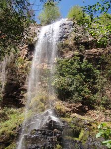
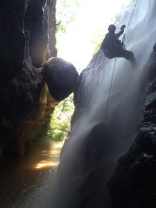
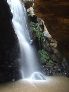
R16 - 40m – tree r. (Cascada de Vacas Volando)
Exit[edit]
After R16 climb over the big boulders and make your way to the right side of the arroyo and follow the edge downhill for about 750m, and then work your way across slope then uphill for 250m to get back o the road.
Red tape[edit]
Beta sites[edit]
 JaliscoVertical.Weebly.com : SANTA ROSA
Trip reports and media[edit]
Background[edit]
The exploration of this canyon was completed in April, 2005 by José Navarro, Manuel Gómez López, Pedro González, Agustín Lizárraga y Alejandro Bretón de CEM (Cañones en México A.C).
