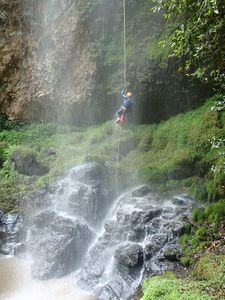
Cañon de la Campana
| Rating: | |||||||||||||||||||||||||||||||
|---|---|---|---|---|---|---|---|---|---|---|---|---|---|---|---|---|---|---|---|---|---|---|---|---|---|---|---|---|---|---|---|
| | Difficulty:3B III (v4a2 III) Raps:3, max ↨312ft
Red Tape: Shuttle:None Vehicle:Passenger Rock type:Riolite | ||||||||||||||||||||||||||||||
| Location: | |||||||||||||||||||||||||||||||
| Condition Reports: | |||||||||||||||||||||||||||||||
| Best season: | Anytime
|
||||||||||||||||||||||||||||||
| Regions: | |||||||||||||||||||||||||||||||
Introduction[edit]
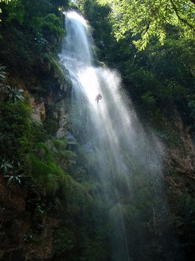
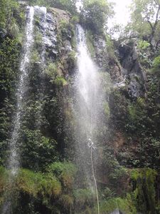
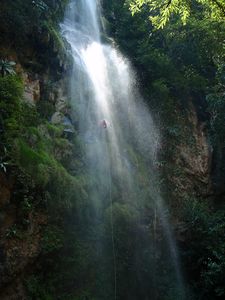
This canyon is located in a beautiful protected cloud forest in the Sierra de Quila about 2 hours south of Guadalajara and has water all year round and can be done in the rainy season as the full forest cover blunts flooding. The highlight of this canyon is the 95m high Cascada de Tecolotlan or known as El Salto de Tecolotlan.
Approach[edit]
Take the main highway south out of Guadalajara, and take the route that goes to the town of Tecolotlan. From there take the cobblestone road that goes west up to the town of Quila for 14.2km to a pull out on the left with sign showing El Salto de Tecolotlan. This is the view point for the third cascade, and where the exit walk returns to. The put-in is another 600m up the road on a small side road on the left where one can leave the car just before crossing the stream. Just follow the stream down to the first cascade.
Descent[edit]
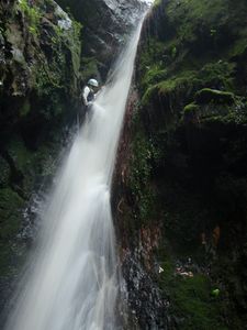
R1 - 38m – 2 bolts l.
R2 - 15m – tree l.
R3 - 95m -2 bolts r. (beware of rub points on this long rappel)
Exit[edit]
From the base of the third cascade, climb the slope on a trail directly across on the other slope of the valley. This leads straight up to the road, and just follow the road back around to where the car was left.
Red tape[edit]
Beta sites[edit]
 JaliscoVertical.Weebly.com : LA CAMPANA
 UK CanyonGuides.org : Cañón La Campana
Trip reports and media[edit]
Background[edit]
This canyon was first descended in 2007 during the III Reunion International de Cañonismo in Mexico using trees as anchors which created bushy descents and then bolted by Luis Medina, Pedro González, Agustin Lizarraga and Chanook shortly thereafter.
