Canyon Creek (San Juan Mountains)
| Rating: | |||||||||||||||||||||||||||||||
|---|---|---|---|---|---|---|---|---|---|---|---|---|---|---|---|---|---|---|---|---|---|---|---|---|---|---|---|---|---|---|---|
| | Raps:3-4, max ↨100ft
Red Tape:No permit required Shuttle:Optional 90min Vehicle:Passenger Rock type:Gneiss | ||||||||||||||||||||||||||||||
| Location: | |||||||||||||||||||||||||||||||
| Condition Reports: | 24 Jun 2025
"A really nice short run in a remote location. Definitely be prepared for a bit of hike on this one. The pool at the bottom of R1 had a current/swirl m |
||||||||||||||||||||||||||||||
| Best season: | Jul-Oct
|
||||||||||||||||||||||||||||||
| Regions: | |||||||||||||||||||||||||||||||
Introduction[edit]
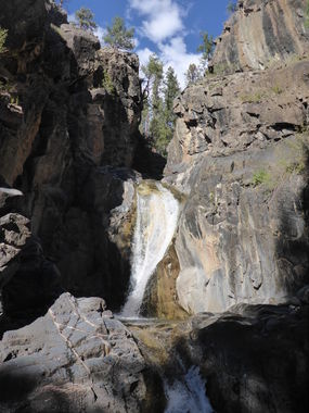
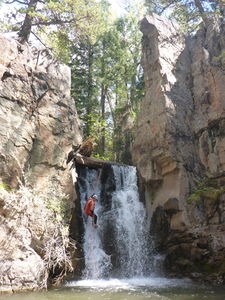
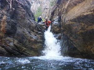
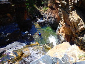
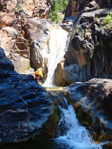
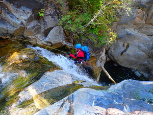
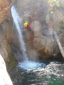
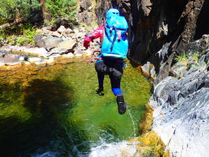
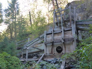
Canyon Creek is a fun aquatic series of 3 rappels in the San Juan National Forest with mining equipment at the bottom.
Approach[edit]
Advised: Park at Haviland Lake for an out and back crossing a bridge over the Animas River at the power station and hiking up the north side of Canyon Creek from the bottom. Due to the mining history in the lower section of the canyon, many trails and roads exist to get above the first jump and rappel.
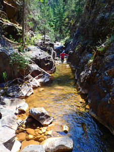
Not Advised: While a car shuttle is possible to drive to the top and stream hike down the entire 4mile Canyon Creek drainage from the road, this makes for a long day and the one nice 40ft rappel into a pool that would be gained is probably not worth the effort as it was located 2 hours into a 4 hour hike of otherwise unremarkable yet pretty stream hiking.
Note: The Durango/Silverton Narrow Gauge Railroad will drop people off in the wilderness: called a Short Stop. However, the train will only stop at Needleton, the entrance to Chicago Basin and Elk Park, the access point to the Colorado Trail. All of the depots on the map north of Rockwood (Tacoma, Tall Timbers, Midway...) are private and the train will not stop near Canyon, Tank or Grasshopper Creeks.
Descent[edit]
Exit[edit]
Walk trails and old roads a short distance to the bridge by the power plant and return by the same path to Haviland Lake.
Red tape[edit]
Beta sites[edit]
Trip reports and media[edit]
2008. explored by Matt Brejcha
2014-09-20. Ira Lewis, Leanne Thompson, AJ Pastula, and Stephen Arhart drove to the top of the creek, took hours descending the stream course to reach the best part of the canyon, which was only the last half mile of our four mile stream walk. An alternate approach from the bottom is strongly advised.
~2014. The trail from Haviland Lake to access Canyon Creek from the bottom was established.
2018-08-19. New kml track added from Haviland Lake. New photos uploaded by Ira Lewis and Lisa Purdy.
