Clear Creek Confluence Loop
| Rating: | |||||||||||||||||||||||||||||||
|---|---|---|---|---|---|---|---|---|---|---|---|---|---|---|---|---|---|---|---|---|---|---|---|---|---|---|---|---|---|---|---|
| | Raps:2, max ↨20ft
Red Tape:No permit required Shuttle:None Vehicle:Passenger Rock type:Rhyolite | ||||||||||||||||||||||||||||||
| Location: | |||||||||||||||||||||||||||||||
| Condition Reports: | |||||||||||||||||||||||||||||||
| Best season: | Jun-Oct
|
||||||||||||||||||||||||||||||
| Regions: | |||||||||||||||||||||||||||||||
Introduction[edit]
A novel canyoning loop at the confluence of North and South Clear Creeks.
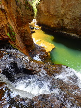
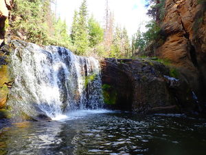
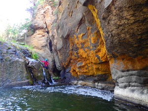
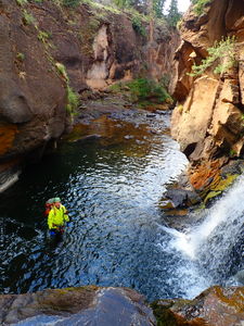
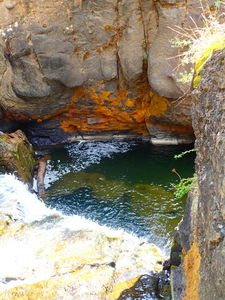
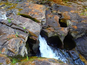
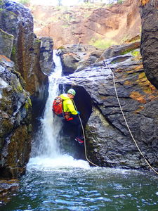
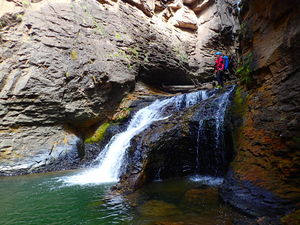
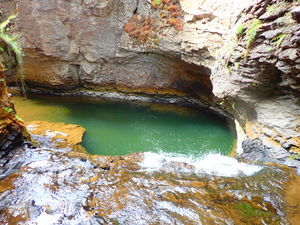
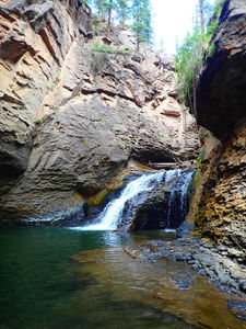
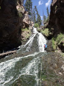
Descend North Clear Creek full of rhyolite potholes to a spectacular swimming hole then ascend the falls in South Clear Creek back to the trail.
This loop is close to the well known Colorado waterfall:
North Clear Creek Falls: http://ropewiki.com/North_Clear_Creek_Falls_(San_Juans)
and another good quick hike to
South Clear Creek Falls: http://ropewiki.com/South_Clear_Creek_Falls_(San_Juans)
Approach[edit]
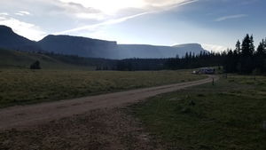
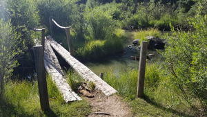
From the parking at the end of the Bristol Head campground ($17/night if you choose to stay), hike the well-marked trail to the falls starting by winding your way through the wooden fence. Cross a wooden bridge over South Clear Creek and take the trail fork to the right.
Fix at least a 100' rope to a pine tree near the edge of the top of South Clear Creek Falls and throw it past the second drop. It is possible to upclimb the lower part of the falls without a rope, however a 200' rope thrown will reach the very bottom if fixed at the top.
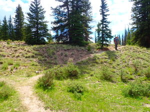
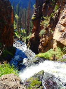
Return on the trail for a minute and continue to the right at the trail intersection (this would be left from the perspective of the approach). Follow this trail to peer into the waterfalls in North Clear Creek. Hike the trail until an easy access to the flat stream bed is available on the right.
Descent[edit]
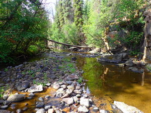
The initial flat stream bed makes for easy walking.
The first waterfall can be downclimbed on CL. It may be possible to jump, however this must be scouted as there is a shallow fin in the jump zone.
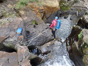
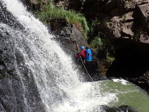
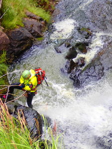
R1: 20', use 75' rope for the pull. Anchoring with a releasable off a large bridge between potholes CL of the waterflow is the seemingly the best anchor location, however this makes for a challenging awkward rappel over the lip in the flow belled out below. It may be possible to jump this drop, but this must be verified by someone first.
R2: 15' off a log on CL to negotiate large boulders in the canyon.
The final waterfall can be down climbed. Enjoy the potholes. It is most likely possible to jump this last pool, but should be checked first.
Continue downstream trending to the right.
Exit[edit]
Turn the corner at the confluence and climb up the South Fork of Clear Creek to the rope you threw. Ascend your fixed line past the last two vertical stages of this waterfall.
Return 15min back to the car.
Red tape[edit]
Beta sites[edit]
Trip reports and media[edit]
5Aug2018 - Initial exploration and photos by Ira Lewis and Lisa Purdy
