Coal Creek (Durango)
| Rating: | |||||||||||||||||||||||||||||||
|---|---|---|---|---|---|---|---|---|---|---|---|---|---|---|---|---|---|---|---|---|---|---|---|---|---|---|---|---|---|---|---|
| | Raps:1-4, max ↨100ft
Red Tape:No permit required Shuttle:Optional 5 min Vehicle:High Clearance Rock type:Siltstone | ||||||||||||||||||||||||||||||
| Location: | |||||||||||||||||||||||||||||||
| Condition Reports: | 14 Aug 2024
"Water level was higher than anticipated so we altered each rappel to skirt the main flow. A beautiful and easily accessed little route, very fun. |
||||||||||||||||||||||||||||||
| Best season: | May-Oct
|
||||||||||||||||||||||||||||||
| Regions: | |||||||||||||||||||||||||||||||
Introduction[edit]
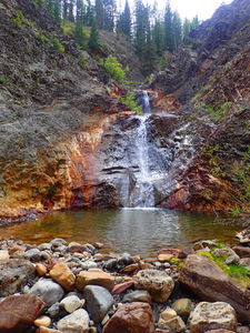
Upper Coal Creek provides a nice rappel close to the car, which is a good place for practice.
Lower Coal Creek has two interesting short rappels and ends at Lime Creek/Adrenaline Falls.
This is a good introductory canyon. Rocks are very very slippery. Recommend walking next to the creek whenever possible.
Approach[edit]
Drive south on the the Old Lime Creek Rd from the north intersection with Hwy550.
Park out of the way by the one lane bridge over Coal Creek.
Hike uphill on the north side of Coal Creek to gain a hundred feet of elevation or walk back toward a dirt road to lengthen the distance and reduce the grade.
Once above the small gorge reenter the creek.
Alternatively, it would be possible to car shuttle and put a car higher where the two track forking just north of the bridge intersects Coal Creek. This would offer a bit of boulder hopping in the stream.
Descent[edit]
Upper Coal Creek
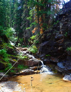
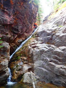
R0: 20ft. A contrived rappel that is easily bypassed in the forest DCL. The only value of adding this here would be to practice with newer canyoners on a series of blocky steps in the waterfall using nearby trees for fixed or releasable anchors.
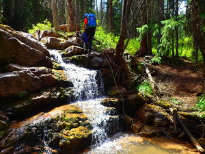
R1: 50ft angled waterfall, but requires a 90ft rope length if using a tree higher on a slope DCL.
A short narrow hallway and downclimb follow R2.
Pass the bridge and continue downstream.
Lower Coal Creek
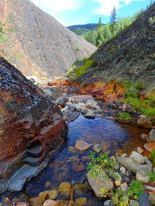
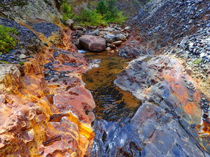
A bit of streamwalking leads to the two rappels in this lower section.
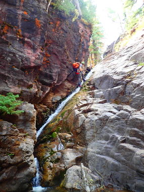
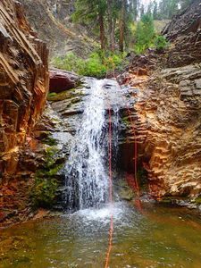
R2: 100ft over two tiers from a slung boulder DCR in the watercourse.
R2.5: 30ft from single bolt DCR.
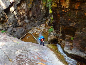
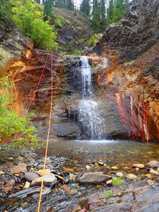
R3: 35ft from a tree Canyon Left for a 15 foot waterfall.
A short distance of streamwalking leads to a final downclimb by Adrenaline Falls.
Exit[edit]
Upper Coal Creek: Follow a short 30 second social trail before the bridge on the south side to return to Old Lime Creek Rd.
Lower Coal Creek: Follow the social trail exit on canyon right for Adrenaline Falls back up to the road.
Red tape[edit]
Beta sites[edit]
- Upper Coal Creek is described in Canyoning in the Colorado San Juan Mountains Book by Ira Lewis
Trip reports and media[edit]
Previously explored.
10Aug2018: Photos and ropewiki beta by Ira Lewis and Lisa Purdy.
