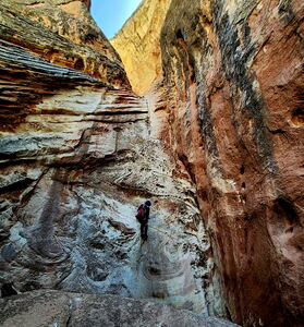
Cub Creek (Middle Fork)
| Rating: | |||||||||||||||||||||||||||||||
|---|---|---|---|---|---|---|---|---|---|---|---|---|---|---|---|---|---|---|---|---|---|---|---|---|---|---|---|---|---|---|---|
| | Difficulty:3B III (v3a2 III) Raps:4, max ↨90ft
Red Tape:No permit required Shuttle:None Vehicle:Passenger Rock type:Sandstone | ||||||||||||||||||||||||||||||
| Start: | |||||||||||||||||||||||||||||||
| Parking: | |||||||||||||||||||||||||||||||
| Condition Reports: | |||||||||||||||||||||||||||||||
| Best season: | Apr-Jun, Sep-Oct
|
||||||||||||||||||||||||||||||
| Regions: | |||||||||||||||||||||||||||||||
Introduction[edit]
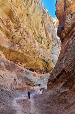
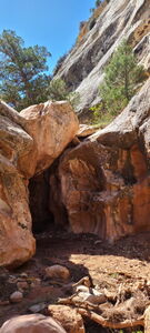
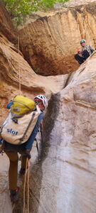
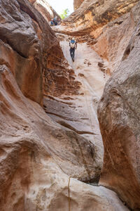
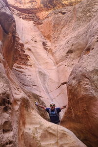
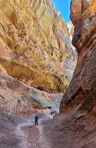
While the mileage seems long for Middle Cub Creek, the approach goes quickly following old trails and jeep roads, the in-canyon travel is easy on slickrock with a few downclimbs and problems to play with and the final sequence is memorable in a deep part of the canyon before it enters Daniel's Canyon/Cub Creek.
This is a good canyon for beginners with interesting, but moderate challenges.
Approach[edit]
Drive 9.75 miles East from the Dinosaur National Monument Quarry Visitor Center to the Josie Morris Cabin Trailhead Parking Lot on a paved and maintained dirt road.
Hike toward the Hog Spring Trail departing the parking lot to the East. At the fence line, depart the trail and continue off trail east referencing the GPS track and waypoints to navigate trails on the north side of Cub Creek exiting Dinosaur National Monument onto BLM land. Cross Cub Creek to the south at (40.42176, -109.15925), climb a hill and gain an old jeep road, which is the old Daniel's Trail seen on USGS maps. Continue tracking east to drop in at (40.42272, -109.12583) or the short fork just a bit further to the north.
Descent[edit]
DC
DC rabbit hole or bypass DCR
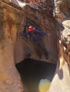
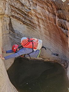
DC 15' with fun pothole stemming problem or bypass DCR. This shallow pothole follows a nice little slot section.
DC DCL
Possible escape back to approach trail DCL up gully
DC 20'
Possible escape back to approach trail DCL up gully
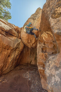
R1: 35' for a 20' drop from a tree DCL
DC 10'
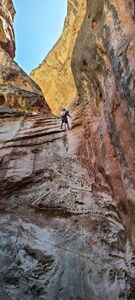
R2: 35' from a tree DCR
R3: 90' from bolts to rappel past shallow pothole or 70' then downclimb over and past the pothole
R4: 85' from bolts DCL
Exit[edit]
The canyon ends at the bottom of R4. Traveling downstream, the middle fork quickly joins the main fork of Cub Creek. Continue downstream and either avoid battling overgrowth in the drainage and regain the approach trail by hiking uphill to the south or push through the vegetation to the stream crossing, then follow the approach trail back to the car.
Red tape[edit]
Beta sites[edit]
Trip reports and media[edit]
Previously descended. Beta added after a May 2024 descent.
