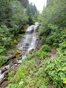
East Vail Falls
| Rating: | |||||||||||||||||||||||||||||||
|---|---|---|---|---|---|---|---|---|---|---|---|---|---|---|---|---|---|---|---|---|---|---|---|---|---|---|---|---|---|---|---|
| | Raps:3, max ↨110ft
Red Tape:No permit required Shuttle:None Vehicle:Passenger Rock type:Sandstone | ||||||||||||||||||||||||||||||
| Location: | |||||||||||||||||||||||||||||||
| Condition Reports: | |||||||||||||||||||||||||||||||
| Best season: | Jul-Sep
|
||||||||||||||||||||||||||||||
| Regions: | |||||||||||||||||||||||||||||||
Introduction[edit]
If driving west on I-70 from the Front Range for canyons, check the conditions at 70 mph coming down the pass on a Friday afternoon on the way to a weekend adventure and determine if stopping to descend this coming home on Sunday afternoon is better than waiting in summer return traffic.
For positives, this is short with a great pay-to-play ratio and has (3) reasonably worthwhile rappels.
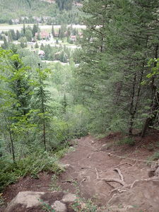
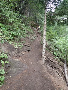
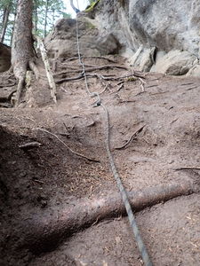
For negatives, the steep dirt approach trail to gain the top is eroded with heavy use. Strong rain would make this dirt scramble impassibly muddy. Knotted fixed lines are installed throughout: use at your own risk.
This is perhaps best known as an ice climb: https://www.mountainproject.com/route/105747461/east-vail-falls-aka-pitkin-creek-falls
This waterfall is a confirmed nesting site for the Black Swift, listed as a Species of Special Concern by the U.S. Forest Service and U.S. Fish and Wildlife Service. The swifts migrate from Brazil annually to occupy this site from late May until late September, raising a single chick. The swifts are susceptible to disturbance from human activities near their nests, including noise and movement, direct disturbance or destruction of their nests, and trampling of vegetation. Canyoneering/climbing at this waterfall during the Black Swift nesting season (late May - late September/first frost) is likely to cause direct damage to nests, eggs, and young, and disturb adult swifts enough to cause them to abandon their nest and offspring. Click here for more information on the Black Swift.
Approach[edit]
Park at the Gore Valley Trailhead parking lot, just southeast on Big Horn Road of the East Vail exit on I-70.
Walk across the street and cross Gore Creek on Bridge Road. Go left on Lupine Drive to the East Vail Falls Trailhead.
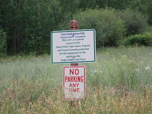
Parking is not allowed on Lupine Drive.
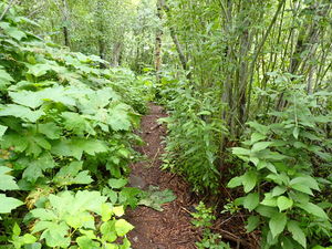
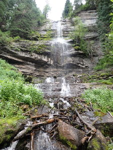
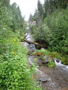
Proceed up the well worn trail across the short field into the forest and the base of the falls.
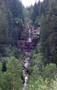
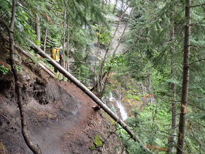
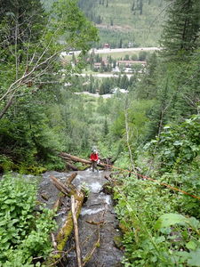
Cross the stream and begin uphill on rappeller's left of the falls. Most of the waterfalls will remain in sight during the scramble up.
Descent[edit]
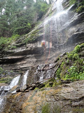
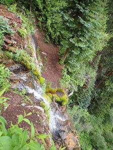
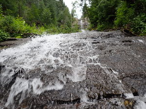
The trail connects directly to a channel of water that begins to tumble to a large ledge, then over the first rappel.
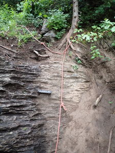
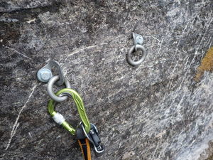
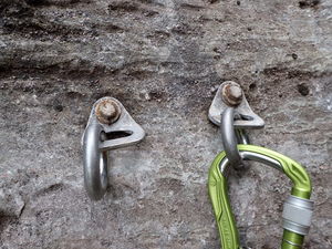
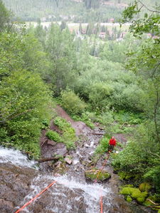
Bolt stations have been installed on both sides with fixed handlines to reach a decent walking platform. Approach the bolts by rigging a short rappel from above or by downclimbing depending on preference.
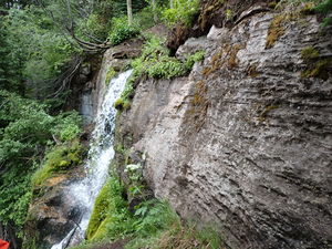
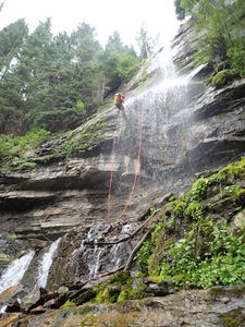
R1: 110' from newer bolts on Canyon Left. A walk off and escape back to the trail is available at 85' down from the anchor.
R2: 65' from a tree on Canyon Right over a few low angle benches.
Walk off here and downclimb a short ways or extend the rappel depending on conditions.
R3: 80' from a stand of willows on Canyon Left
Exit[edit]
From the bottom of the falls, return on the same trail back to the trailhead
Red tape[edit]
Beta sites[edit]
https://www.alltrails.com/trail/us/colorado/east-vail-falls
