Elder Spring (East Fork)
| Rating: | |||||||||||||||||||||||||||||||
|---|---|---|---|---|---|---|---|---|---|---|---|---|---|---|---|---|---|---|---|---|---|---|---|---|---|---|---|---|---|---|---|
| | Difficulty:3A III (v4a1 IV) Raps:3, max ↨125ft
Red Tape:No permit required Shuttle:Optional Vehicle:Passenger Rock type:Sandstone | ||||||||||||||||||||||||||||||
| Start: | |||||||||||||||||||||||||||||||
| Parking: | |||||||||||||||||||||||||||||||
| Condition Reports: | |||||||||||||||||||||||||||||||
| Best season: | May-Jun, Sep-Oct
|
||||||||||||||||||||||||||||||
| Regions: | |||||||||||||||||||||||||||||||
Introduction[edit]
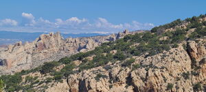
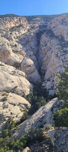
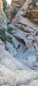
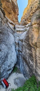
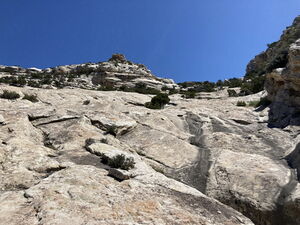
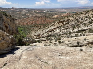
When comparing Elder Spring (East Fork) to its nearby neighbor Hog Canyon, Elder Spring (East Fork) has more shade on the approach, a few more slot-like downclimbs and more slickrock, which means less vegetation to bash through. The approach also felt easier, but maybe that was the shade.
- The season may be able to start sooner or end later than other DNM canyons based on the southern-facing aspect and the park maintenance of this lower elevation road.
Approach[edit]
DRIVE 9.25 miles East of the Dinosaur National Monument Quarry Visitor Center on CR 1550 / E Old Hwy 149 which is paved and maintained dirt just past a gate, where parking is available on the West side of the dirt road.
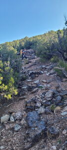
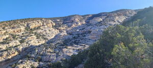
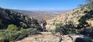
HIKE North on the road until the first curve to the East. At this point, go West and gain a cow trail to hike to the ridge East of Elder Spring Canyon. Ascend the ridge to a drop in point above the first rappel.
- Note: Elder Spring provides shade from juniper trees in early June mornings. If choosing between canyons on a hot day, Elder Spring with an early start would be a cooler option. More shade is provided in this deeper slot as well.
A CAR SHUTTLE option exists but is unverified as of this beta update. Skip the uphill hike and park on top of the Yampa Plateau by driving 20 miles up Blue Mountain Road / CO 1550.
Descent[edit]
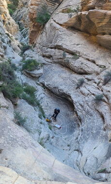
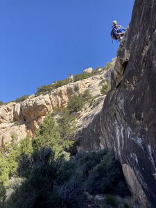
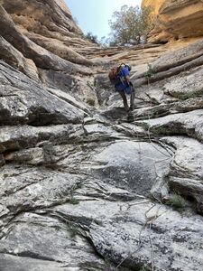
R1: 75' from a large tree - optional downclimb in a gully far Canyon Left
R2: 65' from a tree
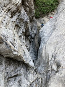
R3: 125' from a deadman anchor; strong downclimbers may wish to attempt this
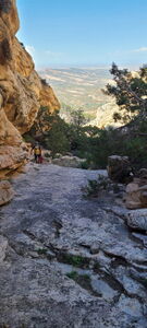
Several downclimbs and another downclimb on Canyon Left
The rest of the descent is a walk down sandstone for a half mile.
Exit[edit]
The sandstone ends at Elder Spring. Bash through the reeds and vegetation to find the cow trail just to the south. Walk back to the car.
Red tape[edit]
A National Park's pass or a Dinosaur National Monument entrance fee is required.
Beta sites[edit]
Trip reports and media[edit]
2017 https://www.summitpost.org/elder-spring-canyon/1007062
2023-06 photos and ropewiki entry
