Fourmile Creek (Pagosa Springs)
| Rating: | |||||||||||||||||||||||||||||||
|---|---|---|---|---|---|---|---|---|---|---|---|---|---|---|---|---|---|---|---|---|---|---|---|---|---|---|---|---|---|---|---|
| | Raps:2, max ↨275ft
Red Tape:No permit required Shuttle:None Vehicle:Passenger Rock type:Volcanic Conglomerates, Sandstone and Mudflow Breccia | ||||||||||||||||||||||||||||||
| Location: | |||||||||||||||||||||||||||||||
| Condition Reports: | 10 Jul 2024
"R1 was choked with logs but still a good warmup up rappel. We could not locate anchors for the big rappel. We built a small single loop anchor on the |
||||||||||||||||||||||||||||||
| Best season: | July-Sep
|
||||||||||||||||||||||||||||||
| Regions: | |||||||||||||||||||||||||||||||
Introduction[edit]
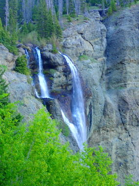
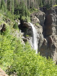
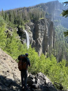
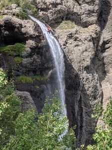
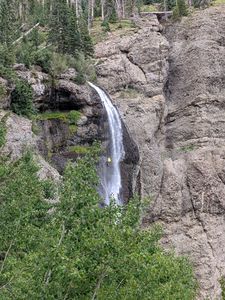
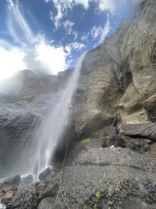
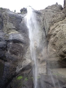
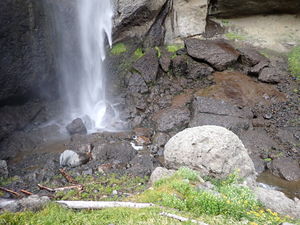
Hiking to Fourmile Creek Falls (275') and Falls Creek Falls (405') is a popular 3 mile out and back summer hike from the trailhead near Pagosa Springs. While a few more waterfalls are upstream, the prime rappelling attraction of Fourmile Creek is Fourmile Creek Falls. Many challenges come with big rappels such as this including not being able to see the rappeler from above and rigging appropriate friction for a smooth descent. Beware of sharp edges and cut ropes in the direct waterflow fall line of Fourmile Creek Falls.
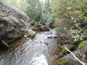
The approach is easy, but the creek downstream of the falls is choked with boulders and willows making the return to the trail a challenge.
This waterfall is a confirmed nesting site for the Black Swift, listed as a Species of Special Concern by the U.S. Forest Service and U.S. Fish and Wildlife Service. The swifts migrate from Brazil annually to occupy this site from late May until late September, raising a single chick. The swifts are susceptible to disturbance from human activities near their nests, including noise and movement, direct disturbance or destruction of their nests, and trampling of vegetation. Canyoneering/climbing at this waterfall during the Black Swift nesting season (late May - late September/first frost) is likely to cause direct damage to nests, eggs, and young, and disturb adult swifts enough to cause them to abandon their nest and offspring. Click here for more information on the Black Swift.
Approach[edit]
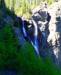
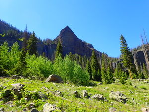
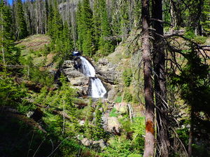
Hike the Fourmile Creek trail from the parking lot for 3.1 miles, passing the bottom of Falls Creek Falls, an overlook of Fourmile Creek Falls, and a view of the two-stage waterfall with pothole (R1 in Fourmile Creek). Enter Fourmile Creek beyond two trailside campsites to get above R1 or when R1 comes into view, take a social trail on the right to shortcut directly to the top of R2 (Fourmile Creek Falls).
Descent[edit]
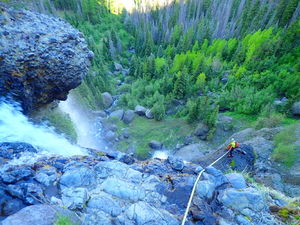
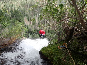
R1: 85' from a tree on Canyon Right into a two-stage rappel (R1) with a waist deep pothole.
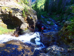
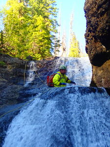
R2: 275' from a tree on Canyon Right of the main pouroff in the watercourse. A longer rope would be required in higher flow from a tree further back at the bottom of the social trail (further Canyon Right = Rappeller's Left of the main flow going over the larger ledge seen from the trail overlook).
The degree of vertical risk should not be underestimated. Know how to self rescue in the flow and manage core-shots to the rope while on rappel. Consider radios for communication.
Exit[edit]
Continue downstream for a short distance through some large conglomerate boulders in the stream course. The stream is preferable initially, but when the willows become a battle, aim uphill to the right (west) following game trails through the forest up the slope to regain the hiking trail.
Return to the trailhead parking lot on the same Fourmile Creek approach trail.
Red tape[edit]
Beta sites[edit]
Trip reports and media[edit]
June 2018: visited by Ira Lewis and Lisa Purdy Lewis
Aug 2021: descended by Ira Lewis and Mike Gulsvig, photos by Ira, Mike and Chris D'Amico
