Grasshopper Creek
| Rating: | |||||||||||||||||||||||||||||||
|---|---|---|---|---|---|---|---|---|---|---|---|---|---|---|---|---|---|---|---|---|---|---|---|---|---|---|---|---|---|---|---|
| | Raps:7, max ↨185ft
Red Tape:No permit required Shuttle:Required 120min Vehicle:4WD - High Clearance Rock type:Gneiss, Schist | ||||||||||||||||||||||||||||||
| Location: | |||||||||||||||||||||||||||||||
| Condition Reports: | |||||||||||||||||||||||||||||||
| Best season: | Jul-Oct
|
||||||||||||||||||||||||||||||
| Regions: | |||||||||||||||||||||||||||||||
Introduction[edit]
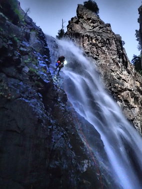
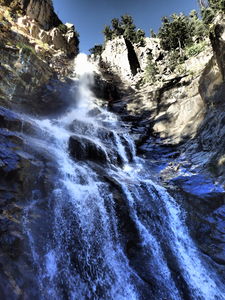
A wilderness big day in a narrow creek with big rappels. Lots of walking and rock-hopping involved.
Beta is a work in progress. A canyon topo and kml will be added shortly.
Approach[edit]
Drive as high as possible on Forest Service Road 682 (4WD HC required) until the road is blocked off for restoration. Hike to the saddle (~<45min) Descend into the south Grasshopper tributary (~8min)
Descent[edit]
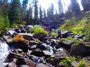
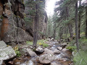
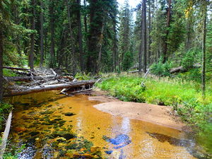
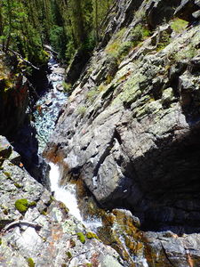
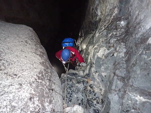
Starting from just below the saddle, descend the south tributary to the confluence with the north. Admire the narrow granite corridors and rock pile flowing water downclimbs. No ropes required.
It took us 4hrs to reach the top of the required technical section.
We bypassed two low-angle rappels higher up.
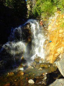
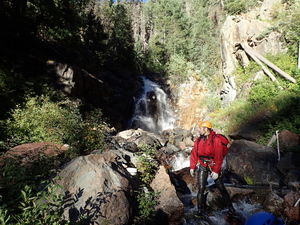
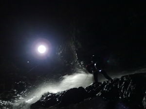
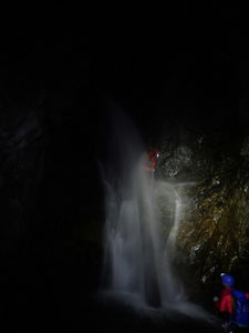
From the start of the technical section (wetsuits not required beforehand) to the train tracks at the bottom consumed 6hr45min.
Exit[edit]
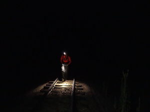
We exited north, walking the tracks from the bottom of Grasshopper to the Animas bridge (1.3 miles) and took the Purgatory Flats trial to the trail head East of the Purgatory Ski Resort (3.8 miles). This took us 4hrs at night.
Red tape[edit]
Beta sites[edit]
Trip reports and media[edit]
2016-09-04 Explored by Ira Lewis, Lisa Purdy, Wayne Burns, Kevin Manley, Chris D'Amico
