Hondo Creek
| Rating: | |||||||||||||||||||||||||||||||
|---|---|---|---|---|---|---|---|---|---|---|---|---|---|---|---|---|---|---|---|---|---|---|---|---|---|---|---|---|---|---|---|
| | Raps:5, max ↨110ft
Red Tape:No permit required Shuttle:None Vehicle:High Clearance Rock type:Volcanic Ash | ||||||||||||||||||||||||||||||
| Start: | |||||||||||||||||||||||||||||||
| Parking: | |||||||||||||||||||||||||||||||
| Condition Reports: | 8 Jul 2024
"A good canyon with a long approach and exit. Flow was a bit lower than the photos of the first descent, but still enjoyable. The canyon has some inter |
||||||||||||||||||||||||||||||
| Best season: | Jul-Sep
|
||||||||||||||||||||||||||||||
| Regions: | |||||||||||||||||||||||||||||||
Introduction[edit]
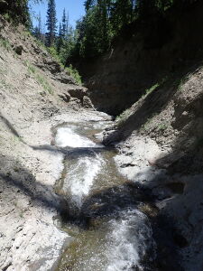
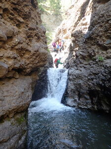
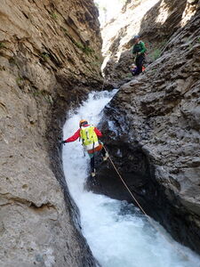
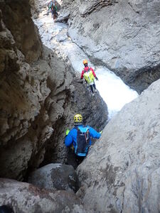
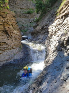
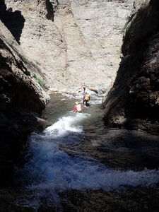
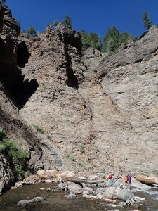
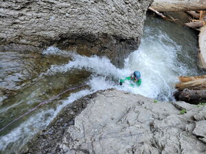
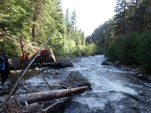
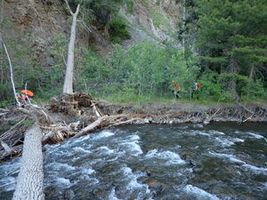
Hondo Creek's descent into the Rio Blanco exceeded expectations. Several nice rappels in a legit long section of narrows, just the right aquatic challenge and nice creek walking made for a pleasant day out.
Approach[edit]
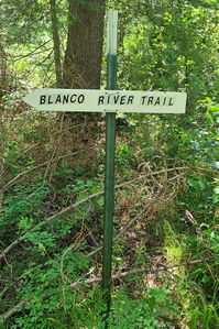
Drive south from Pagosa Springs on highway 84, turn East on CR 326 for 12.4 miles. Toward the end, when the road takes a 90 degree right heading due East, cross a bridge over a creek and take an immediate left into the forest on a bumpy 2-track into the National Forest land. Drive a half mile to the end of this road and park at the trailhead for the Blanco River Trail (573).
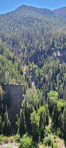
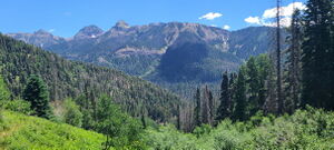
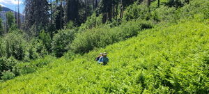
Hike the Blanco River Trail 4.3 miles to an elevation of 9550ft, then descend into the creek above the first rappel. Aiming to bushwhack off trail down a slight ridge (orange on the interactive map) may make the forest descent easier.
Alternatively, locate an obvious game trail 1/3 of a mile before the ridge on the right that drops into Hondo Creek at R3 (approximate location added to the kml).
Descent[edit]
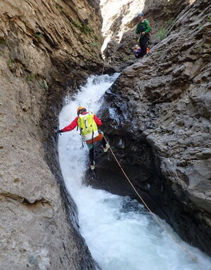
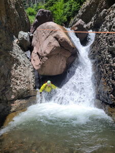
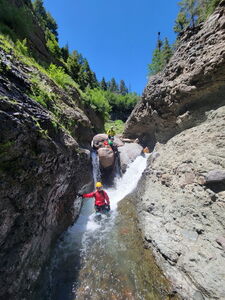
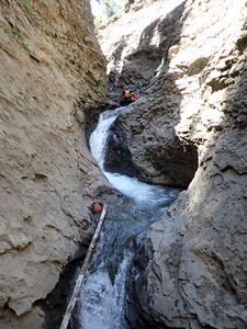
R1: 25' from a rock pinch in Canyon Center. Descending into a rabbit hole on Canyon Right can avoid the majority of the flow.
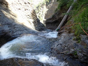
R2: 20' from a log for a short nuisance rappel
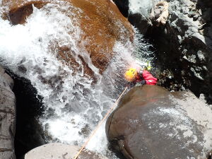
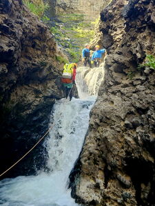
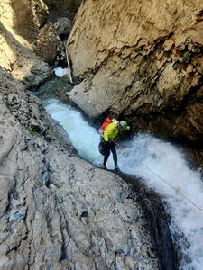
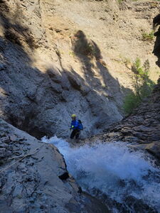
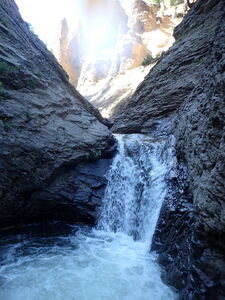
R3: 110' from a rock pinch down a mostly straight collection of three waterfalls. Most of the water flow can be stemmed around, but this felt like the crux of the canyon in terms of contending with the bulk of the waterflow.
A short downclimb on Canyon Left follows R3.
R4: 45' from a woven in root on Canyon Right for a 15' drop followed immediately by R5.
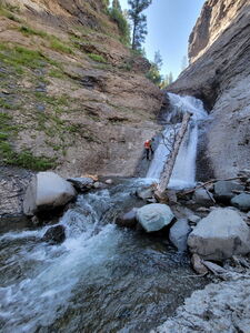
R5: 100' from a large vertical log past two potholes
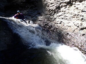
T: 8' a short vertical slide - check the depth first
Exit[edit]
Descend Hondo Creek to Rio Blanco and proceed downstream in the wider Rio Blanco finding paths on either side and crossing the river a few times as necessary. When the walls on river right allow for a short climb back to the trail, aim for it and follow the trail back to the car.
Red tape[edit]
Private property lines run close to the approach for the first 1.5 miles. Follow the approach described on this page and do not drive into the gated community.
Beta sites[edit]
Trip reports and media[edit]
14 July 2023: Explored by Ira Lewis, Scott Smith, Eva & Aether Vaitkus, Dan Kinler, Laurie Zuehls
