Iron Mountain Creek
| Rating: | |||||||||||||||||||||||||||||||
|---|---|---|---|---|---|---|---|---|---|---|---|---|---|---|---|---|---|---|---|---|---|---|---|---|---|---|---|---|---|---|---|
| | Raps:8, max ↨195ft
Red Tape:No permit required Shuttle:None Vehicle:Passenger Rock type:Mancos Shale, Slate | ||||||||||||||||||||||||||||||
| Start: | |||||||||||||||||||||||||||||||
| Parking: | |||||||||||||||||||||||||||||||
| Condition Reports: | |||||||||||||||||||||||||||||||
| Best season: | Aug-Sep
|
||||||||||||||||||||||||||||||
| Regions: | |||||||||||||||||||||||||||||||
Introduction[edit]
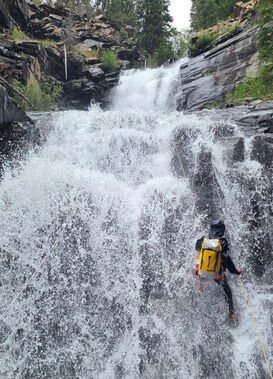
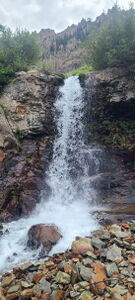
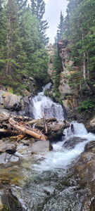
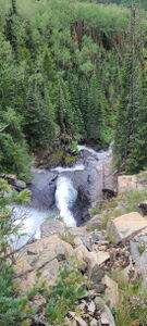
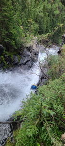
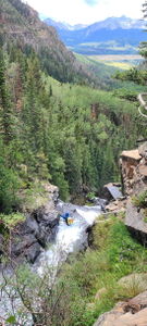
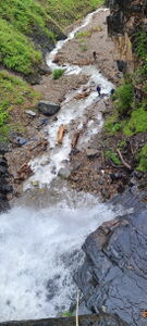
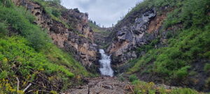
Iron Mountain Creek is a great high action canyon with bigger water. Only two small downsides: slipperiness throughout and a short downstream bushwhack to regain the trail. Otherwise, the views are amazing and easy trail access for the approach and return make the higher mileage more manageable.
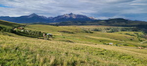
Located on the western side of the Telluride valley above the Telluride airport, Iron Mountain Creek was unassuming with obscured satellite imagery, but was a great surprise find.
Approach[edit]
Drive north on Deep Creek Rd off CO 145, the road into or from downtown Telluride. When Deep Creek Rd ends at Last Dollar Rd, two miles from CO 145, go right on Last Dollar Road for one more mile.
Park at the Deep Creek Trailhead.
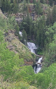
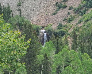
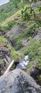
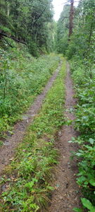
Hike 1.0 mile on the Deep Creek Trail. Turn left on the Iron Mountain Spur. When Iron Mountain Spur turns right, continue straight on the Whipple Trail, which is a faster connector to the Iron Mountain Trail on the west side of the Iron Mountain Creek valley. When the Whipple Trail intersects the Iron Mountain Trail, turn uphill to the right for 2.7 miles +1100'. A few of the waterfalls can be seen from the trail. Depart the trail and walk down an easy slope either above or below R1 based on where the team wants to begin.
Descent[edit]
R1: 45' from a slung rock or willows DCL
R2: 60' from a tree DCL next to a ten foot falls for a low angle nuisance rappel
R3: 65' from several trees on either side starting in a narrow chute for three stages. bypassable on either side
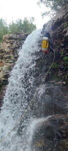
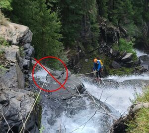
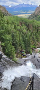
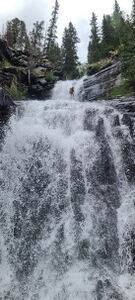
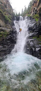
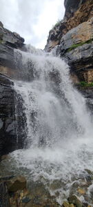
R4: 195' from a tree DCR for the big multistage rappel. Loop the rope midstream in the gunsight on an rock outcropping as a directional. Setting the line underneath the rock will cause friction problems for the pull and for rappellers.
R5: 55' from a tree DCR at the bottom of R4
R6: 90' from a rock in Canyon Center
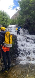
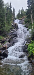
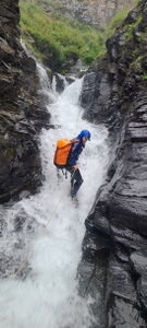
R7: 120' from a tree DCR for a long series of high volume flows. Note the first incoming tributary DCR half way through the sequence.
Pass the second incoming tributary DCR
R8: 145' from a log or avalanche debris in the watercourse for two drops: 20ft and 45ft about 60ft apart
Exit[edit]
From the bottom of the canyon, walk downstream to intersect a trail switchback below. Look for raspberries in August near the end of the canyon.
Some unfortunate bush bashing is required to reach the trail, which will be DCR of the stream. Battle through, then hike up the trail to the left and easily back to the car mostly on an old jeep road next to an aqueduct.
Red tape[edit]
Beta sites[edit]
Trip reports and media[edit]
2024-08-18 First known descent. Ira Lewis, Christopher Welsh, Jonah Howard, Carl Bern
