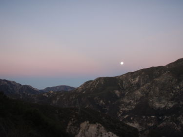
Josephine Creek (Upper)
Jump to navigation
Jump to search
| Rating: | |||||||||||||||||||||||||||||||
|---|---|---|---|---|---|---|---|---|---|---|---|---|---|---|---|---|---|---|---|---|---|---|---|---|---|---|---|---|---|---|---|
| | Difficulty:3A III (v3a1 III) Raps:2
Red Tape: Shuttle:Optional 7 (hiking on Angeles Forest highway not recommended) Vehicle:Passenger Rock type:San Gabriel Granite - more solid than other areas | ||||||||||||||||||||||||||||||
| Location: | |||||||||||||||||||||||||||||||
| Condition Reports: | |||||||||||||||||||||||||||||||
| Best season: | AVOID in Summer
|
||||||||||||||||||||||||||||||
| Regions: | |||||||||||||||||||||||||||||||
Introduction[edit]
Head water drainage of Josephine Creek. It looks to have potential from Angeles Forest Highway but disappointed we where
Approach[edit]
The trailhead is at Clear Creek Junction (Angeles Crest and Angeles Forest Highways). Park here and hike down Angeles forest highway a short distance to Josephine Peak Road. Through the gate and then the long slog up the road on the south facing side of Josephine peak 2.45 miles, 1352ft up the road it cuts through the ridge and continues on the north side 1.36 mi 642ft
Descent[edit]
Exit[edit]
Red tape[edit]
Beta sites[edit]
Trip reports and media[edit]
Background[edit]
This area doesn't seem to have the type of uplifting that makes for dramatic big drops like north side of Mt Lukens. Mt lukens is a massive slab that is tilted, lifted in the north and dipped on the south. Josephine seems like a rock poked up
