Lake Fork (Upper)
| Rating: | |||||||||||||||||||||||||||||||
|---|---|---|---|---|---|---|---|---|---|---|---|---|---|---|---|---|---|---|---|---|---|---|---|---|---|---|---|---|---|---|---|
| | Raps:3-7, max ↨110ft
Red Tape:No permit required Shuttle:Optional Vehicle:High Clearance | ||||||||||||||||||||||||||||||
| Start: | |||||||||||||||||||||||||||||||
| Parking: | |||||||||||||||||||||||||||||||
| Shuttle: | |||||||||||||||||||||||||||||||
| Condition Reports: | 18 Jul 2024
"An absolutely beautiful waterway. Our favorite of the dozen routes weve done in colorado over the last 2 weeks. Anchors were still in like new condit |
||||||||||||||||||||||||||||||
| Best season: | Aug-Sep
|
||||||||||||||||||||||||||||||
| Regions: | |||||||||||||||||||||||||||||||
Introduction[edit]
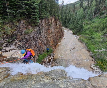
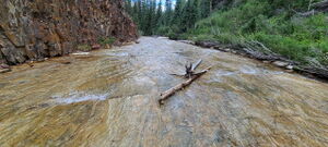
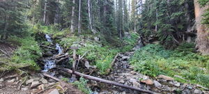
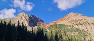
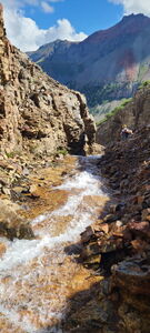
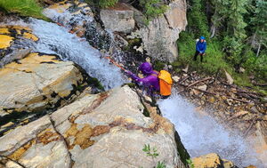
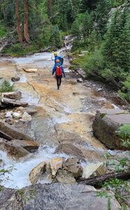
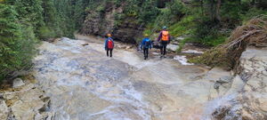
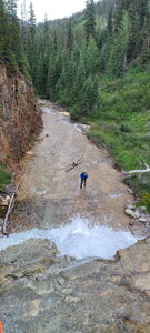
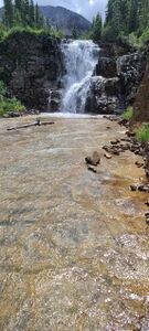
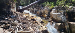
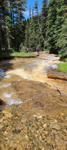
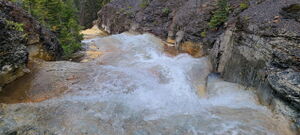
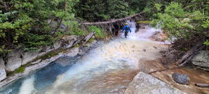
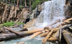
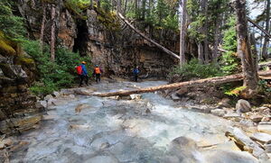
Upper Lake Fork has a few unique features and a good pay-to-play ratio. First, the colors! Several Calcium Carbonate sources color the water turquoise blue and the rocks and logs white. Other flowing mineral sources color rocks and logs an orangish-red. Second, many of the walking sections are flat, long and wide walkways with a thin amount of water flowing over the top. Highly recommended!
Approach[edit]
Short Route, Upper Lake Fork recommended
Beta statistics are provided for this option with a car shuttle
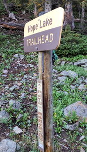
Park at the Lake Hope Trailhead Parking at the end of Hope Lake Rd (FS627), 4.25 miles from CO 145 near Trout Lake.
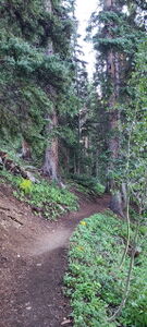
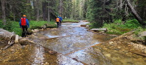
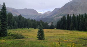
Hike the Hope Lake Trail 0.75 miles, depart the trail and descend through a meadow to the confluence of several small creeks and the start of the interesting geology in Upper Lake Fork.
Long Route, including San Miguel Creek tributary
San Miguel Creek is not named on maps, but flows north from San Miguel Peak
Total approach distance: 1.9 miles, +1000'
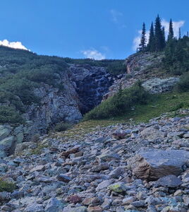
From the Lake Hope Trailhead Parking, hike the Hope Lake Trail 1.15 miles, departing the Lake Hope trail when it reaches Lake Fork Creek, flowing down from the dammed Lake Hope above. A "Hope Lake Trail" train sign is at this location. Cross the creek and go uphill through willows and up talus slopes. Either go fully to the top of the drops in San Miguel Creek (0.75 miles after departing the trail) or shortcut to the top of the first mandatory rappel in San Miguel Creek. Note the low flow Lake Hope Falls on this approach.
Descent[edit]
San Miguel Creek tributary
DC 20' on Canyon Right over some scree
DC on Canyon Right or rappel dry on Canyon Left
DC on Canyon Right around a small waterfall
SMC R1: 40' from a tree on Canyon Left
DC on Canyon Left in the corridor above SMC R2
SMC R2: 100' from a tree on Canyon Left
proceed through the forest after R2 paying attention to the creek to not miss R3
SMC R3: 35' from a tree on Canyon Left
bypass a small 15' waterfall on Canyon Left
bypass a short waterfall on Canyon Right
reach the confluence of San Miguel Creek, Upper Lake Fork and another unnamed creek
Upper Lake Fork
Upper Lake Fork starts with a wide flat hallway, colored white from Calcium Carbonate in various incoming tributaries
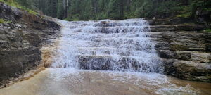
DC a low angle set of stair steps
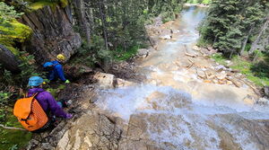
R1: 50' from a tree on Canyon Left into a great wide and long hallway
DC through a long narrow corridor
R2: 40' from a tree on Canyon Left. While it may be possible to bypass this drop on Canyon Left, take the time to stay in the watercourse to protect the abundant moss on the hillside
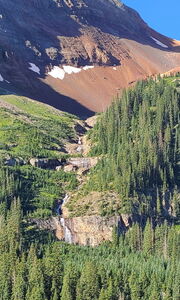
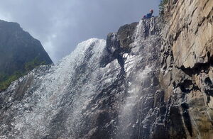
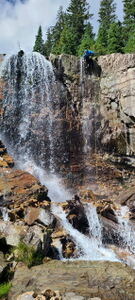
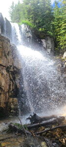
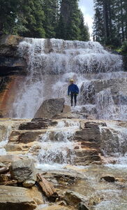
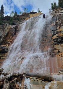
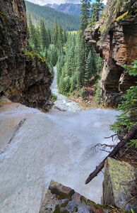
R3: 110' Lake Fork Falls from a tree on Canyon Left. Beware of a sharp edge on Canyon Left that core shot a rope
R4: 35' from a tree on Canyon Left next to the falls
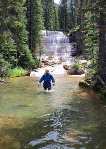
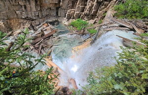
Lower Lake Fork Falls: 100' Because it is not possible to avoid the Private Land boundary below, resist the final rappel and exit at the top of the falls, up a short hill on Canyon Right.
Exit[edit]
One Car Return to Hope Lake Trailhead: From the hillside just above Lower Lake Fork Falls, bushwhack trending uphill Northeast through the forest on game trails on any available path. (0.3 to 0.4 miles, +600')
Car Shuttle Return: From the hillside just above Lower Lake Fork Falls, bushwhack Northwest, contouring at the same elevation to a parked vehicle at a lower switchback near some campsites on FS627 (37.81150, -107.86575). Staying lower, closer to the private property line may provide the better line. Closest to the return vehicle is the marshiest land that might be better avoided by walking as far Northwest as possible then cutting in at the last moment. (approximately 1.15 miles, +/- a few hundred feet elevation)
Red tape[edit]
Beta sites[edit]
Trip reports and media[edit]
26Aug2023 explored by Ira Lewis, Dan Kinler, Laurie Z, Carl Bern
