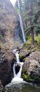
Lean Creek
| Rating: | |||||||||||||||||||||||||||||||
|---|---|---|---|---|---|---|---|---|---|---|---|---|---|---|---|---|---|---|---|---|---|---|---|---|---|---|---|---|---|---|---|
| | Raps:7-8, max ↨105ft
Red Tape:No permit required Shuttle:None Vehicle:4WD Rock type:Congomerate | ||||||||||||||||||||||||||||||
| Start: | |||||||||||||||||||||||||||||||
| Parking: | |||||||||||||||||||||||||||||||
| Condition Reports: | 9 Jul 2024
"The top of the route was overgrown and rather unpleasant. The highlight was the last rappel. Flow was fun and not too pushy. 3 rappels total for our t |
||||||||||||||||||||||||||||||
| Best season: | Jul-Sep
|
||||||||||||||||||||||||||||||
| Regions: | |||||||||||||||||||||||||||||||
Introduction[edit]
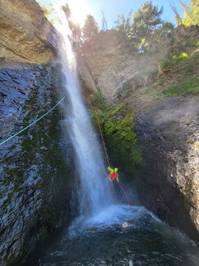
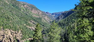
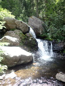
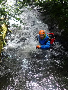
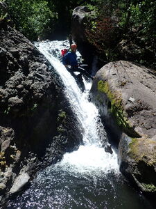
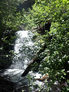
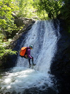
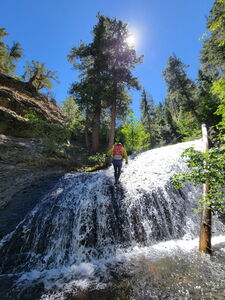
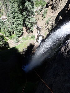
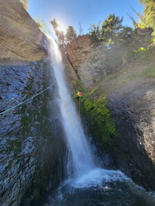
Lean Creek might have the best pay-to-play ratio in the Pagosa area. The creek had a surprising number of small fun rappels before the final Lean Creek Falls rappel lands in a swimming plunge pool. With dispersed camping at the trailhead, this could be a good opportunity to get a feel for hiking at Colorado altitude and bashing through just a bit of the usual off-trail growth without biting off a huge day.
Approach[edit]
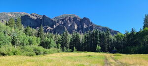
Drive 23 miles on Piedra Road to the North from Highway 160 on the West side of Pagosa Springs. Piedra Road turns into FS 600 then 631. Follow the subtle right turn onto FS 636 to the Middle Fork Piedra River. Park at the end of the road.
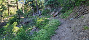
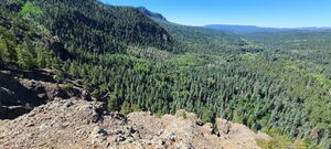
Hike the Middle Fork Piedra River Trail from the pit toilet toward the East and cross the Middle Fork Piedra River. Follow the trail up the ridge via several switchbacks and drop in at a gully close to Lean Creek as noted on the map.
Descent[edit]
Downclimb followed by a small low angle slide bypassable on Canyon Right
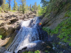
R1: 100' from a tree uphill on Canyon Right for a shorter low angle waterfall
(R2: 30') two short tiers bypassable on Canyon Right
10' drop bypassable on Canyon Right
DC: 20'
R3: 45' from a log in Canyon Center into waist deep pothole
DC: 20'
R4: 35' from a log in Canyon Center to a 10ft overhang into a shallow pothole
R5: 40' from a tree on Canyon Left
R6: 30' from a tree on Canyon Left
R7: 20' fiddled from a large tree lower on Canyon Right, possible Downclimb CR
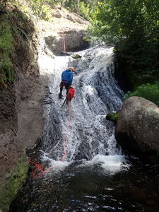
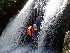
R8: 105' from a tree on Canyon Left to rappel next to the flow of Lean Creek Falls into the pool below. A slightly longer rope for the pull will be useful. Beware catching the rope in a narrow pinch at the lip.
Exit[edit]
Climb down to the Middle Piedra River and seek a trail on River Right when possible. About when the rock walls end on the right, the trail seems to be blown out and disappears. Strike a path through the brush to a better trail as noted in the .kml on the Interactive Map.
Red tape[edit]
Beta sites[edit]
Trip reports and media[edit]
16 July 2023: R4-R9 explored by Ira Lewis, Dan Kinler and Laurie Zuehls
5 Aug 2023: R1-R3 explored by Ira Lewis, Carl Bern
