Middle Canyon (San Juan Mountains)
| Rating: | |||||||||||||||||||||||||||||||
|---|---|---|---|---|---|---|---|---|---|---|---|---|---|---|---|---|---|---|---|---|---|---|---|---|---|---|---|---|---|---|---|
| | Raps:2, max ↨330ft
Red Tape:No permit required Shuttle:None Vehicle:4WD - High Clearance Rock type:San Juan Volcanic Tuff | ||||||||||||||||||||||||||||||
| Location: | |||||||||||||||||||||||||||||||
| Condition Reports: | |||||||||||||||||||||||||||||||
| Best season: | Aug-Oct
|
||||||||||||||||||||||||||||||
| Regions: | |||||||||||||||||||||||||||||||
Introduction[edit]
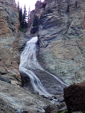
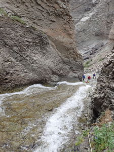
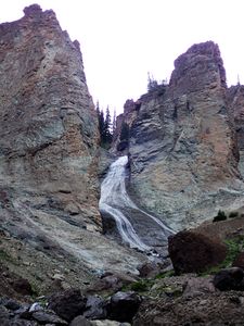
A big hike for a beautiful huge waterfall through spectacular Colorado high country. Middle Canyon is the last in the series of canyoning descents on the East Side of Cow Creek, which all cut through an impressive layer creating big final rappels.
Approach[edit]
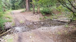
From Ridgway, drive 12.5 miles to the end of Cow Creek and the Trailhead. Camping is not allowed until you drive across Cow Creek itself. 4WD HC required for the road although it is graded annually after the Cow Creek crossing for hiker and hunter access and is generally in good condition. In 2018, the river shifted much of the river rocks so two additional river crossings are now avoided.
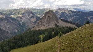
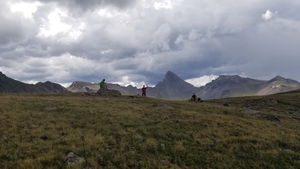
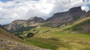
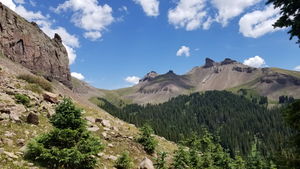
Start early at the trailhead and hike the Cow Creek Trail toward Wetterhorn Basin. The first five miles gain 4,000 ft. Once above treeline, follow the wooden trail posts around Wetterhorn Basin to the Middle Canyon Trail. Enjoy the sights of the backside of Wetterhorn Peak through the rolling terrain in Wetterhorn Basin all of which is above 12,000ft. If you see backpackers, they might be hiking a big loop around Wetterhorn Peak, one of the states iconic 14,000+ ft mountains.
Following the Middle Canyon Trail gains the final saddle of the trip. Follow the trail downhill until you near the creek, then peel off and parallel the creek until the gorge drops and walking on the hill side becomes less preferable to down climbing in the creek itself.
Descent[edit]
Down climbs are abundant and straightforward above R1.
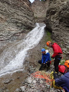
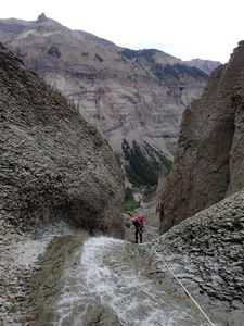
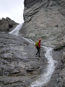
R1: 170' anchored from a small tree on canyon left for a low angle rappel around the corner.
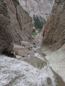
R2: 330' from a girth-hitched log in the canyon center. A 300' rope would reach rock and one could downclimb from there, however a pull of 340-350' from the anchor is advantageous for a better stance.
After R2, the final 700 ft descent can all be down climbed to the intersection with Cow Creek.
Exit[edit]
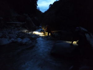
Once at the end of Middle Canyon, return 5 miles to the parking area via Cow Creek. This is a boulder hopping adventure. Wetsuits are not recommended for this, but you will likely wade to just above the knee crossing from one side of the creek to another to find a suitable path. This section has always been done after dark for every canyon in Cow Creek. Bring adequate bright headlamps and go heavy on extra batteries. More and better headlights means faster travel, despite the travel being slow to begin with. Estimate 1 to 1.1 mph travel time rock hopping in Cow Creek.
Red tape[edit]
Beta sites[edit]
Trip reports and media[edit]
July 14, 2018: Explored by Ira Lewis, Carl Bern, Chris D'Amico, and Mike Gulsvig
