Mill Creek
| Rating: | |||||||||||||||||||||||||||||||
|---|---|---|---|---|---|---|---|---|---|---|---|---|---|---|---|---|---|---|---|---|---|---|---|---|---|---|---|---|---|---|---|
| | Raps:8-9, max ↨115ft
Red Tape:No permit required Shuttle:Required 15 min Vehicle:4WD | ||||||||||||||||||||||||||||||
| Location: | |||||||||||||||||||||||||||||||
| Condition Reports: | |||||||||||||||||||||||||||||||
| Best season: | July-September
|
||||||||||||||||||||||||||||||
| Regions: | |||||||||||||||||||||||||||||||
Introduction[edit]
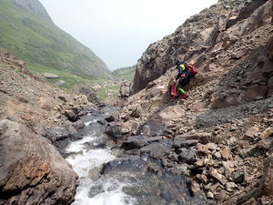
The first waterfall of Mill Creek is at 12,270' just below Columbine Lake, however a sneak route from the bottom provides access to R6 & R7, which is the best sequence in the canyon. The creek cuts a notch in the toughest rock band for R6 & R7 and has formed a knee-deep platform between these rappels.
Ratings: Having done both variations, the sneak route is 4 stars with a great pay-to-play ratio. The upper portion of the canyon earns 1.5 stars at best.
While the full canyon requires hiking almost to Columbine Lake, a worthwhile side trip, at least a third of a mile of stream walking exists between R3 and R4. Most of the higher altitude waterfalls are in open canyon and many can be walked around. The canyon also opens up in the section below R7.
In higher water, this canyon may present significantly more challenge and in earlier season, the water will be colder with snowmelt.
The first descent rated this canyon a "4" for difficulty due to the anchor building requirements. "You must be confident and efficient in using knot chocks and deadman anchors in the watercourse. In particular, the exploration team built an underwater deadman for R7 in the flow of the dark corridor of the canyon and working in a knee-deep pothole with ice-water flowing through." Note R7 now has bolts.
Beware of foot entrapment in R6, but this should be easier to avoid in moderate or low water.
Approach[edit]
From Ouray Hot Springs drive south on Highway 550 for 17 miles toward Silverton and over Red Mountain Pass to a huge hairpin turn. At the westernmost point in the hairpin turn is a dirt road. Make a right onto this dirt road and park in the large lot at the bottom of Forest Road 821 0.1 miles from Highway 550.
0.5 miles up FR821 is Silver Crown Mine, with a large level platform with parking for about 10 vehicles, remnants of an old brick kiln and two fire rings, but this is marked as private land as of summer 2021. Driving to Silver Crown Mine requires high clearance 2WD. Capable High Clearance 4WD is required to drive FR821 beyond this large platform leading up to Silver Cloud Mine as the road gets much rougher.
The sneak route for R6-R8:
Hike FR821 0.5 miles to Silver Crown Mine, noting this will be a possible and likely exit. Continue another 0.5 miles up FR821 toward Silver Cloud Mine, but at a sharp switchback for a right turn with a flat space and evidence of camping, depart the dirt road and head straight south for 850' to the mouth of the cut in the rock band.
Cross Mill Creek and proceed uphill on a game trail to gain 315' vertical feet. When the cliff bands to the west break into forest, follow game trails to the west at an elevation of 11,500' to intersect with Mill Creek just below R5.
The full adventure with car shuttle:
Leave a car at the FR821 parking lot 0.1 miles from Highway 550 and drive to the Columbine Lake Trailhead by taking Highway 550 south for 2.7 miles. Take a sharp right off the highway onto a dirt road labeled for Ophir Pass (FR679). Go down a hill and cross the North Fork of Mineral Creek on a bridge. The road turns to the left and take the next right (FR820) into the forest. High Clearance 2WD or an all wheel drive vehicle should be able to make this. The trailhead is 1.3 miles from the highway. There is a sign on the right for Columbine Lake Trail and several pull-outs just before and after the trail sign. Park at one of these.
FR820 makes a loop to connect with the highway north of the sign for Ophir Pass. High Clearance 4WD is required to cross North Fork of Mineral Creek here. There is not a bridge.
Hike from the Columbine Lake Trailhead up the initial unrelentingly steep trail to the pass at 12,500 feet elevation, for an elevation gain of 2,250 feet. After about 0.5 miles, pass a trail post on the right. Continue on the trail until it skirts a rock band on the left with a downhill scree slope on the right. Aiming for the watercourse on the scree field has less impact for fragile alpine environments. Mill Creek flows out of Columbine Lake. Aim for the rocky dropoff down to the right, which is the start of the canyon. The first rappel is at an elevation of 12,270 feet.
Descent[edit]
R1: 50' Knot Chock on Canyon Right, short free-hang and rooster-tail at bottom
R1a: 15' alternatively, walk around to the northern small tributary that meets at this point, downclimb, do this short rappel and downclimb the rest
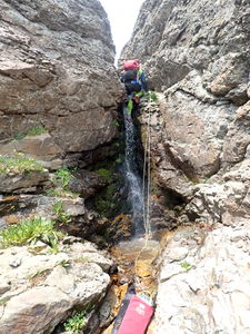
R2: 25' Rock Pinch on Canyon Right OR bypass on Canyon Left
R3: 50' Rock Pinch in the watercourse for a 2-stage rappel into a pothole. Duck under a large boulder through a rabbit hole. A short free-hang is at the end. Throw the pull rope over the top of the boulder.
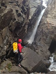
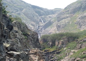
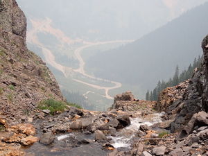
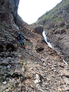
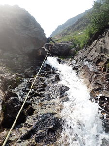
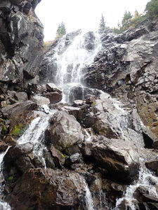
R4: 115' from a rock pinch on Canyon Right, but that produces a challenging rope pull due to friction. It would be better to find a natural anchor in the middle of the watercourse. This low angle cascade can be bypassed on a scree slope on Canyon Right and is also the top of the series of waterfalls when viewed from the hairpin turn on highway 550 below.
The next obstacle is a 20' waterfall, but can be bypassed on Canyon Left.
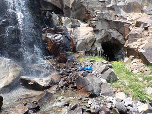
R5: 50' from a rock pinch in the stream course for a 35' waterfall. A mine is located at the bottom of this waterfall on Rappeller's Right.
Mill Creek Sneak Route starts here for the notch of Mill Creek:
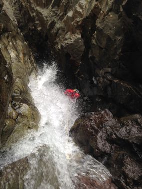
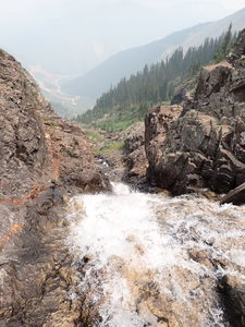
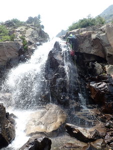
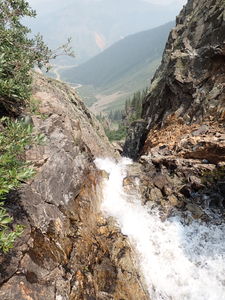
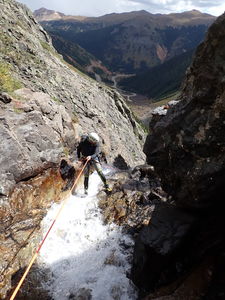
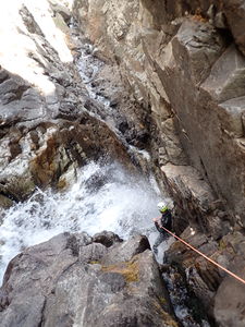
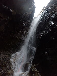
R6: 100' from a rock in Canyon Center. The water flows fast in a constrained narrow chute, but it is possible to rappel this and keep feet on one side with hips on the other. Beware of foot entrapment here. Getting caught by the flow could be hazardous. R6 lands in a narrow, dark platform just before R7.
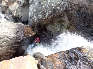
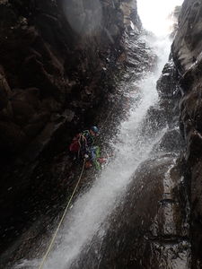
R7: 75' from bolts on Canyon Right into a slanted, aerated waterfall shower. A longer pull rope and moving to a cleaner angle will help retrieval from below.
Downclimb through the rest of the narrows and exit the cliff band
Possible Exit: exit on the approach for the sneak route and follow FR821 to the parked car below.
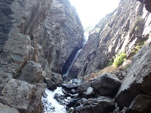
Mill Creek returns to being big and open after the hallway following R7.
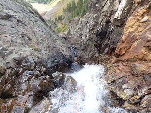
R8: 80' from a tree on Canyon Left. Mill Creek R8 is an open, cascading waterfall.
Exit to the large flat area at Silver Crown Mine when a trail appears on Canyon Left.
R9 is an optional final waterfall less than 100' on the way to the lower parking lot in the streamcourse.
Exit[edit]
After R8, downclimb until a use trail is visible on Canyon Left. Take the trail just over the bluff to Silver Crown Mine and hike FR821 back to the lower parking.
If continuing in the streamcourse, negotiate R9 then stream walk the remaining 1/2 mile to the parking below.
Red tape[edit]
Beta sites[edit]
Trip reports and media[edit]
Background[edit]
First canyoneering descent 8/22/2015 Logan DeGrand, Kelton Manzanares, Alden Anderson.
8/2021 and 9/2021 trips produced the kml map and sneak route beta. Ira Lewis, Chris D'Amico, Matt McArthur
