Mill Creek Falls
| Rating: | |||||||||||||||||||||||||||||||
|---|---|---|---|---|---|---|---|---|---|---|---|---|---|---|---|---|---|---|---|---|---|---|---|---|---|---|---|---|---|---|---|
| | Raps:3-4, max ↨270ft
Red Tape:No permit required Shuttle: Vehicle:High Clearance Rock type:Sandstone | ||||||||||||||||||||||||||||||
| Location: | |||||||||||||||||||||||||||||||
| Condition Reports: | |||||||||||||||||||||||||||||||
| Best season: | Aug-Sep
|
||||||||||||||||||||||||||||||
| Regions: | |||||||||||||||||||||||||||||||
Introduction[edit]
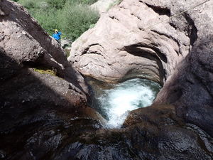
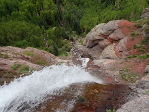
While the approach and return are longer than desired, the views and technical descent are great. The first two rappels have fun sandstone potholes and features then ends in the giant Mill Creek Falls.
Approach[edit]
From N Aspen St and W Colorado Ave in Telluride, drive 1.5 miles West on CO 145 and turn right (North) on Mill Creek Road, which turns to dirt almost immediately. 2WD high clearance is probably sufficient in dry weather. Drive Mill Creek Road 1.6 miles up the hill to the Deep Creek Trailhead.
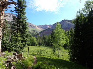
Hike 0.6 miles on the Deep Creek Spur trail past to the water treatment facility to the junction with the Deep Creek Trail, turn left, uphill to the West for 1.4 miles. A new Eider to Mill Creek Trail for mountain biking is being constructed (2022) one switchback up from the Deep Creek Trail junction. Stay right to avoid this current out-and-back.
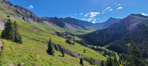
Connect to the Sneffels Highline Trail and proceed uphill 2.1 miles. One comment on alltrails describes this as "Spectacular. Done plenty of hiking in life and this is about as good as it gets." Leave the trail and proceed downhill after a large gully (GPS is convenient). If following the gully down, find the canyon start on the East side of a Dakota sandstone outcropping, where Mill Creek begins to carve potholes in the sandstone.
Descent[edit]
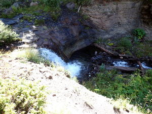
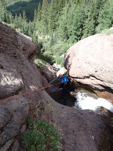
R1: 90ft from a tree on Canyon Left through four thigh-deep potholes and short rappels. Using a closer tree on Canyon Right will shorten the rope length.
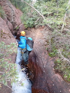
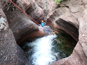
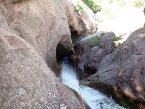
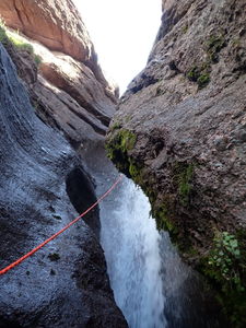
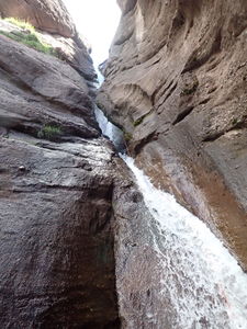
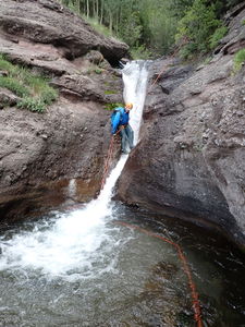
R2: 130ft from a tree on Canyon Left. Rappel into a waist deep pothole, under the fin, pop out in a narrow outpour to rappel another waterfall. Clear the ropes by flicking them around the fin and finish the rappel in a swimmer pothole below. Exit in a narrow deep slot that turns into a swimmer at the very end. This rappel is ridiculously fun and beyond unique in Colorado. Absolutely worth the hike up.
Downstream a little ways the short waterfall above Mill Creek Falls comes into view. While it is bypassable on Canyon Right, R3 may be worth the quick effort.
R3: 30ft from a tree on Canyon Left
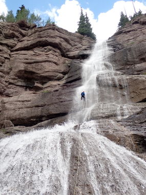
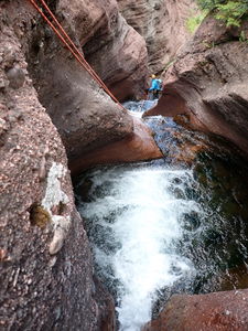
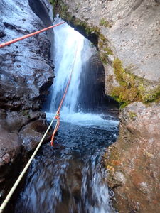
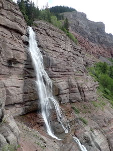
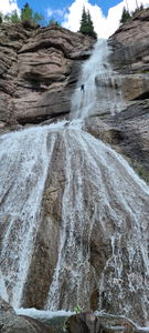
R4: 270ft Mill Creek Falls from a tree on Canyon Right. The main attraction! Leave ice climbing anchors as they are and select a tree that provides a good fall line. The rappel is vertical for 150ft, then consumes the rest of the rope for the broader apron.
Exit[edit]
Begin downstream from the base of the falls trending to Canyon Right and pick up a trail in the forest. The return is trail-less through the woods. Look for game trails and avoid boggy areas. Staying closer to Mill Creek is helpful for a while.
Re-intersect the approach trail near a meadow and hunter's camp and walk back down to the parking spot.
Red tape[edit]
Beta sites[edit]
Comments on the approach trail: https://www.alltrails.com/explore/trail/us/colorado/sneffels-highline-and-deep-creek-loop
Trip reports and media[edit]
Aug2022: photos, map and rappel details added to beta. Ira Lewis, Dan Kinler
