Miller Creek (Dinosaur)
| Rating: | |||||||||||||||||||||||||||||||
|---|---|---|---|---|---|---|---|---|---|---|---|---|---|---|---|---|---|---|---|---|---|---|---|---|---|---|---|---|---|---|---|
| | Difficulty:3B II (v2a2 III) Raps:3, max ↨40ft
Red Tape:No permit required Shuttle:None Vehicle:4WD Rock type:Sandstone | ||||||||||||||||||||||||||||||
| Start: | |||||||||||||||||||||||||||||||
| Parking: | |||||||||||||||||||||||||||||||
| Condition Reports: | |||||||||||||||||||||||||||||||
| Best season: | May-Jun, Sep-Oct
|
||||||||||||||||||||||||||||||
| Regions: | |||||||||||||||||||||||||||||||
Introduction[edit]
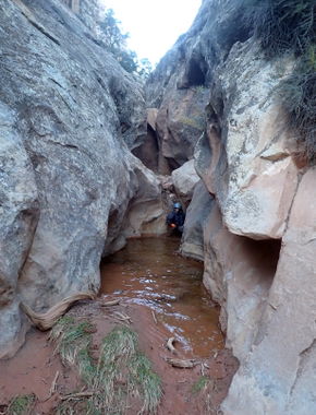
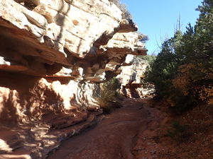
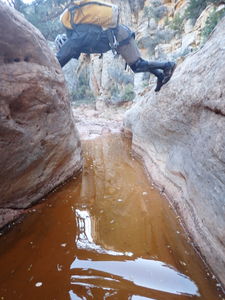
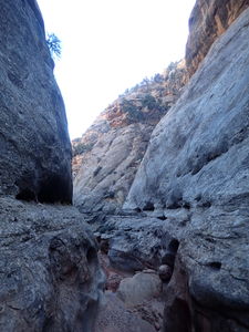
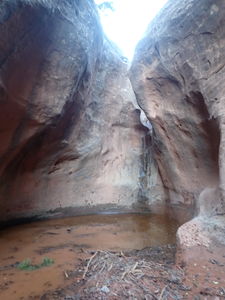
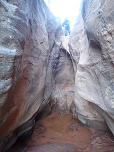
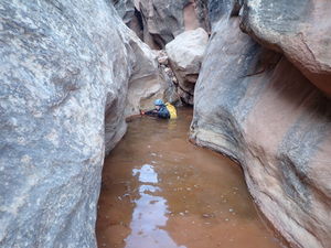
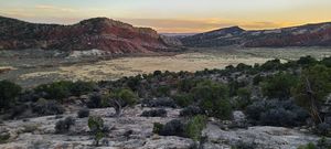
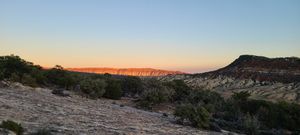
Miller Creek is a great, fun canyon. The approach is easy in a nice pretty streambed, the canyon delivers big walls and lots of short downclimbing obstacles with a few short rappels. The return on the ridge is easy for pathfinding and making good time. Recommended and repeatable. Wetsuits advised in cooler temperatures; this canyon holds water in short sections.
Approach[edit]
Drive:
Drive 14.3 miles East of Dinosaur, CO and exit north off Hwy 40 onto County Road 104, continuing East. After 4 miles, turn North on Skull Creek Rd / CR 95. Turn left on an unimproved 4WD HC dirt road at 10 miles from Hwy 40, or park a lower clearance vehicle here and hike a little further.
Park at the dirt road intersection with the Miller Creek drainage.
Hike:
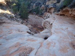
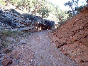
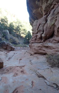
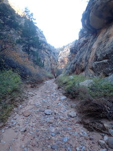
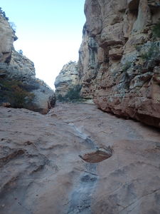
Approach in the streambed for 1.35 miles. This section is really pretty and makes for easy and fast downhill hiking often on slickrock in the watercourse.
Descent[edit]
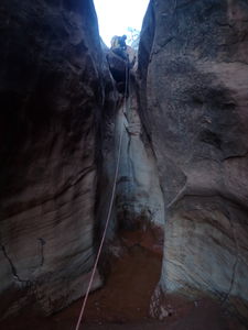
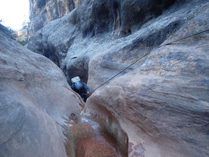
R1: 20' from a rock
Optional rappel or DC with partner assist on Canyon Left
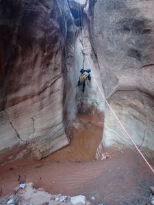
R2: 40' from a from tree set back CR
R3: 25' from a pinch into pool
A few housing structures come into view before the interesting geology is totally done, but a cairn at this point up on Canyon Left represents the property line boundary and indicates its time to exit up the ridge to the Left/East.
Exit[edit]
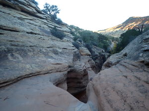
Follow the ridge through open juniper and some sage brush fields back to the car. For overland travel, this is pretty easy to find an unobstructed path on the ridge east of the canyon.
Red tape[edit]
Beta sites[edit]
Trip reports and media[edit]
Explored by Scott Patterson
16Oct2022 documented by Ira Lewis on a trip with Wayne Herrick
Background[edit]
The larger drainage to the east is reported to be non-technical; all drops can be up- and down-climbed.
