Miller Lite Creek
| Rating: | |||||||||||||||||||||||||||||||
|---|---|---|---|---|---|---|---|---|---|---|---|---|---|---|---|---|---|---|---|---|---|---|---|---|---|---|---|---|---|---|---|
| | Difficulty:3B (v3a2 II) Raps:2
Red Tape:No permit required Shuttle:None Vehicle:4WD - High Clearance Rock type:Sandstone | ||||||||||||||||||||||||||||||
| Start: | |||||||||||||||||||||||||||||||
| Parking: | |||||||||||||||||||||||||||||||
| Condition Reports: | |||||||||||||||||||||||||||||||
| Best season: | May-Jun, Sep-Oct
|
||||||||||||||||||||||||||||||
| Regions: | |||||||||||||||||||||||||||||||
Introduction[edit]
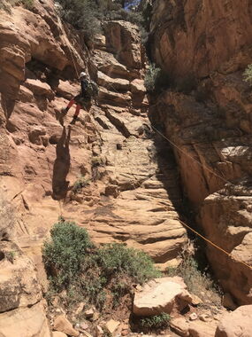
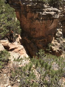
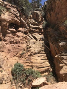
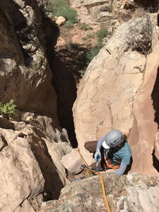
A few short drops and some pretty sculpted sandstone sections are contained in Miller Lite Creek, one drainage east of Miller Creek. Consensus says Miller Creek rates higher.
Approach[edit]
Drive 14.3 miles East of Dinosaur, CO and exit north off Hwy 40 onto County Road 104, continuing East. After 4 miles, turn North on Skull Creek Rd / CR 95. Turn left on an unimproved 4WD HC dirt road at 10 miles from Hwy 40, or park a lower clearance vehicle here and hike a little further.
Park at the dirt road intersection with the Miller Creek drainage.
Hike down the Miller Lite streambed until down climb and rappelling challenges.
Descent[edit]
Exit[edit]
The exit track east of Miller Creek is confirmed, however the closer ridge between Miller Lite and Miller Creek is reported to go as well and has been added to the map with an approximate line. The return distance is based on this approximate line.
Try to exit before the end of the Skull Creek Wilderness Area and private land below. This wilderness boundary is marked with a red line on the Interactive Map.
Red tape[edit]
Beta sites[edit]
Trip reports and media[edit]
Background[edit]
Explored by Edmund Ruddell and team 21Jun2018. Information provided by Edmund for this beta entry.
