Oak Creek (Canopy) (Ouray)
| Rating: | |||||||||||||||||||||||||||||||
|---|---|---|---|---|---|---|---|---|---|---|---|---|---|---|---|---|---|---|---|---|---|---|---|---|---|---|---|---|---|---|---|
| | Raps:12, max ↨130ft
Red Tape:No permit required Shuttle:None Vehicle:4WD Rock type:Tuff, Sandstone, Conglomerate | ||||||||||||||||||||||||||||||
| Location: | |||||||||||||||||||||||||||||||
| Condition Reports: | 7 Sep 2024
"Canopy to Bridge in a day. Car-to-car in 14.5 hrs. Stellar journey! We had to build almost all anchors in the canopy and several in the upper secti |
||||||||||||||||||||||||||||||
| Best season: | July-Sep
|
||||||||||||||||||||||||||||||
| Regions: | |||||||||||||||||||||||||||||||
Introduction[edit]
The upper reaches of Oak Creek make for a long but beautiful day. The obstacles of the Canopy of Oak Creek are straightforward, however one group's unfortunate accident has already identified the extreme difficulty of Search and Rescue (SAR) and helicopter access to this high basin. Pick your small team with high consideration for skills and fitness so that SAR will not have to return to this area.
Approach[edit]
Parking at the 4WD trailhead off 3rd St in Ouray helps keep the legs fresh for a moment longer.
Take the Oak Creek Trail past the start of Upper Oak. If hiking to this point takes much longer than 90min, reconsider options for the rest of your day, such as some or all of Upper, Middle, and Lower Oak since you've already gained the elevation.
The route departs the Oak Creek Trail at the saddle or before. In fact, departing the trail sooner and contouring below the trees by following the attached GPS track might cut out a significant amount of negotiating large downed trees at the saddle going up the ridge to the West.
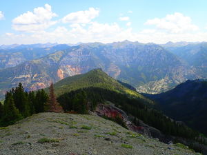
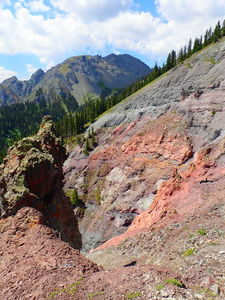
Find your way to the ridge leading toward Whitehouse Mountain walking the game trails in the trees until the ridge passes treeline and a safe access (but with mild exposure) can be made beyond the blown out gully at 11,780' before turning downhill through a large forested ramp.
It is possible to descend below 11,000' and then regain game trails going up canyon at 11,150'. However, try to stay higher to avoid losing and regaining the elevation by entering the gully to the West at about 11,300'. The proposed route has been captured in the GPS track.
Continue up canyon following game trails and gaining a bit more elevation to start at the top of the first rappel.
Descent[edit]
R1, R2, and R3 are in quick sequence:
R1: 100' tree CR
R2: 80' tree CR
R3: 95' from log canyon center
followed quickly by R4 and R5:
R4: 60' rope length for two stage rappel off tree CL
R5: 90' rope length from a log in center stream for this nuisance rappel or down climb CL
short walk, then:
R6: 15' obstacle using 50' rope length from a releasable anchor off a log in center canyon
longer walk, then:
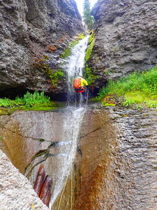
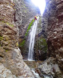
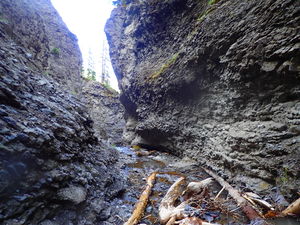
R7: 100' off log in center stream. R7 drops through a narrow passage in a spectacular formation of a black conglomerate layer
R8-R9 are in quick sequence before the biggest rappel in the canyon:
R8: 40' rope for a 20' slippery drop off a log jam
It is possible to exit a gully to the north between R8 and R9.
R9: 40' rope for a 20' slippery drop off another log jam
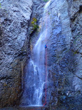
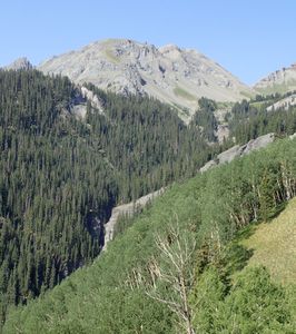
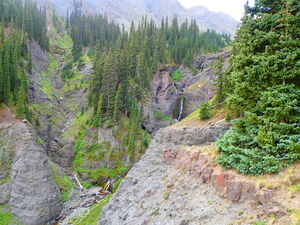
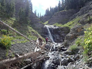
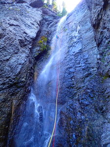
R10: 130' from a medium pine on CR. This is the waterfall seen from earlier in the approach.
R11: 100' rope off a deadman rock stack anchor over a three stage rappel followed by:
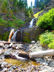
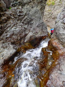
R12: 30' off a log to protect a slippery but pretty nuisance rappel.
Exit[edit]
The Oak Creek Trail nears Oak Creek before the official start of Upper Oak Creek. Gain the trail by using game trails on the North Side. Alternatively, continue downstream and gain the trail at the top of Upper Oak Creek. If not adding in any more of the Oak Creek descent, walk the trail 2.0 miles and -2050 ft back to the 4WD trailhead.
Red tape[edit]
No red tape. Be careful and more importantly be thoughtful. Accidents happen, but this is a long ways over difficult terrain to summon the volunteers in the local search and rescue.
Beta sites[edit]
Trip reports and media[edit]
2018-07-29: Descent and photos by Ira Lewis and Lisa Purdy.
This canyon was descended previously by other teams of explorers.
