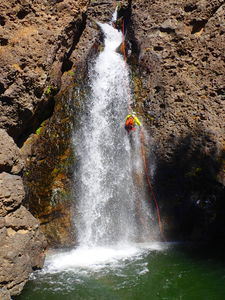
Piedra River (East Fork)
| Rating: | |||||||||||||||||||||||||||||||
|---|---|---|---|---|---|---|---|---|---|---|---|---|---|---|---|---|---|---|---|---|---|---|---|---|---|---|---|---|---|---|---|
| | Raps:2, max ↨120ft
Red Tape:No permit required Shuttle:None Vehicle:Passenger Rock type:Volcanic Tuff, Conglomerate | ||||||||||||||||||||||||||||||
| Location: | |||||||||||||||||||||||||||||||
| Condition Reports: | |||||||||||||||||||||||||||||||
| Best season: | Aug-Oct
|
||||||||||||||||||||||||||||||
| Regions: | |||||||||||||||||||||||||||||||
Introduction[edit]
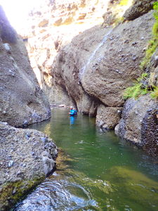
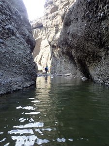
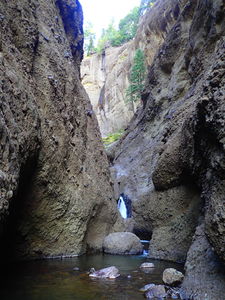
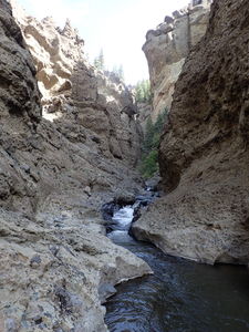
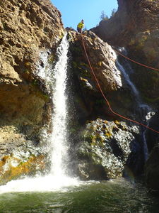
Piedra Falls is a destination waterfall in the Pagosa Springs area. This area is visited by many people on summer weekend days given the short flat hike from the trailhead. The water level is usually significant, but at the end of the season in a drought year this is a pleasant and pretty half day adventure. While there are only two rappels, this is a spectacular conglomerate gorge full of down climbing, clear water, and several deep pools.
Check the water level by hiking to the falls themselves to gauge the safety of your descent. The water all funnels through the final rappel and several easy down climbs in the canyon may be much more challenging in higher flow. All photos in this beta are from the end of season in 2018, a drought year with low winter snow pack.
This waterfall is a confirmed nesting site for the Black Swift, listed as a Species of Special Concern by the U.S. Forest Service and U.S. Fish and Wildlife Service. The swifts migrate from Brazil annually to occupy this site from late May until late September, raising a single chick. The swifts are susceptible to disturbance from human activities near their nests, including noise and movement, direct disturbance or destruction of their nests, and trampling of vegetation. Canyoneering/climbing at this waterfall during the Black Swift nesting season (late May - late September/first frost) is likely to cause direct damage to nests, eggs, and young, and disturb adult swifts enough to cause them to abandon their nest and offspring. Click here for more information on the Black Swift.
Approach[edit]
From the parking lot, head north toward the falls, but just after the National Forest named trail sign for Piedra Falls TR 671 and Piedra Falls, veer right over the East Fork of the River on a culvert and traverse up the wide road and then uphill to the East for a quarter mile, turning NE uphill as the ground steepens and aim to intersect a really great well worn trail that has been maintained but is not on any maps. At the time of this beta, the trail was not retraced to its source. Please update the kml track if you locate the start of this trail and follow it through the woods. The start is suspected to be just to the left after crossing the culvert, staying to the north of a tributary ditch.
The trail switchbacks up the hill through the pine forest to the East of the Piedra River East Fork. The trail continues quickly to an easy access above the technical and interesting sections. Before the fourth tributary creek crossing which is the biggest of all the tributaries, depart the trail to the left and hike social/game trails to the river itself.
Descent[edit]
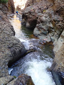
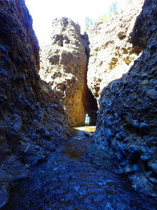
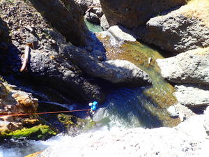
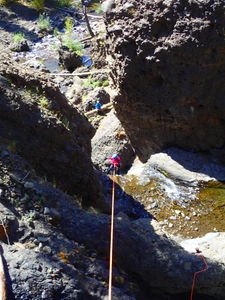
Stream walk on abundant boulders and swim through several pools. The gorge narrows a few times with tall walls on both sides.
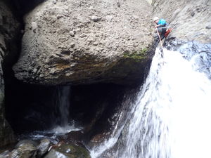
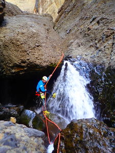
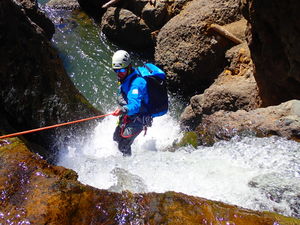
R1: 35ft rope from a rock pinch CL for a 15ft waterfall. It would also be possible to rappel into the hole on CR at this location under the huge boulder obstacle.
R2: 120ft Final rappel is two stage from a rock CR, keeping the anchor out of sight of the tourists and providing a straight pull from the viewing rocks below.
Exit[edit]
Walk the half mile on easy trails DCR back to the parking area.
Red tape[edit]
Beta sites[edit]
Trip reports and media[edit]
Late Sept 2018 drought year: Ira Lewis, Lisa Purdy, and Andrew Humphreys documented this descent. We found a recent anchor at R2 either from another canyoning team or from ice climbers in winter.

