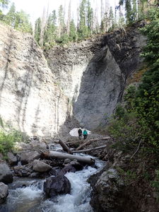
Quartz Creek (San Juans)
| Rating: | |||||||||||||||||||||||||||||||
|---|---|---|---|---|---|---|---|---|---|---|---|---|---|---|---|---|---|---|---|---|---|---|---|---|---|---|---|---|---|---|---|
| | Raps:12, max ↨180ft
Red Tape:No permit required Shuttle:None Vehicle:4WD - High Clearance Rock type:Volcanic Ash | ||||||||||||||||||||||||||||||
| Location: | |||||||||||||||||||||||||||||||
| Condition Reports: | 30 Aug 2025
"The approach can be comfortably completed in 2.5 hours and was not as bad as expected. Most of the raps were much shorter than listed, although we did |
||||||||||||||||||||||||||||||
| Best season: | Jul-Sep
|
||||||||||||||||||||||||||||||
| Regions: | |||||||||||||||||||||||||||||||
Introduction[edit]
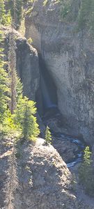
A high alpine descent with some narrow hallways and interesting narrows in a chossy tuff layer.
While this is technically an unnamed tribtuary of Quartz Creek on map layers, this canyon descent is listed as Quartz Creek because it utilizes the "Quartz Creek Trail" and Quartz Creek itself doesn't form equivalent waterfalls.
Approach[edit]
Driving:
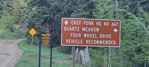
From US Hwy 160, drive 9 miles on East Fork Rd (USFS 667), past parking for Silver Falls to a turn off to the south for Quartz Creek Rd (USFS 684).
While the East Fork Road is listed as 4WD / HC, depending on road conditions, AWD vehicles with good tires or 2WD / HC may be just fine. The Quartz Creek Rd however, requires 4WD/HC and starts by crossing the East Fork of the San Juan River.
Continue another 3 miles to the Quartz Creek TH.
Hiking:
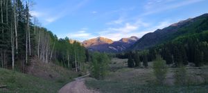
Hike south for 5.2 miles, +2,280'. The trail parallels Quartz Creek with a gentle uphill grade for 3 miles to the bottom of the technical section.
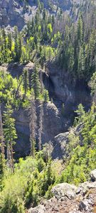
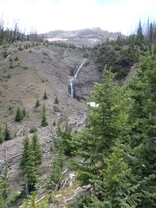
Cross the creek to the south and proceed uphill in a gully to the right of a prominance. A view of R12 will soon come into view. The trail is identifiable throughout and follows the old USGS trail some of the time and a baselayer for Gaia/Trails Illustrated trail some of the time and neither of those maps the rest of the trail. Download the GPS file.
Once the saddle is reached, descend downhill a short ways into the larger creek and proceed downstream. Downstream leads directly to R3, but another two rappels could be done by climbing a short hill. Trend right as soon as possible to go after R1 and R2. Follow a game trail initially to hike up the hill on rappeller's left.
Descent[edit]
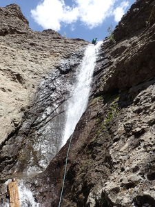
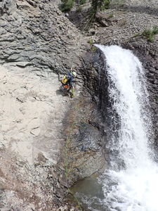
R1: 170' from a small tree on Canyon Right
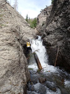
R2: 120' from a log in the middle of the stream
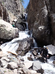
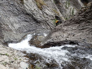
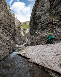
Streamwalk a short ways downstream to the narrows containing R3 and R4.
R3: 25' from a slung rock on Canyon Right into the narrows
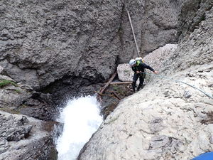
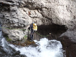
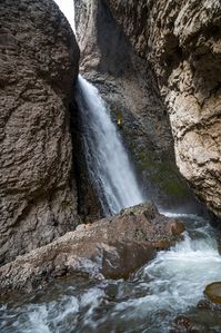
R4: 90' from a slung rock on Canyon Left for the 50' waterfall
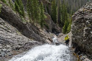
The next sequence of three rappels starts shortly after a tributary comes in from the right.
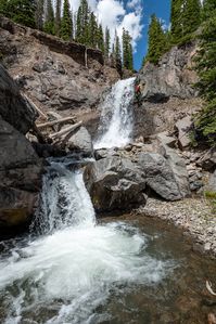
R5: 70' from a tree on Canyon Left
R6: 35' from a tree on Canyon Left
R7: 40' from a tree on Canyon Left
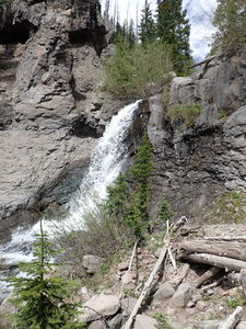
R8: 160' from a tree high on Canyon Right. An anchor that worked was to use a tiny tree on the Canyon Right ridge as the anchor with a fiddle stick and wrap the rappel line around the blocky chossy wall on Rappeller's Left of the flow. The fiddle stick line was then thrown to someone who had been already completed the rappel.
R9: 65' from a tree up the slope on Canyon Left below R8
Another tributary enters from Canyon Right.
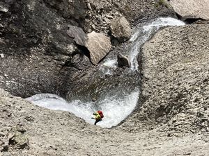
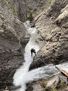
R10: 180' from a tree on Canyon Left for several short multistage drops
R11: 30' from a small tree on Canyon Right next to a rooster tail in the creek
Continue down a narrow corridor. The canyon opens a bit and an escape back to the approach trail might be had to Canyon Left.
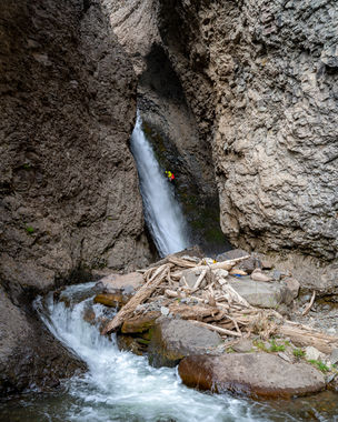
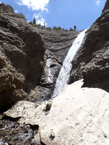
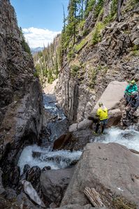
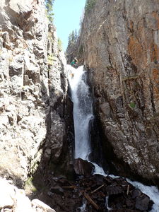
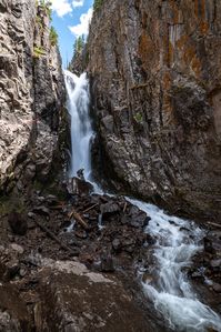
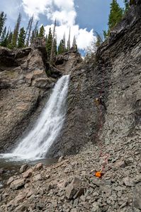
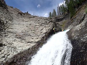
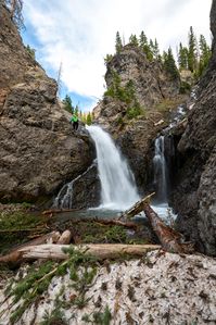
R12: 150' from a small pine stump for 100' waterfall. Because the geology is chossy and blocky and the waterfall turns abruptly, the rope pull on R12 is challenging. If a rope is stuck, it is possible to upclimb the gully on Canyon Right back to the anchor immediately downstream from the R12 bottom alcove. This may not be a good candidate for a fiddlestick because high flow would batter/pummel the fiddlestick line.
Continue downstream through the final high-walled section and reconnect with the approach trail.
Exit[edit]
Follow the approach trail 3.05 miles -890' back to the trailhead.
Red tape[edit]
Beta sites[edit]
Trip reports and media[edit]
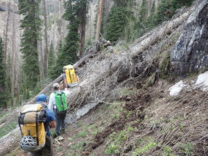
4Jun2022: Identified by Andrew Tanasescu; Explored by Ira Lewis, Wayne Herrick, Matthew McArthur, Andrew Tanasescu & Kati Wright. Many downed trees were across the trail -- not insurmountable, but a slow down for the approach. Higher water in early June caused a slower descent. June 2022 was a low snowpack year (16% average). Generally, July may be a better month to start planning a trip for Quartz.
