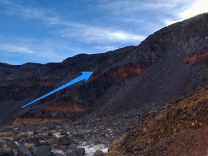
Rainbow Canyon
| Rating: | |||||||||||||||||||||||||||||||
|---|---|---|---|---|---|---|---|---|---|---|---|---|---|---|---|---|---|---|---|---|---|---|---|---|---|---|---|---|---|---|---|
| | Difficulty:3A I (v3a1 I) Raps:3, max ↨150ft
Red Tape:No permit required Shuttle: Vehicle:Passenger | ||||||||||||||||||||||||||||||
| Location: | |||||||||||||||||||||||||||||||
| Condition Reports: | |||||||||||||||||||||||||||||||
| Best season: | Nov-Mar (avg for this region)
|
||||||||||||||||||||||||||||||
| Regions: | |||||||||||||||||||||||||||||||
Introduction[edit]
A nice intro to a cairn anchors, a quick canyon with a few longer fun drops. The exit hike takes some effort at the end, but it’s worth it.
Most of the canyon can be escaped at any point so it is a great beginner canyon if something spooks you.
Approach[edit]
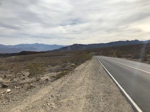
Park near the 30 mph turn sign park
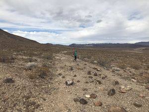
Walk north up the road for a short while until you turn right down an old dirt road with a bunch of rocks dispersed over it. Walk down this dirt road past a bunch of old rusted garbage.
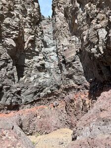
About a mile down you turn right on a wash and drop into the canyon mouth.
Descent[edit]
First down climb down a smooth slide can easily be avoided LDC around to side and entering near the first big rappel.
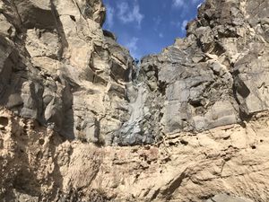
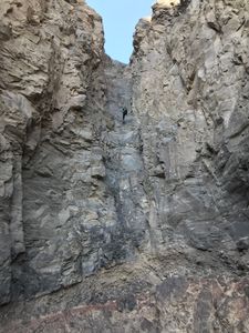
R1 - 130 ft off a slung boulder or chockstone depending on last party.
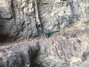
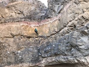
R2 - 150 ft rappel off two bolts to above a pothole with one R-rated move on traverse. Pothole is 30 ft deep.
UPDATE: as of 4/14/2024 the pothole has completely filled in:
R3 - < 100 ft sling a massive boulder or use cairn anchor.
Exit[edit]
Then we hiked down a quarter mile and took a ridge up and back to the car.
Red tape[edit]
Beta sites[edit]
- Nov. 2022 Descent
 BluuGnome.com : Rainbow Canyon
 Chris Brennen's Adventure Hikes (Southwest) : Rainbow Canyon
 Super Amazing Map : Rainbow Canyon
