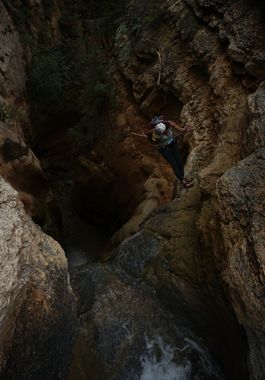
Rattlesnake Creek (Dixie National Forest)
Jump to navigation
Jump to search
| Rating: | ||||
|---|---|---|---|---|
| | Difficulty:3A III (v3a1 III) Raps:1, max ↨65ft
Red Tape: Shuttle:Optional 45 min Vehicle:Passenger | |||
| Start: | ||||
| Parking: | ||||
| Shuttle: | ||||
| Condition Reports: | 4 Aug 2022
"Shorter loops can be done from the bottom of the gorge with a single vehicle, but we decided to drop a shuttle and hike Rattlesnake Creek Trail which |
|||
| Best season: | ||||
| Regions: | ||||
Introduction[edit]
Though the defined route involves quite a bit of hiking and offers very little in the way of technicality, descending into Ashdown Gorge via Rattlesnake Creek is an excellent way for canyoneers to experience the immense beauty of this area.
