Scoggin's Draw
| Rating: | |||||||||||||||||||||||||||||||
|---|---|---|---|---|---|---|---|---|---|---|---|---|---|---|---|---|---|---|---|---|---|---|---|---|---|---|---|---|---|---|---|
| | Difficulty:3B IV (v3a2 IV) Raps:4-6, max ↨90ft
Red Tape:No permit required Shuttle:None Vehicle:4WD - High Clearance Rock type:Sandstone | ||||||||||||||||||||||||||||||
| Location: | |||||||||||||||||||||||||||||||
| Condition Reports: | |||||||||||||||||||||||||||||||
| Best season: | Sep-Oct
|
||||||||||||||||||||||||||||||
| Regions: | |||||||||||||||||||||||||||||||
Introduction[edit]
Scoggin's Draw is the furthest and longest of these neighboring canyons north of the Yampa River.
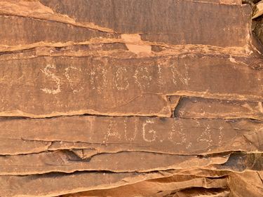
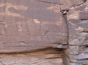
Scoggin's Draw is named for the inscription at the bottom of the last rappel.
The canyons north of the Yampa River accessed from Red Rock Canyon are big days in a wonderfully remote location. Plan for September or October when temperatures are better, the Yampa River is lowest and the Peregrine Falcon closure north of the river is over.
Approach[edit]
Drive East of Dinosaur, CO turning north at the Canyon Visitor Center onto Harper's Corner Rd for 25.5 miles on pavement. Along the way, a bathroom is available at the Plug Hat Butte parking and dispersed camping is available down Blue Mountain Road.
Late arrivals beware the many deer and black cows on the open range along Harper's Corner Road.
Turn right toward Echo Park at Sand Canyon Road, which is easily passable with 4WD HC in dry conditions. Drive Sand Canyon Rd 7.5 miles to the intersection with Yampa Bench Road. Echo Park is to the Left. Turn right on Yampa Bench Road for 3.9 miles. Yampa Bench Road is also easily passable with 4WD HC in dry conditions to where it intersects Red Rock Canyon.
Park next to Yampa Bench Road just before Red Rock Canyon. Kelsey details a few other approaches and parking options in his 2nd Edition Technical Slot Canyon Guide to the Colorado Plateau.
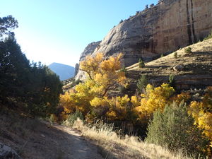
Hike: 1.9 miles -400' down Red Rock Canyon to the Yampa River. The north side of Red Rock Canyon seems to offer better cattle trails to follow.
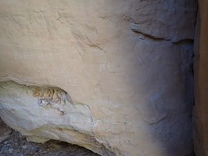
At the end of Red Rock Canyon just before a barbed wire cattle fence are some petroglyphs in a sandstone alcove on the north side of the canyon with an inscription from Bert Hadfield in 1919.
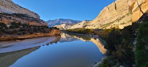
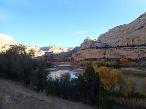
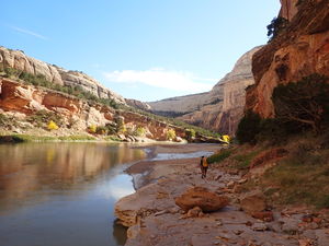
Round the corner to the north after Red Rock Canyon opens on the west side of the Yampa River following worn cattle trails. The bench above the river provides quicker travel.
As the bench runs into a tall sandstone cliff and the Yampa turns to the east, either:
- hug the west bank to avoid a full swim, but be careful of thick poison ivy or
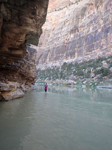
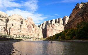
- swim directly across the river, which is too deep to touch (as of 2022 and 2023). Inflate dry bags for floatation.
Note this location on the map to most easily transition between the river bank and quicker trails on the bench. On return, if staying low by the river too long another upstream swim or a short unprotected cliff climb will be required.
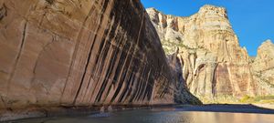
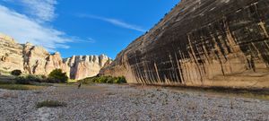
Round the corner back to the West toward Tiger Wall, a landmark black-striped tall north-facing wall. Cross the Yampa to the north side only knee deep (as of 2022 and 2023) and aim uphill toward the key saddle.
If backpacking and preparing to overnight to do more canyons in this area north of the Yampa, camp options exist on the South side of the Yampa before Tiger Wall or across the Yampa North of Tiger Wall.
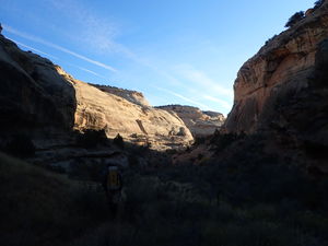
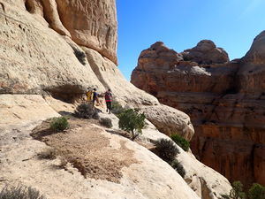
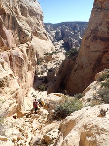
Trend uphill for +900' first in a shallow canyon, cross Tiger Wall Canyon, then proceed up slickrock. A few upclimb locations are noted on the interactive kml map on this page. Round a final corner on a high ledge above the Key Saddle and downclimb in a gully just west of the Key Saddle, cross it and proceed downhill on the opposite side into Outlaw Canyon. Go north under the sandstone walls when possible. Continue up Outlaw Canyon, upclimbing a couple times to gain the ridge to the North and trend Northwest to the drop in for Scoggin's Draw.
Descent[edit]
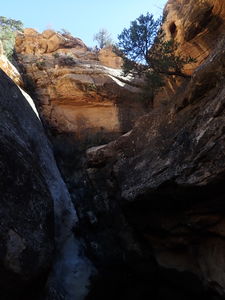
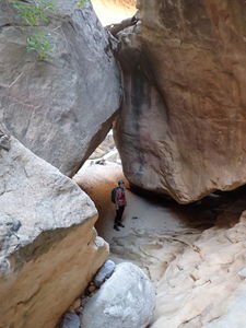
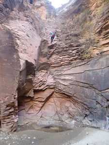
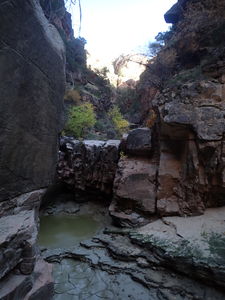
Once in the drainage, several dryfalls can each be bypassed on Canyon Right.
R1: 75' from a tree on Canyon Right
A ways downstream, a tributary comes in on Canyon Right.
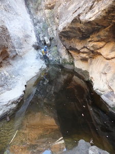
optional R2: 35' from a tree on Canyon Right to bypass a downclimb into water
R3: 75' from a tree on Canyon Left
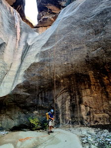
R4: 90' from a deadman
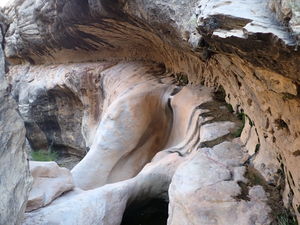
Outlaw Arch is on the south side of the canyon above the top of R5.
R5: 90' from a short juniper on Canyon Right on the rim of a brief limestone layer
The base of R5 has an inscription by Scoggin on Aug 8, 1941.
optional R6: 35' from a tree on Canyon Left CL or Down Climb on Canyon Right
A final 15' downclimb is the final obstacle before arriving at the Yampa River. Beware of some avoidable poison ivy.
Exit[edit]
Begin the upstream wade in the Yampa for 1.5 miles to return to the Tiger Wall, then retrace the path for the remaining 3.7 miles back to the Red Rock Canyon Trailhead.
Red tape[edit]
The North side of the Yampa is closed to access March 1 - August 15 for Peregrine Falcon nesting. This coincides with the Yampa being in a better state for crossing in the Fall avoiding the higher river levels during Spring melt.
A National Park's pass or a Dinosaur National Monument entrance fee is required.
Beta sites[edit]
Yampa River Stream Gauge at Deerlodge Park, CO - 09260050
https://waterdata.usgs.gov/monitoring-location/09260050/#parameterCode=00065&period=P7D
 Super Amazing Map : Scoggin's Draw
 SummitPost.org : Scoggin Draw (Outlaw Arch Canyon)
p24 Kelsey's 2nd Edition Technical Slot Canyon Guide to the Colorado Plateau
Trip reports and media[edit]
15Oct2022: beta, map and photos updated by Ira Lewis on a trip with Eva Vaitkus and Wayne Herrick.
