Silver Falls (Pagosa Springs)
| Rating: | |||||||||||||||||||||||||||||||
|---|---|---|---|---|---|---|---|---|---|---|---|---|---|---|---|---|---|---|---|---|---|---|---|---|---|---|---|---|---|---|---|
| | Raps:3, max ↨165ft
Red Tape:No permit required Shuttle:None Vehicle:High Clearance Rock type:Conglomerate | ||||||||||||||||||||||||||||||
| Location: | |||||||||||||||||||||||||||||||
| Condition Reports: | 6 Jun 2025
"Incredible waterfall. The views are breath taking. The trip report video is at:. https://vimeo.com/1093521761 |
||||||||||||||||||||||||||||||
| Best season: | Jun-Oct
|
||||||||||||||||||||||||||||||
| Regions: | |||||||||||||||||||||||||||||||
Introduction[edit]
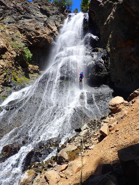
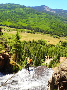
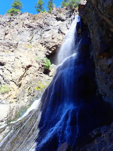
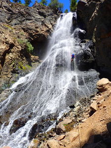
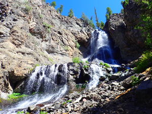
Silver Falls is 10min from the parking lot down the East Fork of the San Juan north of Pagosa Springs. It's a single big drop waterfall with a few short warm ups upstream.
This waterfall is a confirmed nesting site for the Black Swift, listed as a Species of Special Concern by the U.S. Forest Service and U.S. Fish and Wildlife Service. The swifts migrate from Brazil annually to occupy this site from late May until late September, raising a single chick. The swifts are susceptible to disturbance from human activities near their nests, including noise and movement, direct disturbance or destruction of their nests, and trampling of vegetation. Canyoneering/climbing at this waterfall during the Black Swift nesting season (late May - late September/first frost) is likely to cause direct damage to nests, eggs, and young, and disturb adult swifts enough to cause them to abandon their nest and offspring. Click here for more information on the Black Swift.
Approach[edit]
Road 667 is "high clearance recommended" but can be passed to the start of the Silver Falls hike in good conditions using a passenger vehicle.
In spring, the road will likely have muddy sections and multiple shallow creek crossings that may warrant 4x4.
Park at the Silver Falls sign (a vertical 3" wide brown national forest service plastic post with stickers for letters. Hike through the cattle guard directly to the North or past the outhouse next to the locked cabin and outhouse just a hundred yards to the West, then 10min up to the falls.
Once at the base of the falls, hike Rappeller's Right up the established use trails to gain an overlook over the top of the falls.
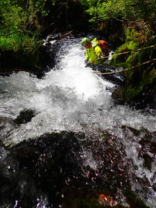
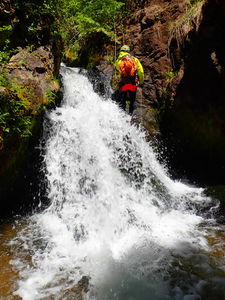
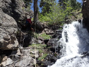
Either shortcut directly to rappel the big drop by rigging a releasable off a tree by the overlook to drop to the creek, or follow game trails upstream a few more minutes to add two more short drops in the creek.
Descent[edit]
Exit[edit]
Hike 10min back to your car.
Red tape[edit]
Note that Silver Falls is on National Forest Land, but that all other land in this vicinity is Private Ranch land after the convenient roadside camping spots marked on the map.
Beta sites[edit]
Trip reports and media[edit]
Background[edit]
First known summer descent and photos by Ira Lewis and Lisa Purdy
