Skyline
| Rating: | |||||||||||||||||||||||||||||||
|---|---|---|---|---|---|---|---|---|---|---|---|---|---|---|---|---|---|---|---|---|---|---|---|---|---|---|---|---|---|---|---|
| | Difficulty:3A III (v3a1 III) Raps:3, max ↨45ft
Red Tape: Shuttle: Vehicle:4WD - High Clearance Rock type:Sandstone | ||||||||||||||||||||||||||||||
| Start: | |||||||||||||||||||||||||||||||
| Parking: | |||||||||||||||||||||||||||||||
| Condition Reports: | 2 Jun 2023
"Spent a lot of time meandering about and enjoying the views. Didnt see a single person beyond chicken point. Replaced R1 and R3 webbing. R2 & R3 coul |
||||||||||||||||||||||||||||||
| Best season: | Sep-May, After rains
|
||||||||||||||||||||||||||||||
| Regions: | |||||||||||||||||||||||||||||||
Headline text[edit]
Introduction[edit]
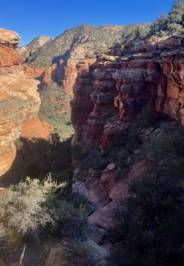
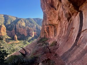
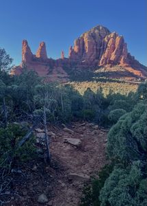
A rugged adventure into a remote and lightly trafficked area of Sedona with incredible scenery, optional four-wheeling, route finding, and scrambling followed by a descent via a mini-canyon that can be completed with a single 100’ rope. Definitely qualifies as what the kids these days are calling a Technical Adventure Route (TAR).
Approach[edit]
Drive Broken Arrow 4x4 trail to Chicken Point.
Alternatively, if you don’t meet the 4x4 criteria or you REALLY like hiking, you may park at the Broken Arrow TH at the end of Morgan Road or at the Chapel TH and hike 1.2 miles or 1 mile, respectively, to Chicken Point. Note that at certain times Chapel Road is gated before the TH, and parking further down the road would add another 1/4 mile.
From Chicken Point, take Little Horse Trail down to Jim Bryant Trail. Follow Jim Bryant about 1.6 miles as it first weaves through a dense forest of cypress, then crosses the main wash and traverses higher along the slickrock. The trail will become progressively less defined as you go, and cairns may appear intermittently - best to follow the KML track.
Turn off the trail and pick up the main wash for a short distance, then follow a side drainage (technically that of One Trick Pony) until it opens to a wall of red rock. Scramble up to the base of the cliffs above.
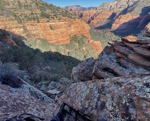
Ascend the steep cliffside using caution around loose rock and avoiding trampling sensitive flora where possible. A class 4 climb guards the ridgeline.
Once you’ve gained the ridge and taken in the views, continue following a band of rock as it curves around to meet a small drainage.
Consider taking a short 0.1 mile spur to an outlook that offers views to the east of Courthouse, Bell Rock, and Cathedral.
When ready, enter the small drainage and follow it to the start of the canyon.
Descent[edit]
R1: 45’ off boulder. Two-stage.
R2: 35’ off rock pinch.
R3: 40’ off rock pinch.
Exit[edit]
Follow the watercourse back to the main wash and return along Jim Bryant Trail.
Red tape[edit]
Beta sites[edit]
Trip reports and media[edit]
Background[edit]
Established 11/21/2021


