Snake River (North Fork) (I-70 Mountains)
| Rating: | |||||||||||||||||||||||||||||||
|---|---|---|---|---|---|---|---|---|---|---|---|---|---|---|---|---|---|---|---|---|---|---|---|---|---|---|---|---|---|---|---|
| | Raps:1, max ↨60ft
Red Tape: Shuttle:None Vehicle:Passenger | ||||||||||||||||||||||||||||||
| Start: | |||||||||||||||||||||||||||||||
| Parking: | |||||||||||||||||||||||||||||||
| Condition Reports: | |||||||||||||||||||||||||||||||
| Best season: | Jul-Sep
|
||||||||||||||||||||||||||||||
| Regions: | |||||||||||||||||||||||||||||||
Introduction[edit]
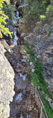
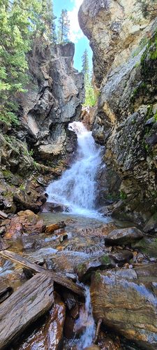
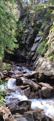
The short gorge of North Fork of the Snake River is a good practice canyon with interesting narrows above Snake River Falls.
Conditions are generally good in July and water flow tapers off in August.
Stream gauge: 09047500 SNAKE RIVER NEAR MONTEZUMA, CO
https://waterdata.usgs.gov/co/nwis/uv/?site_no=09047500&PARAmeter_cd=00065,00060
Suggested target of ~6 cfs and "divide the streamflow value by 14" to estimate the cfs at Snake River Falls. Experts may go for more.
Approach[edit]
From I-70, drive over Loveland Pass to the south and by Arapaho Basin Ski Area at the bottom of the pass. Park on a pullout on the left (south) side of the road soon after the ski area and before a yellow sign that says "Runaway Truck Ramp 2.5 Miles".
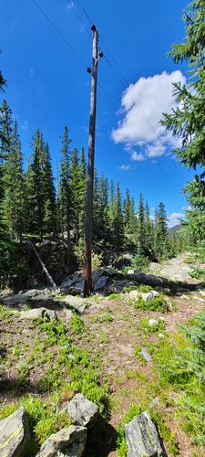
Walk downhill for a minute from the pullout on well-worn social trails to the edge of the North Fork of the Snake River. Turn left (upstream) and drop in by a large telephone pole.
Descent[edit]
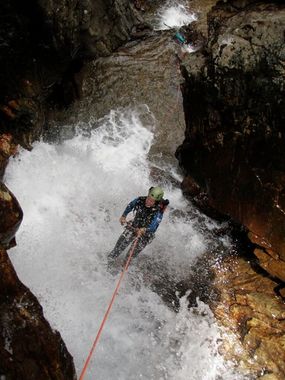
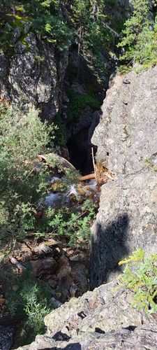
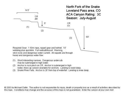
Hike the narrows downstream a short distance to Snake River Falls.
R1: 60' from a natural anchor or bolts on Canyon Right
pic|:NForkSnakeColorado1.jpg ~ Snake River Falls}}
Exit[edit]
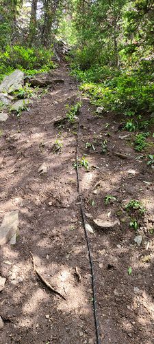
After Snake River Falls, the canyon widens. As of August 2022, a fixed line was tied to a tree up a steep dirt slope just downstream on Canyon Right from Snake River Falls.
Hike up one of many social trails on the north side of the canyon back to the car.
