South Elk Creek
| Rating: | |||||||||||||||||||||||||||||||
|---|---|---|---|---|---|---|---|---|---|---|---|---|---|---|---|---|---|---|---|---|---|---|---|---|---|---|---|---|---|---|---|
| | Raps:5, max ↨115ft
Red Tape:No permit required Shuttle:Required 11mi Vehicle:Passenger Rock type:Rhyolite | ||||||||||||||||||||||||||||||
| Location: | |||||||||||||||||||||||||||||||
| Condition Reports: | |||||||||||||||||||||||||||||||
| Best season: | Jun-Sep
|
||||||||||||||||||||||||||||||
| Regions: | |||||||||||||||||||||||||||||||
Introduction[edit]
While South Elk Creek boasts many moderate height waterfalls and several sections of great streamwalking on flat bedrock, as a canyoning descent South Elk Creek has a lot of thick willows in the streamcourse and long distances between rappels. This is a lengthy endeavor and feels like it.
Approach[edit]
Driving:
Set the lower car at the Elk Creek Trailhead (37.11969, -106.37678). Drive up toward Cumbres Pass (CO 17) and turn off the highway toward the Red Lakes Trailhead (37.08793, -106.44918). Total dirt and pavement is 11 miles.
Hiking:
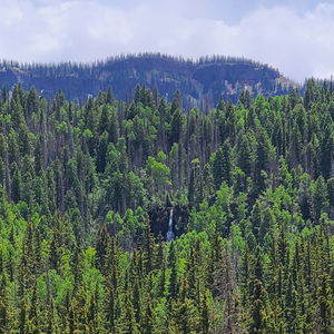
Hike the Red Lakes Trail 1.15 miles, then depart the trail when it nears South Elk Creek and follow the creek downstream heading East for another 0.45 miles before reaching R1: Upper South Elk Creek Falls.
Descent[edit]
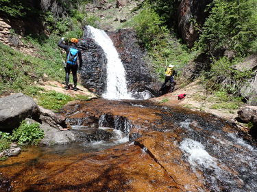
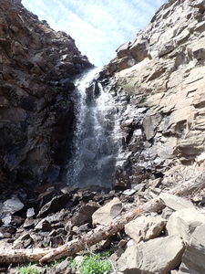
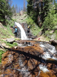
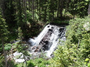
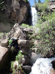
R1: 115' Upper South Elk Creek Falls from a tree on Canyon Left, then downclimb the breakdown below the falls on this cliffband. An anchor on Canyon Right would be a better line to be directly in the flow.
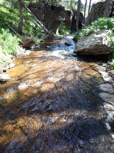
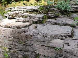
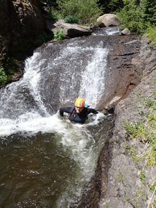
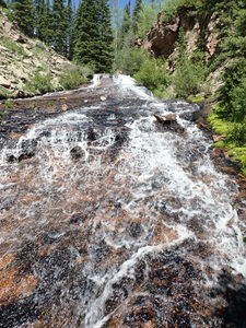
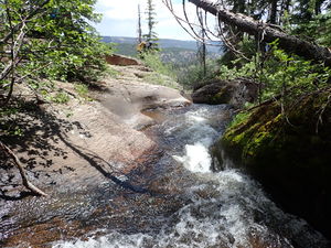
Hike 0.7 miles downstream to R2. Approaching R2, the geology layer changes from Treasure Mountain Tuff to a mixture that includes Adesite/Rhyolite, which is similar to the Clear Creek Confluence route in the Rio Grand Headwaters to the north. This layer looks like Dakota Sandstone and forms really great walkways in the creek that are mostly flat and undulating with water erosion, the greatest example of which is the very low angle slide Doug Scott calls out on his page as 40' and 200' long.
R2: 25' from a tree on Canyon Left
R3: 25' from a tree on Canyon Left
Bypass 25' falls
Wide Low Angle Slide
Bypass 15' falls
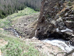
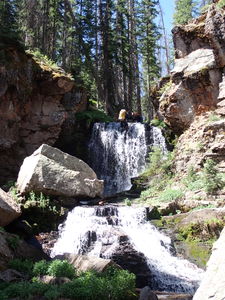
R4: 80' Middle South Elk Creek Falls from a tree on Canyon Left
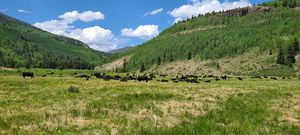
R4 ends in the longest blocky breakdown scree field, which transitions into a wide meadow.
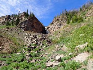
Upon reaching the meadow continue downstream for another 0.85 miles of some easy walking through open forest and some tight, steep hillsides. When South Elk Creek begins to round the corner, either hike down a break in the cliff (the 4.2 mile -1430' stats reflect this) or reconnect with South elk Creek for the final waterfall, Lower South Elk Creek Falls.
R5: approx 40' Lower South Elk Creek Falls See Doug Scott's writeup.
Exit[edit]
Once down to the Elk Creek Valley, continue 0.15 miles to the Elk Creek Trail, walking across Elk Creek.
Hike 2.7 miles on the Elk Creek Trail back to the lower shuttle parking.
Red tape[edit]
Beta sites[edit]
http://www.dougscottart.com/hobbies/waterfalls/southelkcreek.htm
Trip reports and media[edit]
12Jun2022: explored from the top as a canyon descent by Ira Lewis, Dan Kinler and Wayne Herrick
