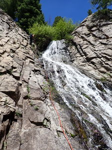
Squaretop Falls
| Rating: | |||||||||||||||||||||||||||||||
|---|---|---|---|---|---|---|---|---|---|---|---|---|---|---|---|---|---|---|---|---|---|---|---|---|---|---|---|---|---|---|---|
| | Raps:3, max ↨350ft
Red Tape:No permit required Shuttle:None Vehicle:High Clearance Rock type:quartz monzonite | ||||||||||||||||||||||||||||||
| Location: | |||||||||||||||||||||||||||||||
| Condition Reports: | |||||||||||||||||||||||||||||||
| Best season: | Jun-Sep
|
||||||||||||||||||||||||||||||
| Regions: | |||||||||||||||||||||||||||||||
Introduction[edit]
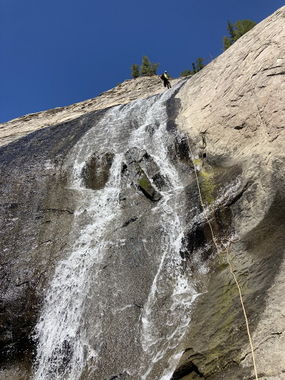
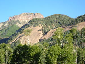
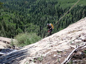
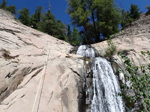
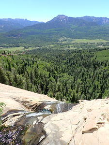
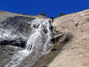
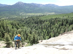
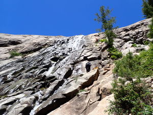
At about 450' vertical elevation loss, Squaretop Falls in the Blanco Basin is the tallest waterfall in the Pagosa region. This cascades at a low angle over a 650' lateral distance. Once the top of the falls is gained, the first few long rappels and view are good and the rock type is more solid than expected given the surrounding volcanic tuff.
However, accomplishing this stunt rappel with a top down approach is a brushy and steep hike with inconsistent game trails.
Approach[edit]
Driving:
Heading south from Pagosa Springs on highway 84, turn East on CR 326 for 12.4 miles. Toward the end, when the road takes a 90 degree right heading due East, cross a bridge over a creek and take an immediate left into the forest on a bumpy short 2-track into the National Forest land. At the end of this road is the trailhead for the Blanco River Trail (573), but about halfway up this road turn left (west) into a small flat parking area in the trees. Park here.
Hiking:
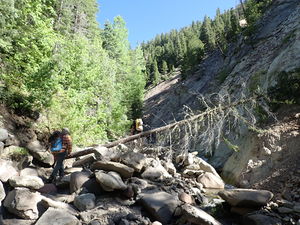
An overgrown road departs the parking location to the South. Follow this as it turns to the West, becomes a foot path and eventually disappears. Continue hiking in and around Squaretop Creek moving upstream. At a tributary with the unnamed watercourse for Squaretop Falls, continue upstream in/around Squaretop Creek (left looking upstream at the confluence).
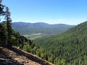
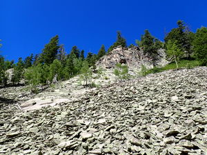
Gain altitude moving up the streambed of Squaretop Creek and pass the larger rock bluffs that would not be possible to hike up on the right. When possible, move steeply up the hillside in the forest, crest the ridge and descend a very loose scree slope above Squaretop Falls.
Descent[edit]
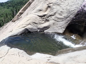
R1: 350' from a large tree on Canyon Right to a pothole (swimmer, avoidable) in the middle of the rock face
R2: 180' from a bolt station on Rappeller's Right (Canyon Left) of the pothole. An unknown low angle sport climbing route seems to exist on Rappeller's Right of the watercourse.
Complete the rappel and downclimb rubble and bash through a small thicket briefly into a thicker forest.
R3: 75' rappel from a tree on Canyon Right near the final unremarkable waterfall
Exit[edit]
A good trail from the base of the falls was not found. Push through the forest and try to intersect the better game trail / trail / overgrown road back to the parking.
Red tape[edit]
Beta sites[edit]
Trip reports and media[edit]
11Jun2022: descended by Ira Lewis, Wayne Herrick and Dan Kinler. Not the first people to be on rope on that rock face.
