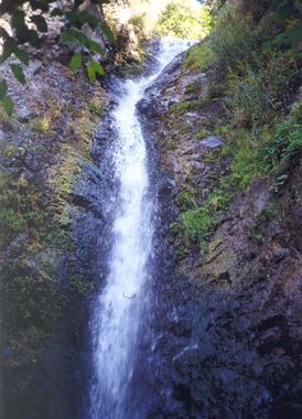
Stoddard Canyon
Jump to navigation
Jump to search
| Rating: | ||||||||
|---|---|---|---|---|---|---|---|---|
| | Difficulty:3A III (v3a1 III) Raps:2-5, max ↨100ft
Red Tape:No permit required Shuttle:None Vehicle:4WD | |||||||
| Location: | ||||||||
| Condition Reports: | ||||||||
| Best season: | ||||||||
| Regions: | ||||||||
GPS data automatically extracted from brennen.caltech.edu, please visit their site for more detailed information.
Introduction[edit]
Approach[edit]
Descent[edit]
Exit[edit]
The exit goes through private property with posted no trespassing signs.
Red tape[edit]
Beta sites[edit]
 Chris Brennen's Adventure Hikes (St Gabriels) : Stoddard Canyon
 Super Amazing Map : Stoddard Canyon
Trip reports and media[edit]
Background[edit]
First known canyoneering descent on Oct.4, 1998, by Troy Sette, Clancy Rowley and Chris Brennen.
