Tank Creek
| Rating: | |||||||||||||||||||||||||||||||
|---|---|---|---|---|---|---|---|---|---|---|---|---|---|---|---|---|---|---|---|---|---|---|---|---|---|---|---|---|---|---|---|
| | Raps:5, max ↨135ft
Red Tape:No permit required Shuttle:Required 90min Vehicle:4WD - High Clearance Rock type:Gneiss, Schist | ||||||||||||||||||||||||||||||
| Location: | |||||||||||||||||||||||||||||||
| Condition Reports: | 28 Jun 2025
"Long shuttle. Long approach with quite a bit of bushwhacking in and out of the stream. Some spots have a considerable amounts of dead-fall. The distan |
||||||||||||||||||||||||||||||
| Best season: | Jul-Oct
|
||||||||||||||||||||||||||||||
| Regions: | |||||||||||||||||||||||||||||||
Introduction[edit]
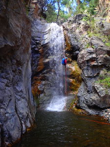
Tank Creek, if accessed from the top, maneuvers through many miles of a pretty creek environment and one rappel, then 4 rappels at the end.
Approach[edit]
Park a return vehicle at Haviland Lake. The camp area costs $8/day, but the boat launch area is free and only a little further. Drive 37 miles on FS Road 682 to the top of Tank Creek. The road condition gets rougher toward the end. HC 4WD will have no problems. HC 2WD can likely get through. A Subaru AWD made it with care. To get an early start, consider camping at this location the night before.
Descent[edit]
Tank Creek is 3.9 miles of stream walking from the drop in to the exit.
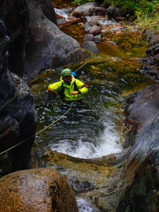
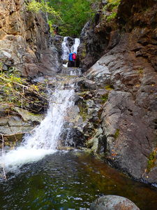
R1: One 25' rappel is located 2/3 down the canyon ending in a waist deep pool. Rock pinch on Canyon Left.
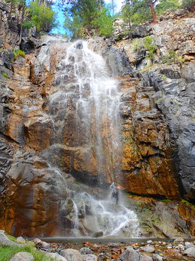
The final rappel sequence runs through the same rock band that Canyon Creek (one drainage south) and Grasshopper Creek (one drainage north) cut through.
R2: 90' three stage rappel followed immediately by R2.
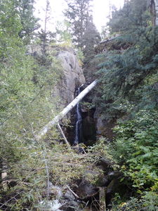
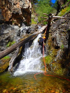
R3: 40' anchored off a huge fallen pine in the center of the creek
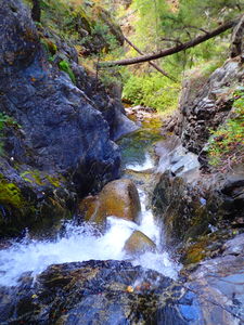
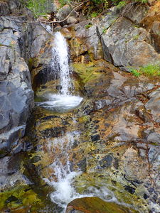
After R2, what looks like a great slide is actually too shallow, downclimb Canyon Right
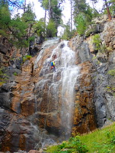
R4: 135' anchored off a pine tree on Canyon Left
R5: 65' off a tree on Canyon Left. This rappel can also be downclimbed on Canyon Left
Continue downstream briefly and exit the creek at the remnants of an old wooden sluice.
Exit[edit]
Aim downhill and left (south) after the last rappel and wooden sluice remnants toward the Animas River. Parallel the tracks until you reach the bridge by the power station 2.6 miles away. Cross the bridge, turn north by the power station building through the field, past the wind sock, and into the forest to gain an old trail up Sawmill Canyon and to Haviland Lake for 2.75 miles. A GPS would be useful.
It is likely, similar to Canyon Creek, that an approach from the bottom is possible, which would not only cut out R1 but also the nice but unremarkable 3.7 miles of stream walking and boulder hopping. This has not been scouted, but a suggested path would be to enter just above R2 from the slope to the south (Canyon Left).
Red tape[edit]
Beta sites[edit]
Trip reports and media[edit]
17Sept2017: First descent. Ira Lewis, Lisa Purdy, Wayne Burns, Frank Phillips
