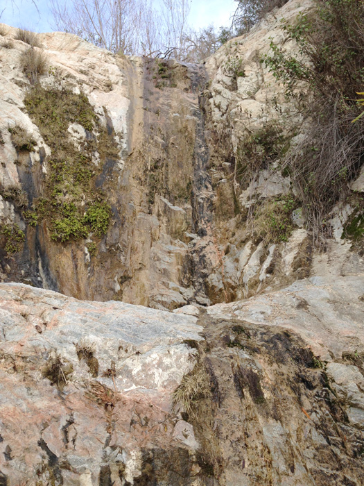
Vogel Canyon (Anicca Fork)
| Rating: | ||||||||
|---|---|---|---|---|---|---|---|---|
| | Difficulty:3B III (v3a2 III) Raps:7, max ↨120ft
Red Tape:No permit required Shuttle:None | |||||||
| Location: | ||||||||
| Condition Reports: | 24 Sep 2022
"Canyon consisted of some steep downclimbs at first followed by a scree slope and then a dense bushwhacking section. Did two short rappels near the end |
|||||||
| Best season: | ||||||||
| Regions: | ||||||||
Introduction[edit]
An infrequently explored region in Big Tujunga
Approach[edit]
Park your car on the south side of Big Tujunga Road here: 34.2875, -118.2250 Look for six 4' tall rusted metal pylons (debris flow moderator) on the north side of the road, the Condor Peak trail starts here.
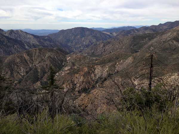
Hike the Condor Peak Trail for approx. 1 hour until you arrive at Middle Fork Fusier Canyon, 34.299487, -118.211881 Fusier Canyon (Middle Fork) At this point you will leave the trail and climb the drainage above the trail up to the ridgeline, to the N/NE. Continue north on the ridgeline until a saddle at 34.30394, -118.20939, drop-in here to the west.
Descent[edit]
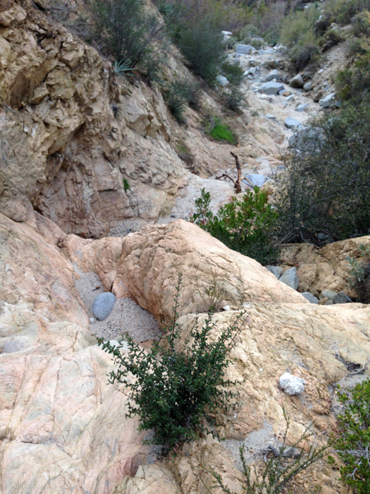
Steep and somewhat exposed drop-in.
R1--70-120', depending on your down-climbing ability. The rap is in a low-angle chute with loose rock.
R2--40' R3--25' R4--45' R5--30' R6--30'
End of Annica Fork, enter Vogel Canyon----
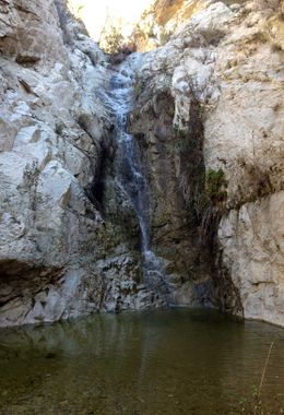
R7--50'
Exit[edit]
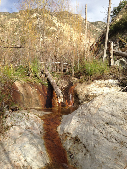
After the only rappel you will encounter in Vogel Canyon (50'), follow the stream until the road (less than 1/4 mile), cross the road to the south side and walk east on Big Tujunga Road back to your vehicle.
