Vogel Canyon (Samsara Fork)
| Rating: | |||||||||||||||||||||||||||||||
|---|---|---|---|---|---|---|---|---|---|---|---|---|---|---|---|---|---|---|---|---|---|---|---|---|---|---|---|---|---|---|---|
| | Difficulty:3B III (v3a2 III) Raps:max ↨55ft
Red Tape:No permit required Shuttle:None | ||||||||||||||||||||||||||||||
| Location: | |||||||||||||||||||||||||||||||
| Condition Reports: | 24 Apr 2022
"Descended the canyon beginning at the drop-in rather than traversing over to a ridge like the KML suggested. The upper reaches were overgrown and not |
||||||||||||||||||||||||||||||
| Best season: | oct-may
|
||||||||||||||||||||||||||||||
| Regions: | |||||||||||||||||||||||||||||||
Introduction[edit]
Quiet and infrequently visited canyoning area of the BIG Tujunga
Approach[edit]
Park your car on the south side of Big Tujunga Road here: 34.2875, -118.2250. Look for a six 4' tall rusted metal pylons (debris flow moderator) on the north side of the road, the Condor Peak trail starts here. Hike the trail for 30-40 minutes until you get to 34.29482, -118.21596 and drop-in anywhere that looks good.
Descent[edit]
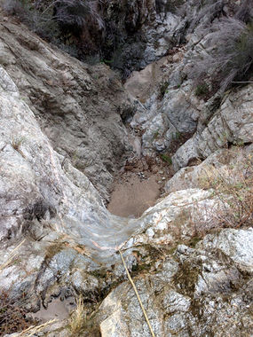
Several non-mandatory rappels in the 20-40' range on the steep and high-angle drop-in.
R1--40' + 20' low angle down-climb
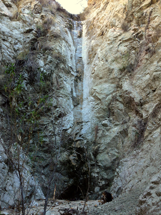
R2--55'
Exit[edit]
After you enter Vogel Canyon continue downstream a short distance until you reach Big Tujunga Canyon Road. Cross the road to the south side and walk east a short distance to your vehicle
Red tape[edit]
Beta sites[edit]
Trip reports and media[edit]
Background[edit]
First canyoneering descent on May 10, 2008 by Bernd Haase, Mark Fitzsimmons, and Jane Fontana. There are multiple gullies one can take to get into this charming single-rappel slot canyon. We chose the one at N34.29033 W118.21714, however since the Station Fire, and the torrential rains of 2023, the landscape may have changed to make a different one easier. we suggest you walk out on the ridge below this drop-in point and have a look before choosing.

