Waterfall Creek (San Juan Mountains)
| Rating: | |||||||||||||||||||||||||||||||
|---|---|---|---|---|---|---|---|---|---|---|---|---|---|---|---|---|---|---|---|---|---|---|---|---|---|---|---|---|---|---|---|
| | Raps:1, max ↨90ft
Red Tape:No permit required Shuttle:None Vehicle:Passenger | ||||||||||||||||||||||||||||||
| Start: | |||||||||||||||||||||||||||||||
| Parking: | |||||||||||||||||||||||||||||||
| Condition Reports: | |||||||||||||||||||||||||||||||
| Best season: | Jul-Sep
|
||||||||||||||||||||||||||||||
| Regions: | |||||||||||||||||||||||||||||||
Introduction[edit]
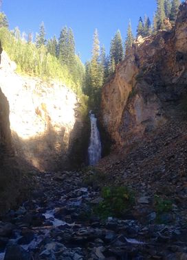
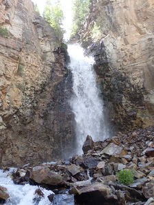
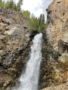
Waterfall Creek Falls is a one-hit wonder. It is a fairly spectacular waterfall that funnels all of this 12 - 15 foot wide leisurely creek into a 2 foot wide spout that pummels down in 3 stages for a 65 foot rappel. From the top of the falls the canyon walls are a hundred feet high and you have a nice view of the hamlet of Ophir down below and across the valley. It is a short route that requires minimal effort with well-worn trails in and out. If you are coming over Ophir Pass from Silverton or Ouray to get to Telluride, or vice versa, this would be a nice one to do on your way.
Approach[edit]
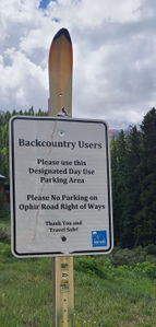
From Telluride, head south on Highway 145 for 7 miles to the left turn for Ophir Road, which is County Road 630. Take Ophir Road 2 miles into the hamlet of Ophir. When you get to town, bear right. Once past the houses there is an open field before the next row of houses that has a dirt spur peel off on the right that is blocked by stones about 50 feet in. Park here. If you have gone to Granite Avenue and those houses you have gone too far. Park at: 37.855546, -107.827123
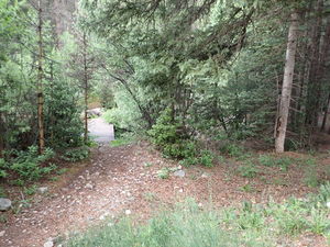
Hike down the dirt road that you parked on to a flowing creek, Howard Fork. Look right to find a pedestrian bridge over the creek. On the other side hike up to an old un-maintained mining road. Go right and hike up this road for about 1 mile. At a fork at 37.851618, -107.830657 stay right. At the 10,160 foot level where it flattens out, drop in on a faint use trail at 37.850605, -107.831295 down to the creek.
Descent[edit]
Since there is but one rappel, a wetsuit is optional. You will get soaked, but a rain shell is probably all you need. Hike down the creek for 15-20 minutes to the obvious drop at 37.851564, -107.832054
R1: 90ft for the ~65ft waterfall from a tree near the edge on Canyon Left for a 3-stage rappel. Very slippery moss all the way down. Nearly vertical but your feet are on the wall the whole way down.
Exit[edit]
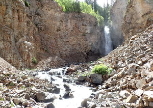
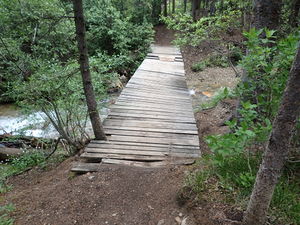
After hiking down the rocky talus field where Waterfall Creek meanders through it, cross a convenient 2-log bridge to get on the trail canyon right. When you get near Howard Fork, head right and up to get to the dirt road you came up on, then left down to the creek level. Bridge will be on left.
Red tape[edit]
Beta sites[edit]
Trip reports and media[edit]
2022-06-24 Despite a very low snowpack year, this north-facing drainage still had a lot of flow. We rappelled from a tree a short distance up the slope next to the falls instead of in them for a longer 85' rappel. The wall is chossy and loose though, so the recommendation would be to wait until later season when the flow is low enough to be in it with this narrow pour off. Ira Lewis and Ryan Humphries
