West Fork of the San Juan (Colorado)
| Rating: | |||||||||||||||||||||||||||||||
|---|---|---|---|---|---|---|---|---|---|---|---|---|---|---|---|---|---|---|---|---|---|---|---|---|---|---|---|---|---|---|---|
| | Raps:14 + 4 slides, max ↨100ft
Red Tape:No permit required Shuttle:None Vehicle:Passenger Rock type:Andesite and Rhyodactic Flows | ||||||||||||||||||||||||||||||
| Location: | |||||||||||||||||||||||||||||||
| Condition Reports: | |||||||||||||||||||||||||||||||
| Best season: | Jul-Sep
|
||||||||||||||||||||||||||||||
| Regions: | |||||||||||||||||||||||||||||||
Introduction[edit]
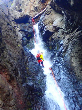
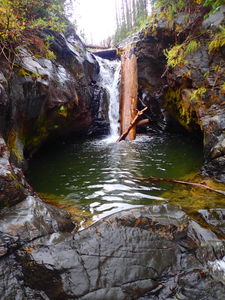
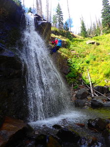
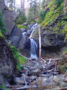
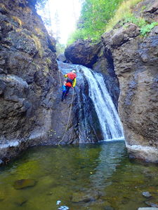
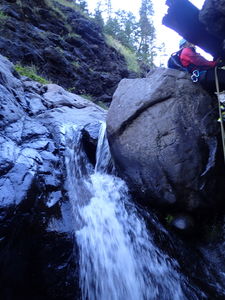
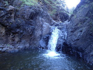
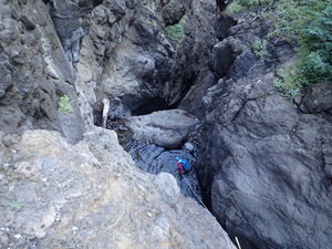
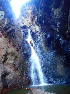
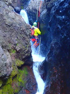
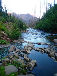
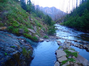
The West Fork of the San Juan River features numerous waterfalls, downclimbing, slides and swims in the remote, high mountain setting of the Weminuche Wilderness.
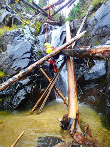
As of the 2022/2023 higher snowpack year, the West Fork of the San Juan has several sections with avalanche debris.
Approach[edit]
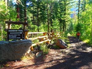
Drive East from Pagosa Springs on Highway 160. Turn left/north on the dirt road turning left toward West Fork Campground and proceed a total of 3 miles to the end. Park at this trailhead.
Hike 5.5 miles from the West Fork Trailhead past camping by Rainbow Hot Springs to where the trail crosses the West Fork of the San Juan River. The hiking trail is well-marked in the first mile to avoid private land.
After crossing the West Fork, the trail steeply climbs up a series of switchbacks to a viewpoint and then parallels the West Fork of the San Juan with an easier contour. Follow this trail another mile and a half before dropping into the entrance above the first waterfall at 10,240'.
Descent[edit]
Some prefer to do this trip as an overnight, camping at Rainbow Hot Springs after hiking in during the afternoon. An early start the following morning leaves plenty of time to complete the canyon and walk back out to the car.
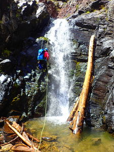
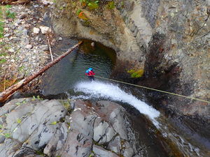
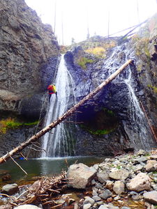
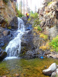
Final Rappel Sequence:
Exit[edit]
Walk through the final narrows a short distance downstream and pick up the trail where it crosses the West Fork.
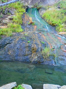
Optional: Stop by the Rainbow Hot Springs on the way - it's only a few minutes off the trail. From a backpacker campsite, descend to the West Fork of the San Juan and walk downstream to find this hot spring flowing out of the wall on the east side of the river.
The Archuletta County Sheriff's office is located in Pagosa Springs West. (970) 731-4799. Nearby Camping And Lodging: San Juan National Forest Campgrounds: Wolf Creek Campground and West Fork Campground (USGS 7.5' topo Saddle Mountain Quadrangle).
There are numerous motels and restaurants in nearby towns of Pagosa Springs and South Fork Colorado. (Submitted by charlybldr on 2004-02-26 at 12:08:52)
Red tape[edit]
Beta sites[edit]
Trail crews clear the West Fork Trail annually in May or June. The number of standing dead trees typically fall during the winter or during microbursts in storms after the 2013 West Fork Complex Fire. The trail really needs to be a highway to make these canyons at the end a success and hopping over downed logs is a sure way to make the day trip harder.
Check trail conditions before hiking the West Fork Trail:
- https://www.alltrails.com/trail/us/colorado/rainbow-hot-springs
- http://pagosatrails.org/portfolio/west-fork-trail-561/
- Pagosa Ranger Station: (970) 264-2268
Trip reports and media[edit]
2018-08-18 photos and kml track added by Lisa Purdy and Ira Lewis. 2018 was a drought year.
