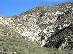
White Ghost Canyon
| Rating: | |||||||||||||||||||||||||||||||
|---|---|---|---|---|---|---|---|---|---|---|---|---|---|---|---|---|---|---|---|---|---|---|---|---|---|---|---|---|---|---|---|
| | Difficulty:3A III (v3a1 III) Raps:3, max ↨90ft
Red Tape: Shuttle:None Vehicle:Passenger | ||||||||||||||||||||||||||||||
| Location: | |||||||||||||||||||||||||||||||
| Condition Reports: | 16 Jul 2023
"Trickle of water throughout. Some stretches of difficult bushwhacking interspersed with smooth white granite and some interesting downclimbs. Used bus |
||||||||||||||||||||||||||||||
| Best season: | October-April
|
||||||||||||||||||||||||||||||
| Regions: | |||||||||||||||||||||||||||||||
Introduction[edit]
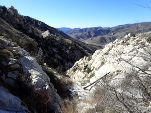
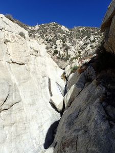
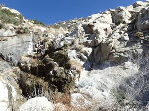
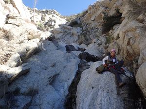
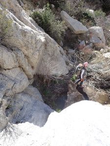
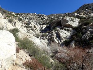
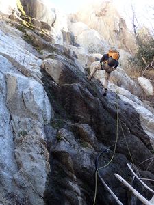
White Ghost Canyon, named for its lovely white granite and tranquil setting, drains the north face of Granite Mountain and merges with Mill Creek not far below Mill Creek Summit. Our initial descent dropped in about half way down the canyon, into what appeared to be the most interesting section. Easy approach and exit on good fire road. The intervening gorge of beautiful white granite contains 3 rappels and numerous fun down climbs - 2 or 3 of these down climbs are nice segments that could also be fun rappels if you're in the mood. Someone in your group should be comfortable with cairn/boulder/natural anchors if you attempt this canyon.
Approach[edit]
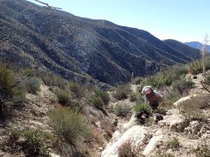
Drive up the Angeles Forest Highway to Mill Creek Summit, and turn at the Mill Creek Summit Picnic Area onto paved road #3N17. Drive past the large fire station here about .25 mile and park at the upper lot. The road on the east side of the lot is your approach, while the road on the south side is where you will return. Head up the well-graded fire road, and don't take the wrong turn we did on the attached GPS track at location 34.386210, -118.075246 or you will begin descending, and will have to climb back up a steep slope to the road as you can see on the track. Continue on the road to your drop-in point at 34.382.5559, -118.080266. The gully here is the steep but fairly easy to descend all the way down to the stream bed.
Descent[edit]
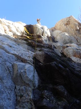
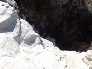
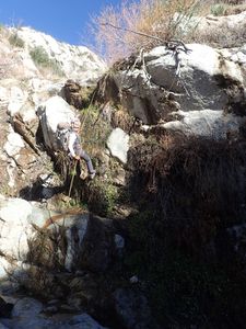
Now simply descend downstream, with numerous fun and aesthetically pleasant down climbs. Rappel 1 is marked on the map and is about a 35' drop over steep white cliffs, which would be very hazardous to attempt to down climb. We used a boulder as anchor that is right at the cliff edge - a cairn may be a better choice. Note that I failed to mark Rappel 2 on the track, but you will recognize it immediately as a substantial drop of about 70', which is the longest. We used a large well placed boulder about 20' back from the edge as anchor. Note that Rappel 2 can be seen clearly from Angeles Crest Highway as a large vertical cliff/waterfall about 1 mile away if you look up canyon at the right place when you are on the highway. Rappel 3 follows shortly after Rappel 2, and is about 25'. We used a double bush as anchor to save time, but it may be better to construct a cairn in the future to avoid killing the bush. Some additional down climbs follow, and eventually you will encounter a well graded fire road that crosses the stream bed. This is your exit point.
Exit[edit]
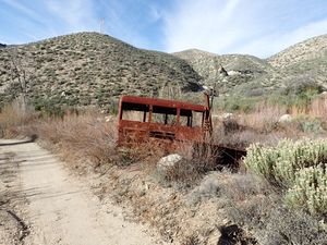
Once you are on well graded and easily recognized fire road 4N18, head to the right if you are looking RDC. This road takes you back up to the parking lot, albeit rather steeply in places. But it is always well graded and easy to follow.
Red tape[edit]
Beta sites[edit]
No beta was discovered for this canyon, and as far as I can tell it is unnamed on any map.
Trip reports and media[edit]
First known canyoneering descent on 1/24/2016 by Jim Sugel and Gwen Stone.
