Wolf Creek (Upper)
| Rating: | |||||||||||||||||||||||||||||||
|---|---|---|---|---|---|---|---|---|---|---|---|---|---|---|---|---|---|---|---|---|---|---|---|---|---|---|---|---|---|---|---|
| | Raps:8-10, max ↨70ft
Red Tape:No permit required Shuttle:Optional 10 min Vehicle:Passenger | ||||||||||||||||||||||||||||||
| Location: | |||||||||||||||||||||||||||||||
| Condition Reports: | |||||||||||||||||||||||||||||||
| Best season: | Aug-Sep
|
||||||||||||||||||||||||||||||
| Regions: | |||||||||||||||||||||||||||||||
Introduction[edit]
The water here is EXTREMELY COLD, and this canyon has higher flow than most Colorado canyons. None of the rappels put you directly in the watercourse (only momentarily), which is disappointing to those looking to do so, but the few short swims and jumps that submerge your head are enough to make this a very, very cold day. Best to get started no earlier than 11:00AM in order to get some sun exposure. Almost all of the waterfalls are spread and aerated and therefore not as dangerous as laminer spouts.
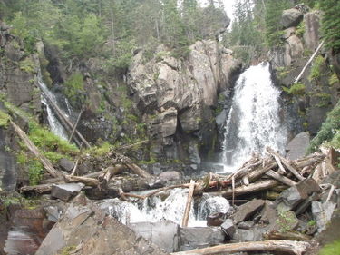
Upper Wolf Creek is a beautiful canyon just below Wolf Creek Pass to the west. It is a very technical wet canyon descent and can be very dangerous - the third drop in particular. As a whole the two Wolf Creek canyons are some of the best technical canyon descents in Colorado and should not be missed by those with the proper training, equipment and experience.
Approach[edit]
Located 19 miles north of Pagosa Springs and 24 miles south of South Fork on Highway 160. Parking is between mile marker 162 and 163 on a large DOT dirt parking area on the east side of the highway, just above and opposite a runaway truck ramp, near Camp Creek.
There is no gauge on Wolf Creek, so you must eyeball the first waterfall and decide if you want to go on. The second and third waterfalls can be very heavy and dangerous so do not attempt them if the water is beyond your abilities. Escape up to the highway is an option, albeit a steep one.
Get off the expansive parking platform on the east side and scramble down a grassy slope that turns into a scree field; just before the bottom of the scree field head right over a small knoll and you will drop in just above the first falls. This may be the best way down. Alternatively, you can get off the parking platform on the northeast corner and have a closer and easier walk down to the watercourse but then you must creek your way down about 1/4 mile to the first rappel.
Whatever you do, do not get off the parking area to the west and follow Camp Creek down. This is a very precipitous drop and puts you in Wolf Creek below the first 4 rappels, thus missing half of the technical route.
Descent[edit]
Note that this beta talks about "water disconnects". If you do not know how to set the rope length and avoid these disconnects, you need to save this canyon for a day after you learn these skills. Water disconnects are dangerous in flowing water should not be done here.
If you came to the San Juans seeking to rappel in big waterfalls, this will be very disappointing if you follow all existing anchors, yet is easily remedied by using different anchor placement for R1 and R5 in particular, as described below. The flow is generally too dangerous to be directly in it, but in the lowest point of the season, which may be in August or early September, this could be possible.
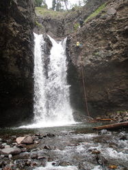
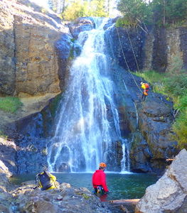
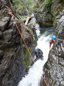
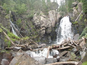
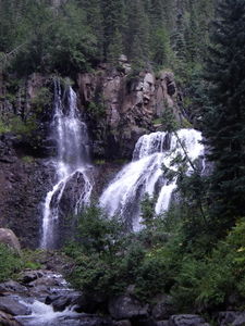
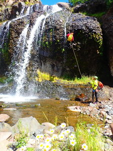
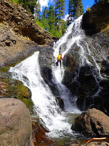
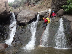
R1: 70ft rappel from bolts canyon right out of the watercourse and walk ledges. The water in the pool was very deep. This could be one of the best waterfall rappels anywhere using a different anchor placement that puts you in the watercourse and would allow for a potential deep water disconnect, or even a partial jump off rope 10 or 20 feet above the pool. Core shots have occurred at this drop so watch your rope carefully.
R1 (alternate): 115ft from trees Canyon Left provides an optional anchor. The falls are a steep cascade and not overpowering in low season.
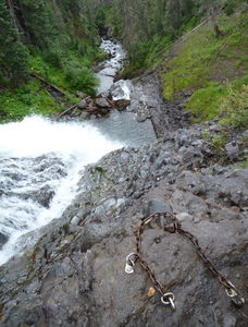
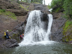
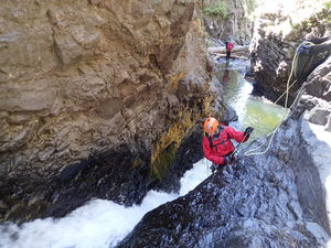
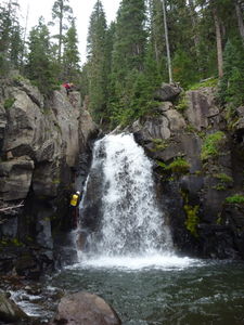
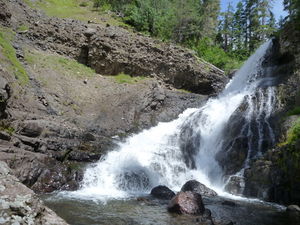
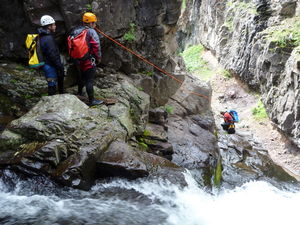
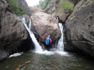
R2: 40ft bolts from midstream boulder into shallow pool. Note: best to extend the anchor by 2 or 3 inches. The length of chain puts your biner block directly on a very sharp edge of the boulder and is a serious chafing, or core shot, concern.
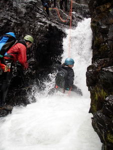
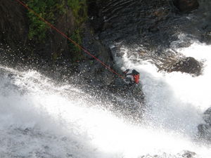
R3: handline CR to ring bolt for 10ft rappel. Chain anchors were originally placed on CL, but now are a long reach. WARNING: This feature is undercut and has trapped people underwater in the hydraulic in the past. Instead push off with proper buoyancy from a rope set to the waterline from the ring anchor CR and paddle quickly away from the boil.
If jumping, J1: 10ft jump into boil. Very slippery take off. Place left hand on left wall for balance if tall enough. Shelf underwater on canyon left. Jump into middle or slightly right.
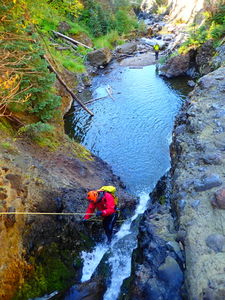
R4: 43ft bolts Canyon Right, wet disconnect, big current. Very slippery.
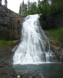
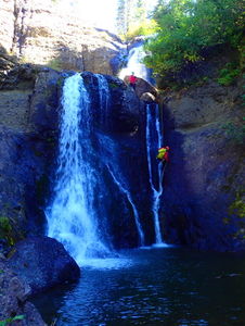
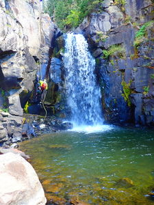
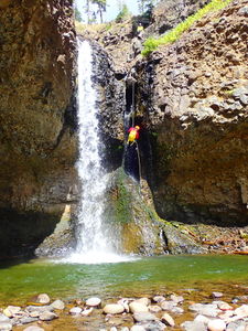
R5: 70ft bolts Canyon Left with 30ft free hang at bottom, hanging garden. Stunning.
R6: 65ft rappel from either a tree on Canyon Left to avoid the watercourse in high water or 65ft from a log in Canyon Center to go through the flow in lower flow.
R7: 50ft bolts Canyon Left in lower flow, followed by R8 OR
R7 (alternate): in high flow: handline with one bolt redirect to anchors with 20ft rappel. Instead of rappelling just 20ft from these anchors on a flat shelf, it is possible to rappel 115ft to the bottom of the waterfall below, skipping R8. Doing this two-stage rappel places the rope over sharp rocks and makes the pull harder.
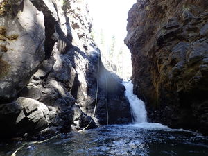
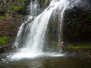
R8: 62ft from rock pinch, mid-watercourse. Brief free-hang, rare opportunity to go behind the veil. A fantastic finish to a fantastic technical route.
If exiting early: After R8, exit canyon right to your car parked at Mile Marker 162 at your first opportunity, then negotiate the steep hillside on game trails.
If continuing downstream: stream walk for a half mile then,
R9: 20ft rappel / slide
R10: 20ft rappel from bolts on huge boulder in canyon center. 10ft free hang.
Walk another 750ft then gain a game trail on canyon right to speed your return. Follow the game trail 1500ft to the tunnel under Highway 160.
Exit[edit]
If exiting early: After the last waterfall, creek your way downstream only a hundred or so yards past a low cliff band on canyon right and then begin to scramble up the steep slope on canyon right. Class 3 scrambling on very loose aglommerate rock and talus slopes involved. If you can find game trails use them. This is a grueling ass-kicker up about 500 vertical feet and exposed to the sun to get back to the highway. From the highway, go right and walk about 1/2 mile to your car.
One of the worst exits of any canyon but certainly not a reason to skip doing it. There are no good options to get out of this canyon.
If continuing downstream: The other option is to creek your way all the way down to the tunnel under Highway 160, which involves a car shuttle and very slippery hiking. After R10 walk another 750ft then gain a game trail on canyon right to speed your return. Follow the game trail 1500ft and exit Canyon Left to the road at the tunnel under Highway 160.
Red tape[edit]
Beta sites[edit]
Trip reports and media[edit]
Sept, 2018: drought year and lower flow. Did all 10 rappels and walked back to the highway, exiting CL before the tunnel (start of Lower). While the exit up the slopes back to the highway at Mile Marker 162 is a challenge, the tedious unremarkable streamwalking that lies below for only two short rappels would indicate going up is faster and preferable.
Sep 7, 2015. 3 people. 4 hours. Everyone got cold. Minor elbow injury on the jump (3rd rappel). Everyone cussing after the exit. Will definitely use different anchors on R1 and R5 on next trip. A shame to go dry right next to some awesome falls that are spread and not too pushy.
