Augusta Falls
| Rating: | |||||||||||||||||||||||||||||||
|---|---|---|---|---|---|---|---|---|---|---|---|---|---|---|---|---|---|---|---|---|---|---|---|---|---|---|---|---|---|---|---|
| | Raps:4, max ↨200ft
Red Tape:No permit required Shuttle: Vehicle:4WD - High Clearance Rock type:Slate | ||||||||||||||||||||||||||||||
| Start: | |||||||||||||||||||||||||||||||
| Parking: | |||||||||||||||||||||||||||||||
| Condition Reports: | |||||||||||||||||||||||||||||||
| Best season: | June-Sept
|
||||||||||||||||||||||||||||||
| Regions: | |||||||||||||||||||||||||||||||
Introduction[edit]
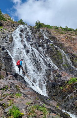
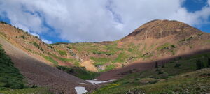
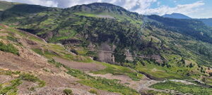
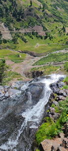
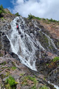
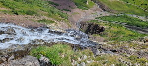
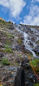
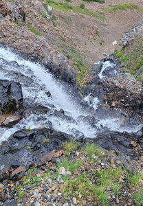
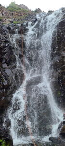
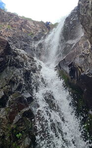
At the end of the road along Poverty Gulch, Augusta Falls cascades 400 feet to a short canyon that narrows near the bottom. The approach along an old road is easy and views down valley back to the town of Crested Butte are great. The first few hundred feet of rappelling follow a path on Rappeller's Left on a non-vertical slippery broad waterfall perched high above the valley below.
Augusta Falls are a good warm up to https://ropewiki.com/Purple_People_Eater_Canyon, which is a tributary further up the Slate River.
Augusta Falls is also a good adventure to combine with nearby https://ropewiki.com/Baxter_Gulch.
Approach[edit]
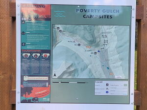
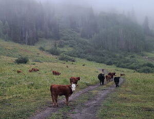
Drive North out of Crested Butte on CR 317 toward Mt. Crested Butte. Turn Left (West) on CR 734 for 8 miles to parallel the Slate River heading North and passing the Oh-Be-Joyful Campground. Turn Left on Forest Service Road 552, where high clearance 4WD will be required. Follow signs to avoid private driveways and cross the Slate River, then dodge cattle on the open range. Select one of the seven Poverty Gulch dispersed campsites or Park near the end of the road for both Baxter Gulch and Augusta Falls.
Hike the Augusta Mine Trail until it nears the watercourse above the first rappel. Depart the trail to the south and scramble up the hill to the West to reach one of the few trees to begin the descent.
Descent[edit]
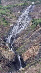
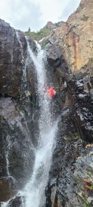
R1: 200' from a tree on Canyon Right above the start of the falls. Get off rappel on Rappeller's Left to reach a dry section of rock to end the rappel. A longer rope is required on Rappeller's Right.
R2: 175' from bolts DCR (Rappeller's Left) just past the huge quartz vein cutting across the waterflow.
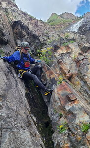
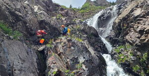
R3: 145' from bolts DCR (Rappeller's Left). A final 40' vertical section completes this rappel to a wide ledge. A longer 215' rope would allow continuing the rappel past the two downclimbs through the next two short waterfalls. Otherwise, complete two downclimbs on Canyon Right.
Downclimb 10'
Downclimb 10'
R4: 110' from bolts DCR
Exit[edit]
Continue downstream to where the Augusta Falls watercourse joins Poverty Gulch. Follow Poverty Gulch a short ways to the Parking location and start of Daisy Pass Trail 404. If the weather is cool enough, turn uphill and complete the short approach to descend https://ropewiki.com/Baxter_Gulch without having to take wetsuits off.
Red tape[edit]
Beta sites[edit]
Trip reports and media[edit]
2024-08-10 First known descent. Ira Lewis, Carl Bern, Wayne Herrick, Ryan Humphries, Rob Demis, Jim Rickard, Dean Brooks.
